The scheme assets are owned by the Water Administration Ministerial Corporation and are managed under delegation by the Department of Climate Change, Energy, the Environment and Water. Scheme assets are located on private land.
Hunter Local Land Services contributes to the maintenance budget, as required by the Water Management Act 2000. This Act repealed the Hunter Valley Flood Mitigation Scheme Act 1956.
Hunter Local Land Services' share is funded by the Hunter Catchment Contributions. Local government ratepayers in the Hunter catchment pay an annual levy, known as Hunter catchment contributions. Local councils also provide a small contribution. Chapter 5 Public Works – Part 2 of the Water Management Act refers directly to Hunter Valley Flood Mitigation works. Works are approved under Part 5 of the Environment Planning and Assessment Act 1979.
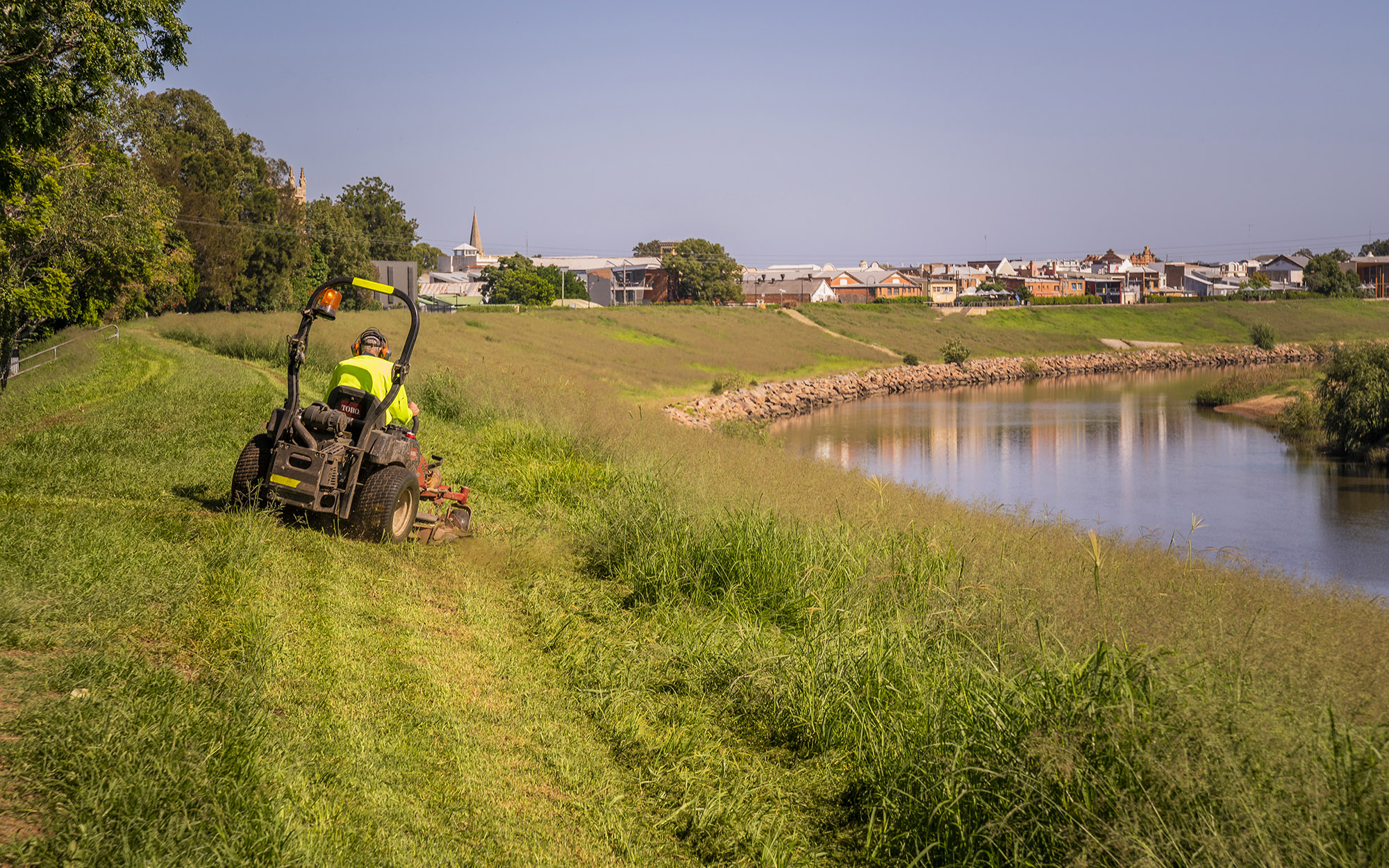
The department is responsible for all maintenance activities of scheme assets. Maintenance activities include:
- levee mowing
- spraying of aquatic and terrestrial weeds
- cleaning of drains
- floodgate repairs.
In some cases, drainage channels extend beyond the department's jurisdiction and we have no authority to undertake any works in these areas.
We also contract other agencies and organisations to do work on their behalf. This can include project design and management, construction work, assessment of environmental factors and stakeholder engagement.
Watch the video
Constructed in the 1970s as a component of the Hunter Valley Flood Mitigation Scheme, Parsons Creek near Yango National Park was impacted during the 2022 floods. Repairs to the asset were completed in 2023.
Flood management assets and activities
Over 2000 individual assets are maintained along the rivers and floodplains.
Levee
An embankment providing a reduction in in flood damages to towns in moderate and major flood events and the rural areas in minor events.
Drainage Channel (or drains)
Control discharge of floodwaters from the river spilling into defined floodways.
Control and diversion banks
Reduce the potential damage by controlling the speed, direction and depth of floodwaters. These are located on the Bolwarra, Oakhampton, Swan Reach and Raymond Terrace floodways.
Floodgate
Prevents backflow from the river as water levels rise during flood events and releases water from drains and creeks after flood waters recede.
Floodway
Part of the natural floodplain allowing diversion of floodwaters away from the main river channel during a flood and which is often a naturally defined channel. If these areas are blocked they can cause a significant change in flood flow, direction and levels, affecting other areas.
Bank stabilisation and protection works
Protection works stabilise and protect surrounding river banks from erosive flood waters, which in turn protects the levee assets.
River or stream banks without vegetation will continue to be unstable if the toe of the bank, where the levee meets the original surface foundation, continues to wash away.
Vegetation within the levee protected zone is limited to grass or low ground coverage. OEH does not permit planting of trees or shrubs within the protected zone.
River Bank Protection WorksProtect the river bank from erosion; this helps to maintain and stabilise the levee.
|  |
Control Banks and BasinsReduce potential damage by controlling the velocity, direction and depth of floodwaters.
|  |
Drainage ChannelsRemove floodwater by directing the water back to the river.
|  |
FloodgatesPrevent the backflow of water to the landscape during a flood. As the river height goes down floodgates allow the water to return to the river.
|  |
FloodplainsLow-lying landscapes adjacent to a river which inundate when the river is in flood.
|  |
LeveesContain rivers and/ or mitigate floodwaters in a flood.
|  |
SpillwaysDivert excess floodwaters through defined flood ways.
|  |
Report damage
To report any damage to the Hunter valley Flood Mitigation Scheme please use the QR code, alterntively you can use the link below or contact us.

Contact us
General enquiries
Phone: 1300 081 047 or send us a message.
For emergency flood assistance call the SES: 132 500
If your life is at risk, call 000.