About the program
We are preparing 13 regional water strategies in partnership with water service providers, local councils, communities, Aboriginal people and other stakeholders across NSW to plan and manage the water needs in each NSW region over the next 20-40 years.
The strategies bring together the most up-to-date information and evidence with all the tools we have – policy, planning, behavioural, regulatory, technology and infrastructure solutions.
Introducing regional water strategies for NSW
Each strategy is an evidence based integrated package that balances diverse water aspirations and delivers the right amount of water, at the right time, to people and businesses across NSW.
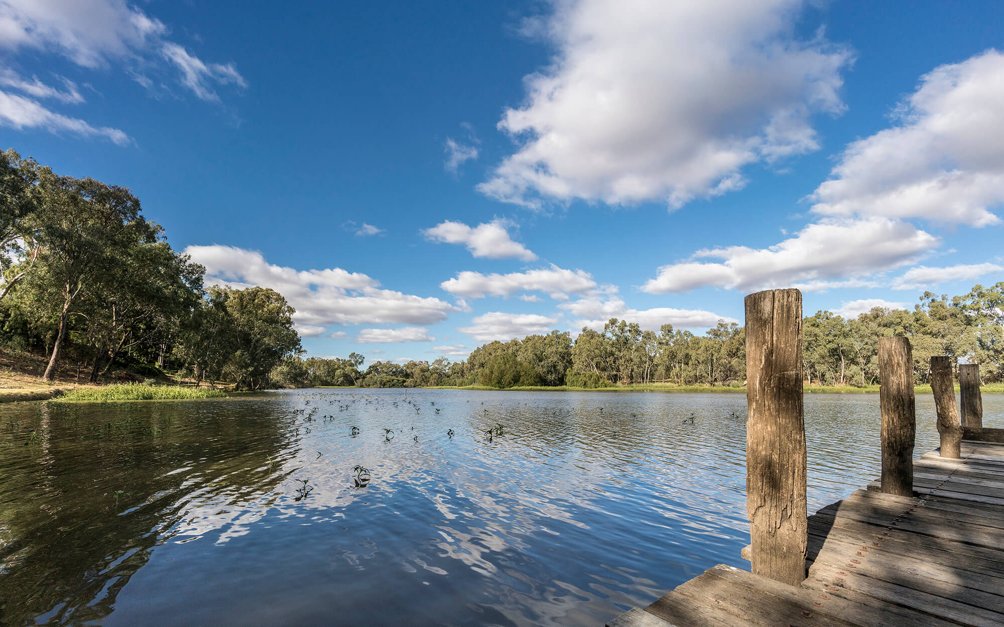
The strategies
Final strategies
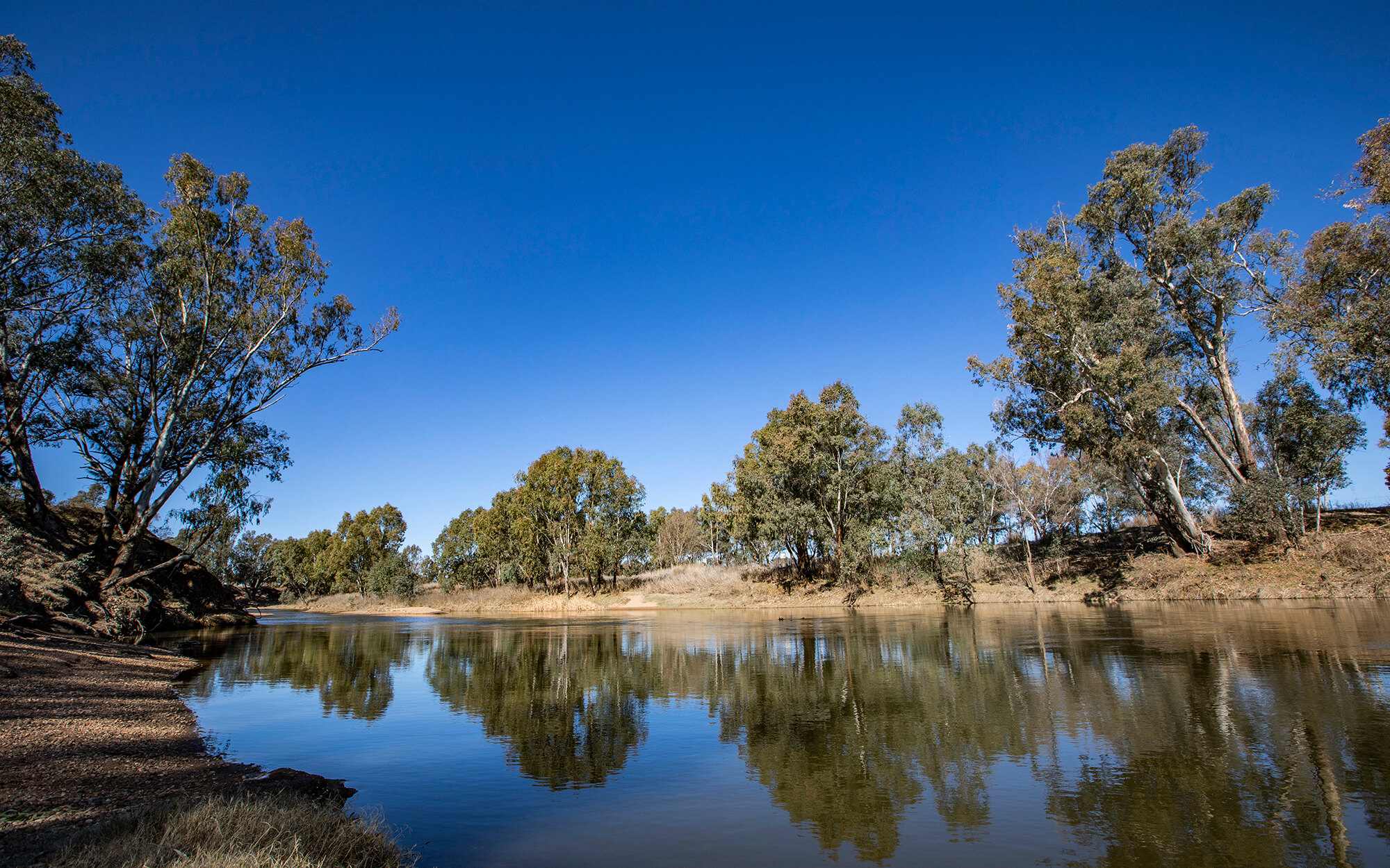
The Border Rivers region is located in the northern most part of NSW, stretching along the NSW Queensland border and includes the towns of Inverell, Glen Innes and Tenterfield.
Adopted November 2022.
The Far North Coast region is located in the north-eastern part of NSW and includes the towns of Lismore, Tweed Heads, Ballina, Casino and Byron Bay. The region covers the Richmond, Tweed and Brunswick River catchments.
Adopted June 2023.
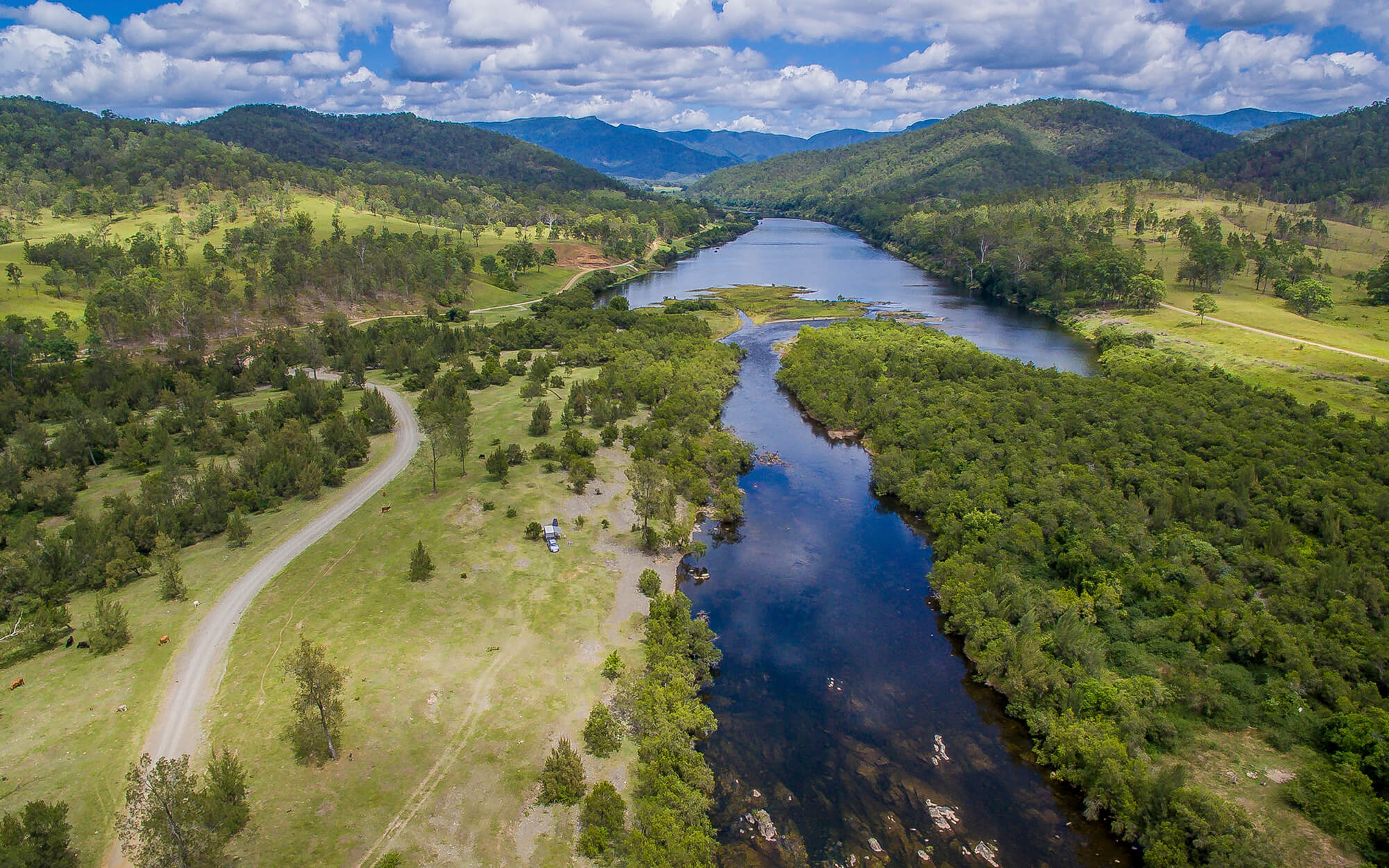
The Greater Hunter Region is located to the east of the Great Dividing Range from the Manning River Valley in the north, to the Central Coast in the south and includes the towns of Newcastle, Maitland, Singleton, Cessnock, Muswellbrook and Raymond Terrace.
Adopted November 2018.
The Gwydir region is located in northern inland NSW and includes the towns of Moree, Bingara, Warialda and Uralla.
Adopted November 2022.
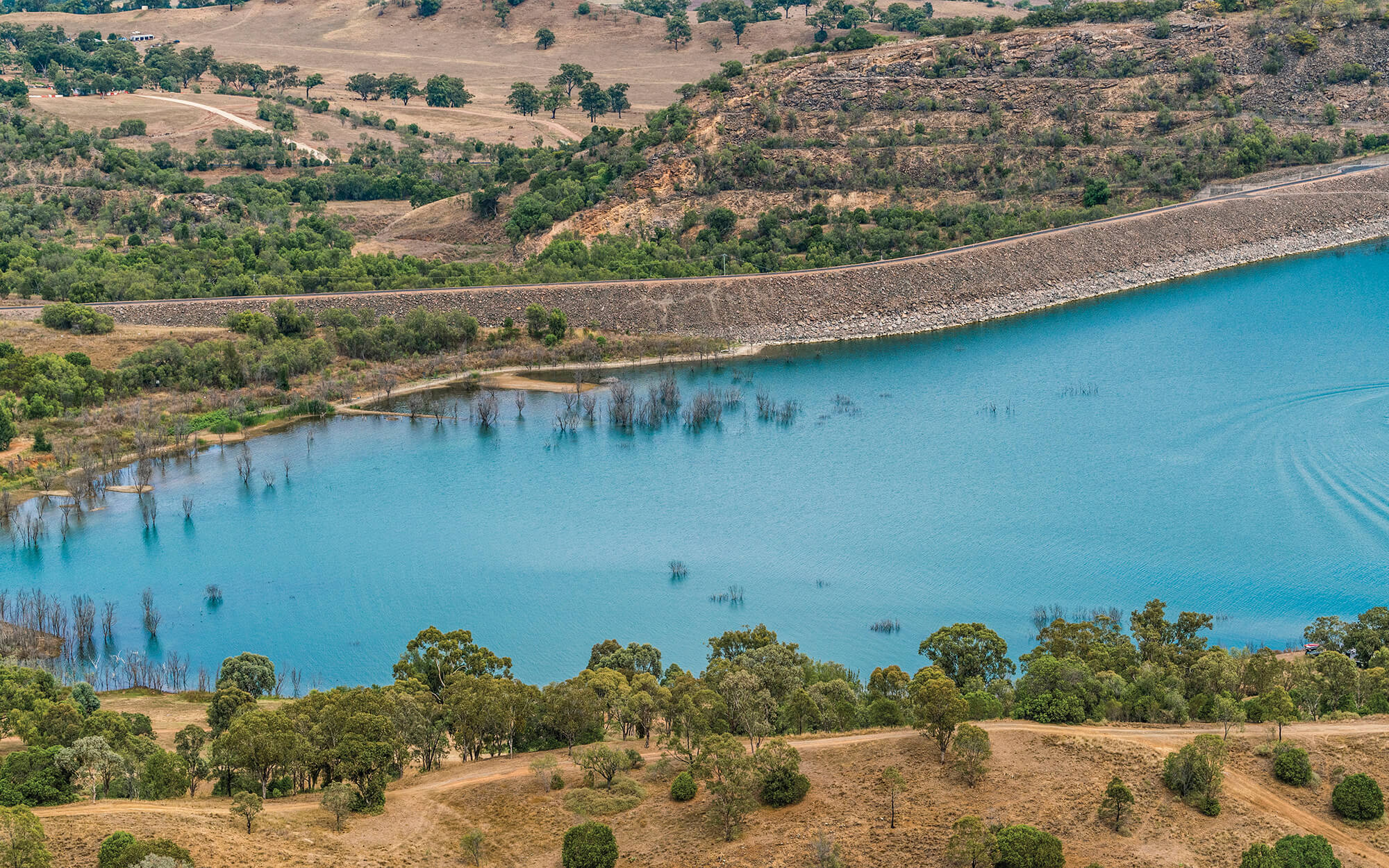
The Macquarie–Castlereagh region is located in central inland NSW. The region includes the towns of Dubbo, Orange, Bathurst.
Adopted October 2023.
The Namoi region is located in northern NSW and stretches from the Great Dividing Range in the east to semi-arid plains of the west. This region includes the towns of Tamworth, Gunnedah and Narrabri.
Adopted June 2023.
The North Coast region is located east of the Great Dividing Range and includes the town of Grafton, Armidale, Coffs Harbour, Kempsey and Port Macquarie.
Adopted November 2022.
The South Coast region is located along the coast directly south of the greater Sydney area. This region includes the towns of Milton–Ulladulla, Vincentia, Batemans Bay and Bega.
Adopted November 2022.
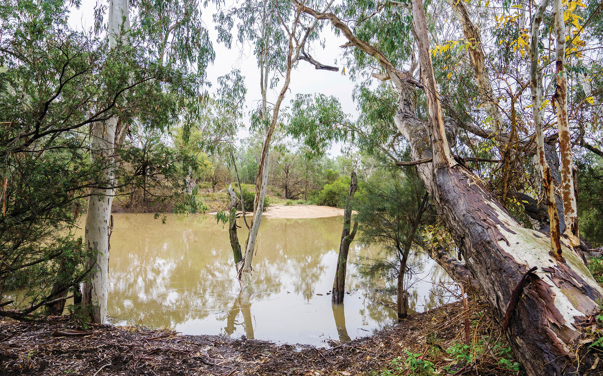
The Western region is located west of the Barwon Darling and includes the towns of Broken Hill, Wilcania and Cobar. The area is vast, flat and low-lying region, making up about one-third of the land mass of New South Wales.
Adopted December 2022.
Strategies under development
A long-term regional water strategy is being developed to guide how the NSW Government can best address the water-related challenges to support a liveable and prosperous Lachlan region.
A long-term regional water strategy is being developed to guide how the NSW Government can best address the water-related challenges to support a liveable and prosperous Murrumbidgee region.
A long-term regional water strategy is being developed to guide how the NSW Government can best address the water-related challenges to support a liveable and prosperous Murray region.
Map of strategy regions
The water strategy regions are:
- Greater Hunter
- Macquarie-Castlereagh
- Lachlan
- Gwydir
- Far North Coast
- Border Rivers
- North Coast
- South Coast
- Namoi
- Western
- Murrumbidgee
- NSW Murray
- Fish River – Wywandy*
*Strategy recently commenced. Further information on this strategy will be published in 2024.
How are we delivering the strategies
Objectives
Long-term 'roadmap' of actions to deliver the five objectives
Regional water strategies will set out a long-term ‘roadmap’ of actions to deliver five objectives. Options selected for inclusion in the final strategy for each region will need to address at least one of these objectives. We aim to develop a balanced package of options that achieves all of these objectives.
 | Deliver and manage water for local communitiesImprove water security, water quality and flood management for regional towns and communities. |
 | Enable economic prosperityImprove water access reliability for regional industries. |
 | Recognise and protect Aboriginal water rights, interests and access to waterIncluding Aboriginal heritage assets. |
 | Protect and enhance the environmentImprove the health and integrity of environmental systems and assets, including by improving water quality. |
 | AffordabilityIdentify least cost policy and infrastructure options. |
Process
The process to develop the strategies
We are working to improve the resilience of our water resources for towns and communities, the environment, Aboriginal communities and industry.
Development of the regional water strategies has been prioritised based on need, risk, and alignment to the State Infrastructure Strategy. This includes a catchment needs assessment for each region and current drought impacts. Upstream catchments are analysed to inform downstream strategies. The information used to develop and finalise the strategies includes scientific data, local and traditional knowledge and community feedback.
We are working with communities across the state in a six-step approach to preparing and implementing regional water strategies.
Draft regional water strategies prepared in consultation with the regions community | Community feedback sought | Implementation | ||||||||
Step 1 | Step 2 | Step 3 | Step 4 | Step 5 | Step 6 | |||||
Identify opportunities and challenges for the region | Understand the future water needs of the region over the next 20 to 30 years | Identify long list of options to meet the challenges and aspirations of the region | Identify key regional challenges. Assess and prioritise options into shortlist proposed action | Finalise key challenges and actions. Develop implementation plan. Integrate new solutions with existing initiatives | Implement and monitor the final strategy and review it regularly | |||||
Community involvement throughout the process is critical to the strategies. We have been working with councils, joint organisations1, Aboriginal communities and Aboriginal peak groups to develop the draft strategies before going out and seeking public comment. Insights from previous engagement on water resource plans and other programs is used in the development of the regional water strategies.
The strategies will provide an opportunity to explore how we can better integrate and shape future planning and policies to deliver improved water outcomes. The objectives, challenges, opportunities and options identified in the draft regional water strategies will be tested, evaluated and refined based on feedback from the public exhibition process and stakeholder engagement.
The draft regional water strategies will include:
- a summary of the results from the climate modelling as well as the challenges and opportunities for the region, and
- a long list of options that could address some of these challenges and opportunities.
We are keen to work with the community to test the long list of options and understand whether there are any additional options we need to consider before they are prioritised. Community feedback and other evidence will be used to analyse these options to create a final short list of actions.
Community feedback will again be sought on the short listed option portfolios before a final regional water strategy for each region is developed.
The final regional water strategies for each region will include:
- a final package of actions approved by government,
- an implementation plan including a clear governance structure for delivery, and
- opportunities for local and regional partnerships
All of which will be focused on maximising water security benefits that are distributed for the best economic and community outcomes.
The Greater Hunter Regional Water Strategy has been finalised and is being implemented.
Work is underway on the strategies throughout 2020-22, and delivery of the final strategies is expected in 2022 and 2023.
Identifying and assessing options
We have developed a decision-making process for the strategies to assess and prioritise options that meet one or more of our objectives and combine them in a way that maximises the resilience of the region’s water resources, now and for the future.
We will use the best and latest evidence, and a range of assessment tools to identify risks and opportunities associated with each option.
The process is consistent with the NSW Government’s policies for evidence-based decision-making and economic analysis. It is also consistent with the objectives of the NSW Water Management Act 2000 and with other policy obligations, including the Murray Darling Basin Plan. It is also compliant with NSW Treasury Guidelines.
The figure below illustrates the five broad stages of the options assessment decision-making process. Further information on the process is available in the Regional Water Strategies Guide (PDF, 3559.18 KB).
Option assessment framework
The options assessment framework developed for the regional water strategies aims to address these challenges in a transparent, evidence-based and consistent way.
Options assessment process (PDF, 4.9 MB)

Also available to download in a larger size (JPG, 441.32 KB).
The process will be used to assess and prioritise the long list of draft options into a series of proposed options for implementation in each final regional water strategy. The options will also need to be considered within the context of existing Australian and NSW Government commitments and reforms.
Community engagement
Our engagement approach for the regional water strategies program is to inform, gain information and feedback and collaborate with key stakeholders on the development of each strategy. We will do this using a range of fit for purpose engagement tools.
Our approach is based on the Public Participation Spectrum developed by the International Association for Public Participation (IAP2 Spectrum) and the department's Community Engagement Policy.
We recognise that engaging with stakeholders and the community leads to better public policy outcomes, improved service delivery and enhanced customer satisfaction.
The regional water strategies engagement program comprises four phases aligned with the preparation and implementation approach for each of the strategies.

Also available to download in high resolution JPG, 99.54 KB.
- During the pre-release phase we will have initial discussions with Aboriginal peak groups as well as councils, local water utilities, joint organisations and Aboriginal communities in each region. During these meetings we are providing an overview of the regional water strategies program and our process. Our focus is to understand the regional challenges and future water needs, and discuss potential options.
- During the public exhibition phase we will be informing the broader community of the draft regional water strategy and seek feedback on the strategy overall including the draft long list of options. The first public exhibition period will include multiple avenues to access information and provide feedback.
- Following the public exhibition phase we will undertake further targeted engagement with Aboriginal peak bodies, councils, local water utilities and joint organisations and Aboriginal communities in each region. Our focus is to refine the options for a second public exhibition period to gain feedback on a short list of options.
- Public release of the final regional water strategy will focus on informing the broader community of the published strategy.
We have been consulting on water sharing plans, water resource plans, metering reforms, environmental water management and drought. Through those processes, we have heard many ideas about how to be better prepared for future droughts and floods and a more variable climate. We are taking this feedback into consideration during the development of the regional water strategies.
Engagement with First Nations
Objectives and principles for engaging with Aboriginal people
One of the objectives of the regional water strategies is to recognise and protect Aboriginal water rights, interests and access to water, including Aboriginal heritage assets.
We have been working with an Aboriginal Water Coalition (the coalition) to provide advice during the development of the strategies. The coalition has representatives from peak Aboriginal organisations including the NSW Aboriginal Land Council (NSWALC), Northern Basin Aboriginal Nations (NBAN) and Murray Lower Darling River Indigenous Nations (MLDRIN).
Have your say_First Nations from DPE External Communications on Vimeo.
Engagement approach
Our approach is to inform and involve Aboriginal communities during the development of the strategies including the development of draft options. We are committed to respectfully and proactively engage with communities, organisations and individuals.
In collaboration with the coalition, workshops with interested Aboriginal people are being held to discuss:
- Water management
- The regional water strategy process
- Opportunities and challenges for the region
- Regional profiles
- Draft strategy options, and
- Outcomes of the public exhibition process and strategy accreditation processes.
Workshops are facilitated by independent Aboriginal facilitators and focused on sharing information, building relationships and involving Aboriginal people in the development of regional water strategy options. Subject to COVID-19 requirements and advice from the coalition, workshops are being held in several local communities across each water strategy region and are accompanied by presentations including maps and information sheets. These workshops inform ‘What We Heard’ Reports in each region.
The following fact sheets provide information on water management in NSW, with a focus on cultural values and rights relating to water.
Six Pillar Model
We are also building on our prior work with Aboriginal communities; a six pillar model was developed that describes key water objectives and outcomes for Aboriginal people. These pillars have been a starting point for discussion with Aboriginal communities about the regional water strategies.
Cultural
Acknowledge the central role of water in Aboriginal culture, and the inter-dependencies with economic, social and environmental outcomes.
Health and well-being
Acknowledge that water (quality and quantity) is critical to sustaining healthy communities, which underpins the ability to live on and care for Country.
Country
Improve and enable access to Country to maintain healthy waterways.
Engagement
Embed culturally appropriate Aboriginal engagement, participation, partnerships and communication processes into water management and government decision making.
Economic
Seek opportunities to use existing water and access to additional water to generate employment and business ventures.
Shared benefits
Seek opportunities to use water allocated for environmental and consumptive purposes to deliver Aboriginal outcomes and benefits where synergies exist.
Climate data and modelling
New climate data and modelling
Regional water strategies will be underpinned by new climate data and modelling that improves our understanding of past climate conditions and plausible climate futures, providing a more accurate picture of extreme climate events.
We are using a new four-step approach to better understand past and future climate risk.
- Historical data – in the first step, we analyse past 130 years of recorded climate data and the climate drivers that influence past and present climate. This gives us an understanding of the variability of our climatic system, but we recognise that 130 years is not enough to understand the likelihood of extreme events, especially long-term droughts.
- Paleoclimate data - using scientific methods, we are supplementing our historical record of climate conditions with new paleoclimate data (reconstructed from sources such as tree rings, cave deposits and coral growth). Combining these two elements gives us over 500 years of climate data.
- Stochastic methods - we can then use a stochastic modelling method (based on the statistical characteristics of the new climate data) to help us quantify climate variability. This type of modelling tells us much more about possible climatic extremes and the natural variability in the climate.
- Climate projections – we can then apply the NSW Government’s climate projections to this new data set to understand the impacts if climate change scenarios eventuate.
The figure below illustrates our approach. Also available to download in high resolution JPG, 847.58 KB.

This improved climate data will inform our river system models to gain a better understanding of water security and reliability risks faced by water users and the environment within each region. We will use the data to investigate the potential benefits and impacts of regional water strategy options. The data will also be used by WaterNSW and other agencies to assess the merits of new projects, plans and programs.
Read our frequently asked questions to find out more about the use of new climate data for the development of regional water strategies.
Expert panel says new method significantly advances our understanding of climate risk
The method was developed by the department, with advice from the University of Newcastle and the University of Adelaide. We have commissioned a review of the method and its implementation by an independent panel of experts co-ordinated by the Office of the Chief Scientist and Engineer.
The panel found that the method is ‘fit for purpose’ in providing the best available knowledge of climate risk to inform NSW’s regional water strategies. They found that the method was consistent with best practice in the field and a major advance over using only historical records or only climate models. The expert panel noted that this is an area where the science is still developing. They recommended ongoing work to continuously improve the method and keep up to date with the latest scientific findings. The NSW Government is considering all their recommendations.
Our climate modelling approach
To help explain our new climate modelling approach we have developed a report that summarises the data we have used, and the way we have used it to develop new long-term datasets to represent a wide range of plausible climate events. We then use these datasets in our water planning models, which model the whole waterway system, including headwaters, storages, lakes, groundwater, and flows.
The new modelling shows that our water supplies in NSW could be less secure than we thought. By using paleoclimate data we have factored in that droughts longer than those of the last 130 years are likely at some point, and that we could see higher temperatures and less rainfall.
Climate analysis informs NSW’s regional water strategies report PDF, 4549.27 KB
Climate analysis informs NSW’s regional water strategies fact sheet PDF, 513.92 KB