The Yanga National Park Project is part of Water Infrastructure NSW’s Sustainable Diversion Limit Adjustment Mechanism (SDLAM) program, which is part of the greater Murray-Darling Basin Plan. The SDLAM program puts measures in place to divert water using sustainable methods and infrastructure to ensure better environmental and community outcomes.
About Yanga National Park
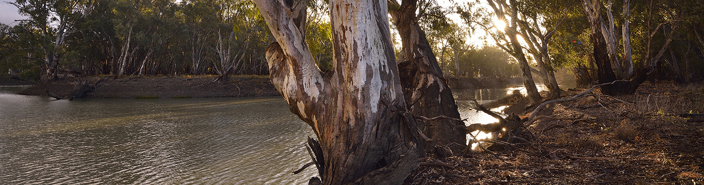
Located on the traditional land of the Mutthi Mutthi, Nari Nari and Wadi Wadi People, Yanga National Park is in the Lower Murrumbidgee floodplain and is one of the state’s newest parks but has a long and significant history. The park is approximately 35,000 hectares in size and is located alongside Redbank Weir and the township of Balranald on the Lower Murrumbidgee River floodplain.
About the project
The project aims to improve the efficient delivery of environmental water using a range of infrastructure solutions, including modifying embankments and the upgrading of regulators currently impact these flows. These improvements will allow for more efficient and effective use of water currently diverted from the Murrumbidgee River.
The project focusses on improving existing infrastructure and implementing new structures and diversion measures across the park to improve environmental water management.
Infrastructure works being considered include:
- upgrading two primary regulators and a range of secondary regulators with either new structures, or new gate arrangements fitted to existing structures
- upgrading road structures such as pipe or box culverts and sills, currently preventing water flow
- reopening flood paths by modifying earthen embankments.
The project will deliver the following environmental and socio-economic benefits:
- increased viability of native grasses, shrubs and trees such as lignum shrubland
- improved movement of fish, and fish habitat and refuge
- improved wetland condition, function and structure - meaning more favourable conditions for waterbirds and aquatic animals
- improved conditions for native plant species by reducing over-watering and under-watering
- the provision of drought refuge sites for native wetland fauna, sustaining and improving dispersal between riverine, wetland and floodplain habitat, maintaining ecological connectivity and increasing structural diversity of habitats
- improved natural wetting and drying cycles to support aquatic flora and endangered native species such as the Australasian Bittern and the Southern Bell Frog.
Project map
View the locations of the sub-projects making up the Yanga National Park Project.
Project status
The Yanga National Park Project is progressing through the concept design phase. In addition to the delivery of a concept design, this project phase involves the development of Basis of Design reports, preliminary procurement documents, delivery and operational plans, and approval processes for each of the project components. These project activities are critical to the project’s progression to detailed design and construction.
The planning, consultation and modelling to inform these activities is underway and stakeholder reviews of the draft design are progressing.
Community engagement
We are committed to working together with stakeholders to design and deliver the best possible results for the region and its communities.
We have governance structures included in the project, such as advisory groups, representing stakeholders and helping to guide the project.
Additionally, at key points within the project pipeline we will engage with local communities and provide them opportunities for feedback.
Frequently asked questions
Learn more about the project through these frequently asked questions and answers.
What does the Yanga National Park Project involve?
The project proposes upgrading and constructing water infrastructure assets to allow water to be allocated more efficiently. These measures may include engineering works to provide increased benefits to ecological communities.
The project will operate in conjunction with other Sustainable Diversion Limit (SDL) works under the Murray-Darling Basin Plan, including the Murray Valley National Park project (Millewa project) and the already completed neighbouring Gayini (previously known as Nimmie Caira) project.
What is Environmental Water?
Environmental water is water that is allocated and managed specifically to maintain and improve the health of rivers, wetlands and floodplains.
What are the ecological outcomes and benefits?
The project will see a targeted movement of water to keep waterways, floodplains and wetlands healthy. When the waterways and surrounding wetlands are healthy, they support a range of ecological outcomes and contribute to the social well-being of communities using them for recreational purposes.
Who owns the infrastructure?
Existing infrastructure in Yanga National Park is the property of the NSW National Parks and Wildlife Service (NPWS). The two regulators on the Murrumbidgee River providing flows into Yanga National Park, referred to as 1AS and 1ES regulators, will remain an asset of WaterNSW. Ownership of any new infrastructure on park is still to be negotiated between the Department of Planning, Industry and Environment’s Water Infrastructure NSW and NPWS.
Contact us
For more information call us on 1300 081 047 or email us at: water.enquiries@dpie.nsw.gov.au