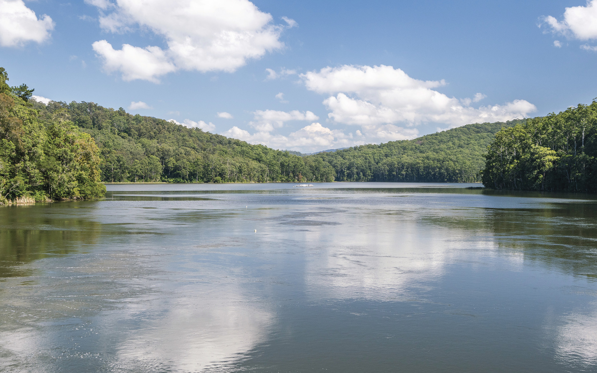
About the region
The Hunter region is bordered in the north-west by the Liverpool Ranges which separate it from the Namoi catchment, and on the west by the Great Dividing Range, which separates it from the Macquarie River catchment. It covers an area over 20,000km2 and extends further inland than any other coastal region of NSW.
The water sharing plans that apply to the surface water and groundwater resources of the Hunter region are listed below.
It is the traditional lands of the Kamilaroi, Geawegal and Wonnarua people.
Hunter Regulated River Water Source 2016
Status: In force
Commencement date: July 2016
Cease date: June 2026
Read: Hunter Regulated River Water Source 2016
This plan has been amended since it commenced. See the NSW Legislation site for details.
| Maps | Supporting documentation | Prior water sharing plan status |
|---|---|---|
| N/A | N/A |
Hunter Unregulated and Alluvial Water Sources 2022
Status: In force
Commencement date: July 2022
Cease date: June 2032
Read: Hunter Unregulated and Alluvial Water Sources 2022
This plan has been amended since it commenced. See the NSW Legislation site for details.
Lower North Coast Unregulated and Alluvial Water Sources 2022
Status: In force
Commencement date: July 2022
Cease date: June 2032
Read: Lower North Coast Unregulated and Alluvial Water Sources 2022
This plan has been amended since it commenced. See the NSW Legislation site for details.
North Coast Coastal Sands Groundwater Sources 2016
Status: In force
Commencement date: July 2016
Cease date: June 2026
Read: North Coast Coastal Sands Groundwater Sources 2016
This plan has been amended since it commenced. See the NSW legislation site for details.
North Coast Fractured and Porous Rock Groundwater Sources 2016
Status: In force
Commencement date: July 2016
Cease date: June 2026
Read: North Coast Fractured and Porous Rock Groundwater Sources 2016
This plan has been amended since it commenced. See the NSW legislation site for details.
| Maps | Supporting documentation | Prior water sharing plan status |
|---|---|---|
| N/A |
Paterson Regulated River Water Source 2019
Status: In force
Commencement date: July 2019
Cease date: June 2029
Read: Paterson Regulated River Water Source 2019
This plan has been amended since it commenced. See the NSW legislation site for details.
| Maps | Supporting documentation | Prior water sharing plan status |
|---|---|---|
| N/A | N/A |