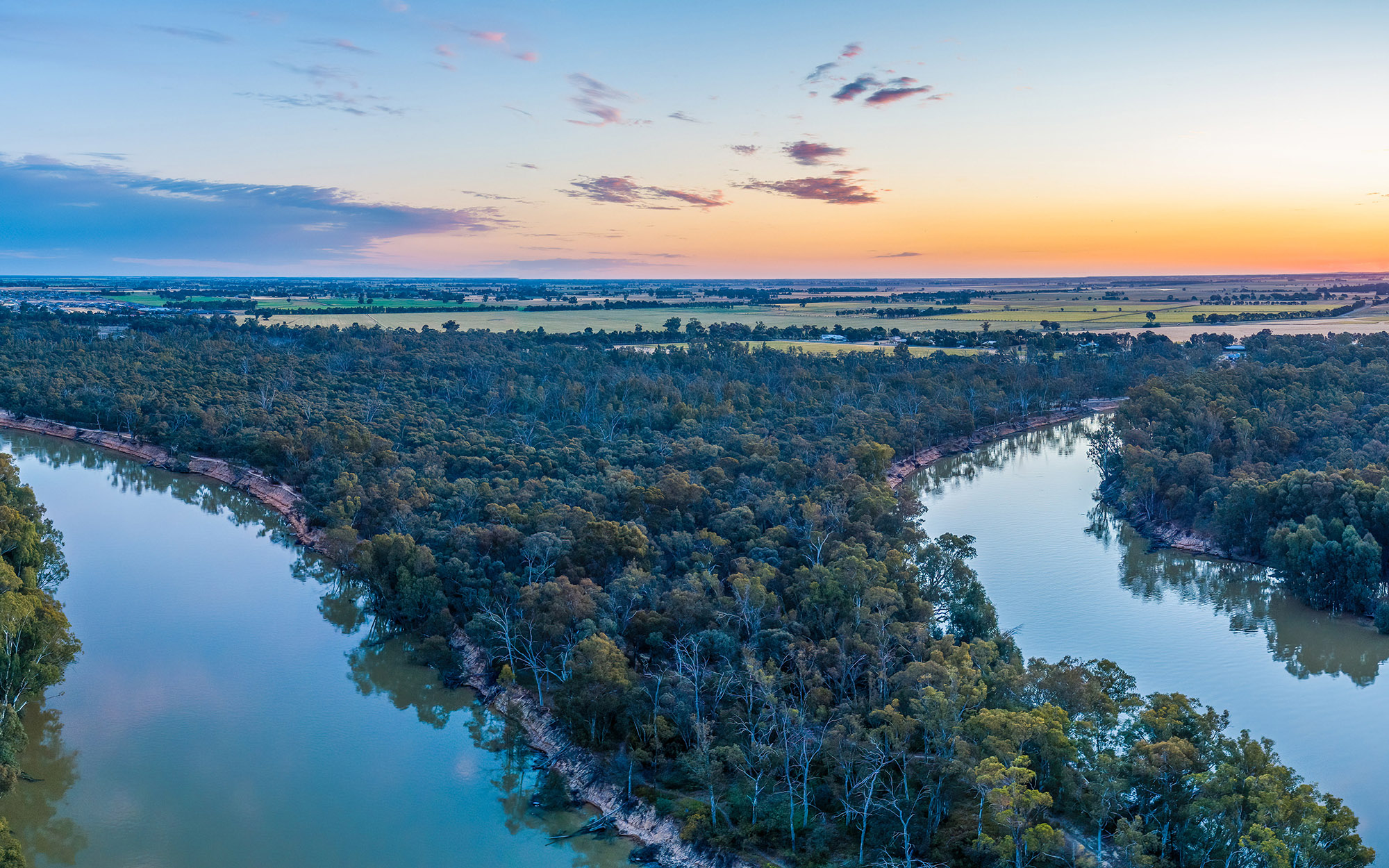
About the region
The Murray region is bordered by the Great Dividing Range to the east, the Victorian border in the south and the Murrumbidgee region in the north. It covers an area of over 20,500 km2 (approximate).
The water sharing plans that apply to the surface water and groundwater resources of the Murray region are listed below.
The region is the traditional lands of Barkandji, Barapa Barapa, Maljangapa, Maraura, Muthi Muthi, Ngiyampaa, Tati Tati, Wadi Wadi, Weki Weki, Wemba Wemba, Wiradjuri and Yorta Yorta Nations.
Murray Alluvial Groundwater Sources 2020
Status: In force
Commencement date: July 2020
Cease date: June 2030
Read: Murray Alluvial Groundwater Sources 2020
Note:
- Billabong Creek Alluvial Groundwater Source is within the WSP for the Murray Alluvial Groundwater Sources.
- The Upper Billabong (surface) Water Source is within the WSP for the Murrumbidgee Unregulated Water Sources.
This plan has been amended since it commenced. See the NSW Legislation site for details.
| Maps | Supporting documentation | Prior water sharing plan status |
|---|---|---|
|
Murray Unregulated River Water Sources 2024
Status: In force
Commencement date: July 2024
Cease date: June 2034
| Maps | Supporting documentation | Prior water sharing plan status |
|---|---|---|
NSW Murray and Lower Darling Regulated Rivers Water Sources 2016
Status: In force
Commencement date: July 2016
Cease date: June 2026
Read: NSW Murray and Lower Darling Regulated Rivers Water Sources 2016
This plan has been amended since it commenced. See the NSW Legislation site for details.
| Maps | Supporting documentation | Prior water sharing plan status |
|---|---|---|
| N/A | N/A |
NSW Murray–Darling Basin Fractured Rock Groundwater Sources 2020
Status: In force
Commencement date: July 2020
Cease date: June 2030
Read: NSW Murray–Darling Basin Fractured Rock Groundwater Sources 2020
This plan has been amended since it commenced. See the NSW legislation site for details.
| Maps | Supporting documentation | Prior water sharing plan status |
|---|---|---|
NSW Murray–Darling Basin Porous Rock Groundwater Sources 2020
Status: In force
Commencement date: July 2020
Cease date: June 2030
Read: NSW Murray–Darling Basin Porous Rock Groundwater Sources 2020
This plan has been amended since it commenced. See the NSW legislation site for details.
| Maps | Supporting documentation | Prior water sharing plan status |
|---|---|---|