Northern Murray Darling Basin vegetation survey
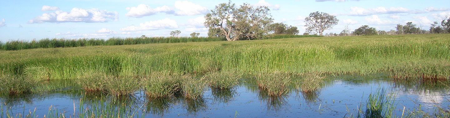
The Surface Water Science Team is surveying plant communities in the Northern Murray Darling Basin to help understand how the health of plant communities is linked to the availability of groundwater, river flows and water on the floodplains.
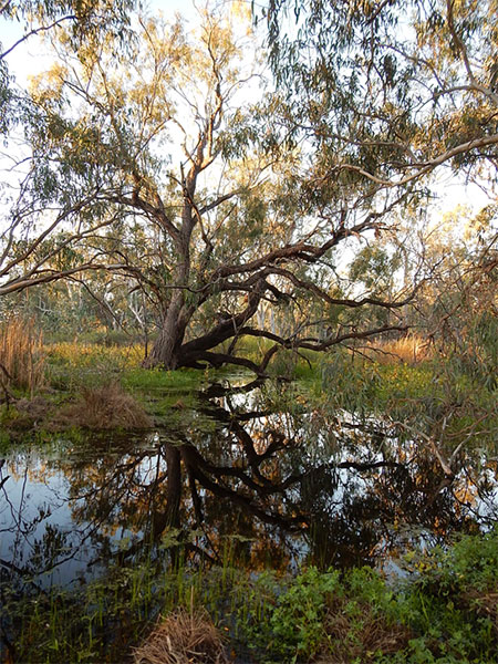
We are taking measurements to assess plant condition, such as tree size, tree canopy health and germination of young trees. We will compare different parts of the river and floodplain network as well as water table levels to determine which conditions provide the best habitat to support healthy vegetation.
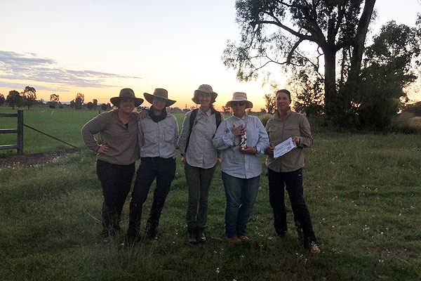
We are working together with researchers from universities, the Department of Climate Change, Energy, the Environment and Water, Energy and Science, the Commonwealth Environmental Water Office and Local Land Services.
Understanding how much water is needed to protect plant communities by monitoring plant health, will ensure the management of water in NSW results in a sustainable environment for the future.
More information
For more information, please download the fact sheet.
Northern Murray Darling Basin vegetation survey fact sheet (PDF 203KB)