Murrumbidgee Floodplain Management Plan open for feedback
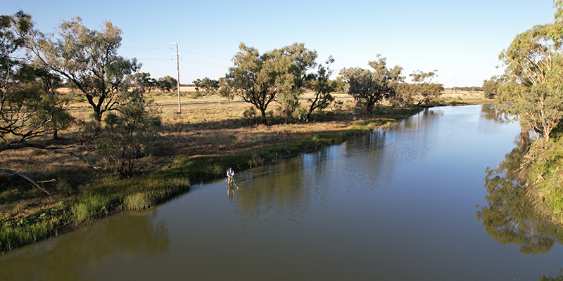
Residents and stakeholders downstream of Wagga Wagga are invited to have their say on key elements of the draft Murrumbidgee Floodplain Management Plan, an important tool to manage rural flood works and their valley-wide effects on flows and connectivity.
Floodplain management plans set the rules for flood work applications within declared floodplains. Flood works include roads, channels, dams or levee banks that can change the way water flows to or from a river or change the way water moves during a flood.
Once developed, the Murrumbidgee Floodplain Management Plan will be used as a guide to coordinating what types of flood works can be constructed and where across the floodplain. It will do this while balancing the needs of communities, landholders and the environment, as well as protecting cultural and heritage sites.
In this first round of public consultation, open from 25 March - 5 May, we are inviting the community to give early feedback on key elements of the draft plan. This will include the proposed floodplain boundary, the historical flood events used for modelling, the floodway network, cultural and heritage sites, ecological assets, and local variances to some rules.
We are encouraging landholders and communities to read the Report to Assist Public Consultation and we invite them to book an appointment with Department staff to ask questions and learn how to make a submission.
For more information and to book an appointment, visit the Murrumbidgee Floodplain Management Plan.
We will release the full draft floodplain management plan as part of a second round of public consultation later this year.
The draft Murrumbidgee floodplain plan is the first revamped Floodplain Management Plan in the southern Murray-Darling Basin. It is a key part of our work to modernise and replace 10 outdated floodplain management plans for rural areas with four valley-wide plans across the Murrumbidgee, Murray, Billabong Creek and Lachlan valleys.
The new plans will include larger areas of the floodplains and connect the Lachlan, Murray, Murrumbidgee and Billabong Creek valleys. They will also work to protect important wetland areas that were not previously covered, including the nationally significant Lowbidgee Floodplain in the Murrumbidgee.
The plans are being remade in accordance with independent review recommendations and recommendations from the Natural Resources Commission audit report.
We will continue to work closely with the community as we develop these plans and consider all feedback before each plan is finalised.
Executive Director of Water Planning – Water, NSW Department of Climate Change, Energy, the Environment and Water, Giselle Howard, said:
“Floodplain management plans for these rural areas are valid for 10 years once finalised, so it’s important the local community, landholders and stakeholders are informed and have their say while the Murrumbidgee plan is under development.
“We know the Murrumbidgee, alongside much of the Southern Basin, was hit by extreme flooding in 2022, which severely impacted people and the environment.
“It's an urgent reminder why this plan is so important – the way we manage our floodplains plays a key role in maintaining healthy communities and environments, especially during weather extremes.
“We want to hear from all stakeholders about the proposed elements that will be used to develop the new draft plan. Your input is critical in helping us develop a plan that will apply across the Murrumbidgee Valley floodplain for the decade to come.”