A NSW Government website

Water sharing plan status

Border Rivers region

Information about water sharing plans for the Border Rivers region.

Macintyre River in Kwiambal National Park, New South Wales.

About the region

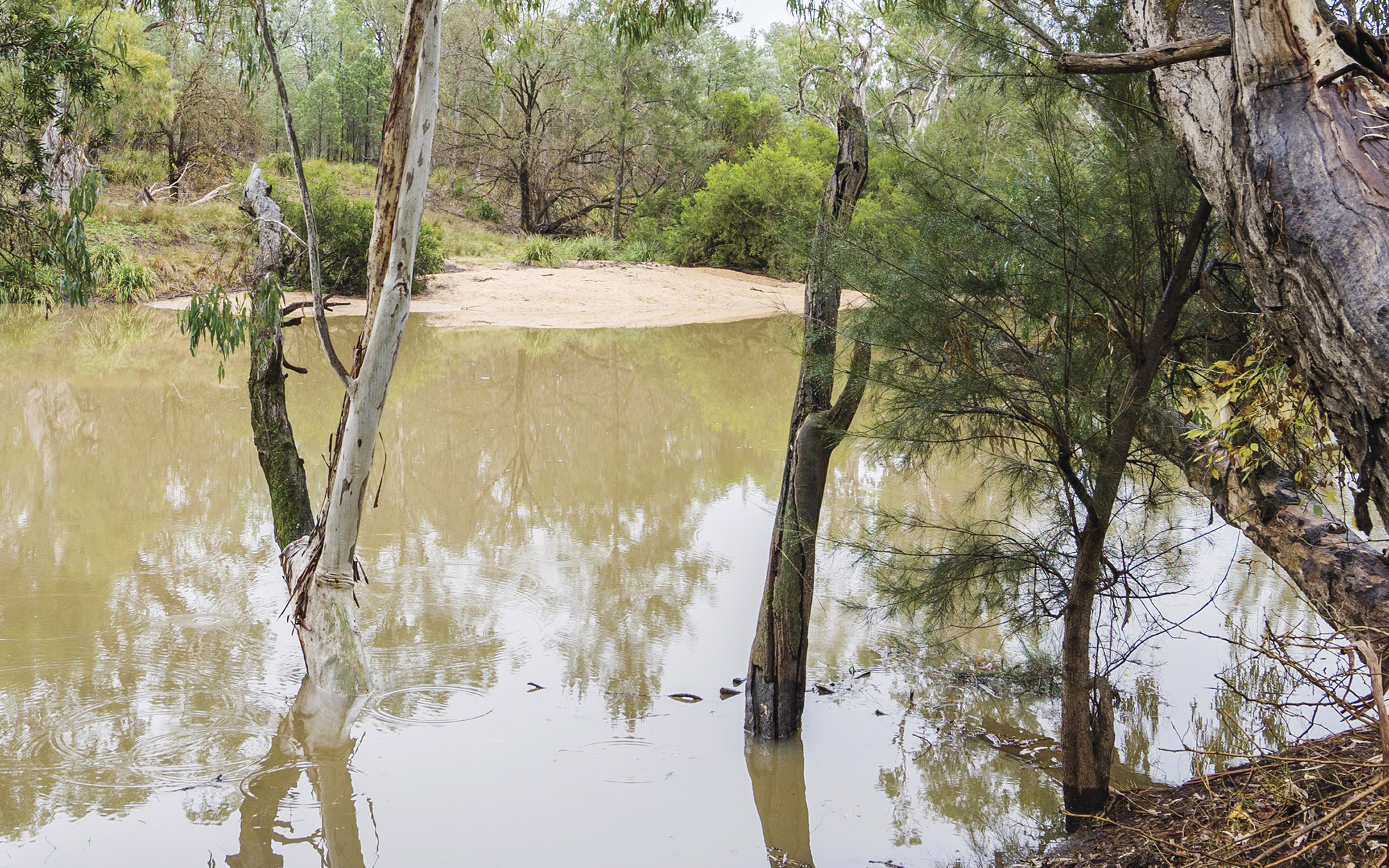
The Border Rivers region comprise the catchments of the Dumaresq, Severn, Macintyre and Barwon Rivers which drain from the Great Dividing Range between Inverell in far northern NSW and Warrenbayne in Southern Queensland. The catchment occupies an area of approximately 49,500 km2 of which approximately 24,500 km2 is situated within NSW.

The Border Rivers flow through the traditional lands of the Bigambul, Githabul, Kambuwal, Gomeroi/Kamilaroi, Kwiambul and Ngarabal Nations.

The water sharing plans that apply to the surface water and groundwater resources of the Border Rivers region are listed below.

View all plans

Water Sharing Plan (WSP) Supporting documentation Commence date Cease date Prior Water Sharing Plan and status
NSW Border Rivers Alluvial Groundwater Sources 2020
  • Status: In force

NSW Border Rivers Alluvial Groundwater Sources 2020 – Plan map (WSP053_V1)

NSW Border Rivers Alluvial Groundwater Sources 2020 – GDE map (GDE020_V1)

Rule summary sheets June, 2020 June, 2030 NSW Border Rivers Unregulated and Alluvial Water Sources 2012
NSW Border Rivers Regulated River Water Source 2021
  • Status: In force (amended)
Changes to the Border Rivers Water Sharing Plan fact sheet (July 2022)

Compliance with water management principles (July 2022)

Summary of floodplain harvesting rules (July 2022)

July, 2021 June, 2032 NSW Border Rivers Regulated River Water Source 2009

NSW Border Rivers Regulated River Water Source 2021

NSW Border Rivers Unregulated River Water Sources 2024
  • Status: In force 


NSW Border Rivers Unregulated River Water Sources 2024 – Plan map (WSP020_V3)

NSW Border Rivers Unregulated River Water Sources 2024 – Wetland map (WET006_V1)

Changes to the NSW Border Rivers Unregulated Water Sharing Plan factsheet

Compliance with Water Management Principles factsheet

Status of NRC Review Recommendations factsheet

Outcomes of public exhibition

July, 2024 June, 2034

NSW Border Rivers Unregulated River Water Sources 2012

NSW Murray–Darling Basin Fractured Rock Groundwater Sources 2020
  • Status: In force

Murray Darling Basin Fractured Rock Groundwater Sources 2020 – Plan map (WSP012_V3)

Murray Darling Basin Fractured Rock Groundwater Sources 2020 – GDE map (GDE024_V3)

Rule summary sheets

Compliance with Water Management Principles (December 2021)

Compliance with Water Management Principles (May 2022)

July, 2020 June, 2030 This plan has been amended since it commenced. See the NSW legislation site for details.

NSW Murray–Darling Basin Fractured Rock Groundwater Sources 2011
NSW Murray–Darling Basin Porous Rock Groundwater Sources 2020
  • Status: In force

Murray Darling Basin Porous Rock Groundwater Sources 2020 – Plan map (WSP013_V2)

Murray Darling Basin Porous Rock Groundwater Sources 2020 - GDE Map (GDE023_V1)

Rule summary sheets July, 2020 June, 2030 NSW Murray–Darling Basin Porous Rock Groundwater Sources 2011
NSW Great Artesian Basin Shallow Groundwater Sources 2020
  • Status: In force

NSW Great Artesian Basin Shallow Groundwater Sources 2020 – Plan map (WSP014_V3)

NSW Great Artesian Basin Shallow Groundwater Sources 2020 – GDE map (GDE022_V1)

Rule summary sheets

Changes to the Great Artesian Basin Shallow groundwater plan fact sheet (July 2024)

Compliance with Water Management Principles (July 2024)

July, 2020 June, 2030 This plan has been amended since it commenced. See the NSW Legislation site for details

NSW Great Artesian Basin Shallow Groundwater Sources 2011
NSW Great Artesian Basin Groundwater Sources 2020
  • Status: In force

NSW Great Artesian Basin Groundwater Sources 2020 –  Plan map (WSP040_V2)

NSW Great Artesian Basin Groundwater Sources 2020 - GDE Map (GDE025_V1)

Rule summary sheets

Background document (2020)

Changes to the Great Artesian Basin groundwater plan fact sheet (July 2024)

Compliance with Water Management Principles (July 2024)

July, 2020 June, 2030 This plan has been amended since it commenced. See the NSW Legislation site for details
 
NSW Great Artesian Basin Groundwater Sources 2008