A NSW Government website

Water sharing plan status

Far North Coast region

Information about water sharing plans for the Far North Coast region.

The Tweed River near Murwillumbah, New South Wales.

About the region

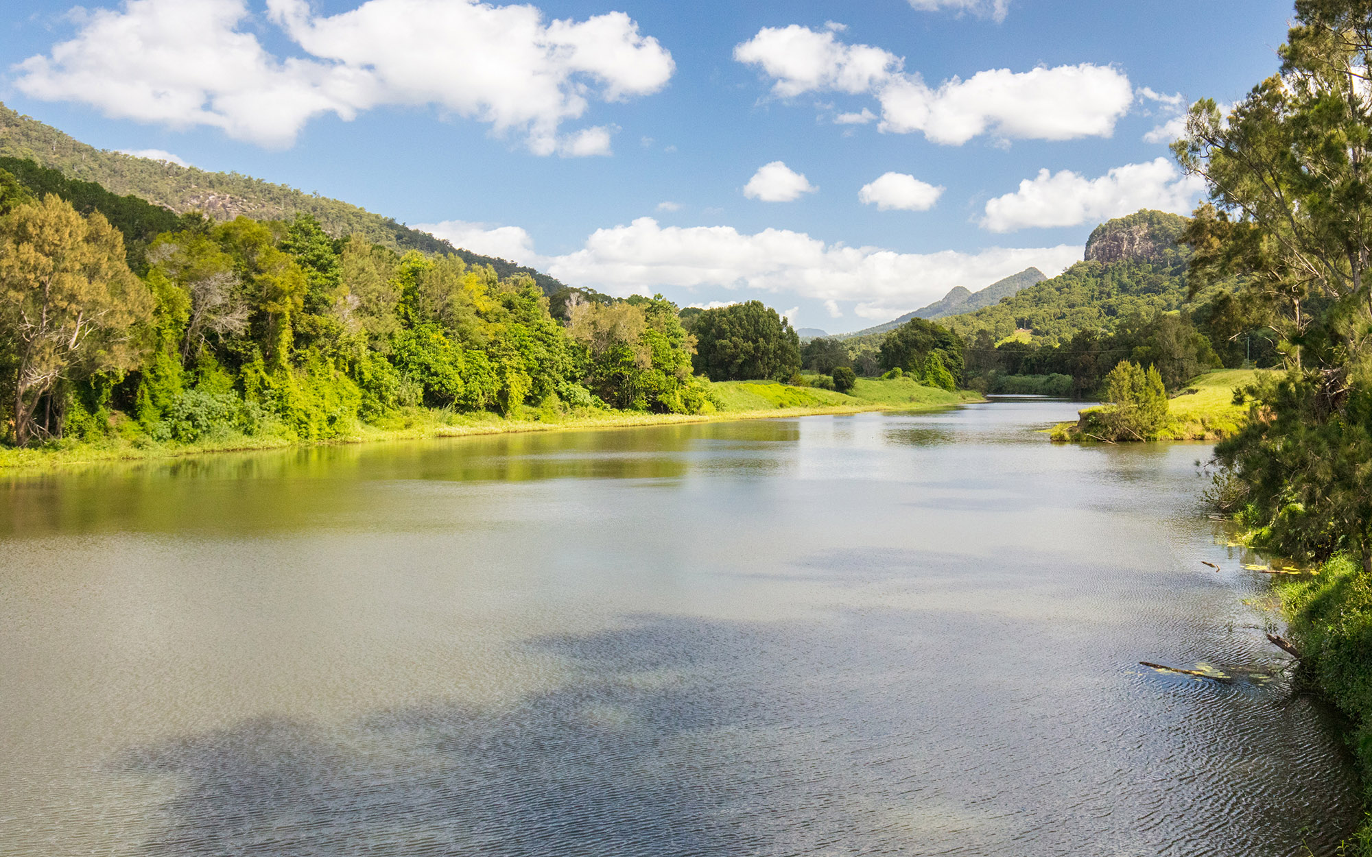
The Far North Coast region of NSW stretches from north of Coffs Harbour to the Queensland border, covering an area of 10,000km2 including over 280km of coastline.

The region is located within the traditional lands of the Bundjalung Aboriginal Nation.

The water sharing plans that apply to the surface water and groundwater resources of the Far North Coast region are listed below.

View all plans

Water Sharing Plan (WSP) Supporting documentation Commence date Cease date Prior Water Sharing Plan and status
Brunswick Unregulated and Alluvial Water Sources 2016
  • Status: In force

Brunswick Unregulated and Alluvial Water Sources 2016 – Plan map (WSP036_V2)

Brunswick Unregulated and Alluvial Water Sources 2016 – GDE map (GDE007_V1)

Rule summary sheets

Background document 2016

Summary of changes fact sheet (July 2023)

Compliance with water management principles (July 2023)
July, 2016 June, 2026 This plan has been amended since it commenced. See the NSW legislation site for details.
Richmond River Area Unregulated, Regulated and Alluvial Water Sources 2023
  • Status: In force

Flooding interrupted public consultation for the 2023 plan replacement. Further consultation on changes to rules in affected areas will occur by 2028.

Richmond River Area Unregulated, Regulated and Alluvial Water Sources 2023 – Plan map (WSP008_V3)

Richmond River Area Unregulated, Regulated and Alluvial Water Sources 2023 – GDE map (GDE036_V1) 

Background document

Changes to the Richmond Water Sharing Plan fact sheet

Compliance with water management principles fact sheet

Status of NRC Review Recommendations fact sheet

Outcomes of public exhibition

July, 2023 June, 2033 Richmond River Area Unregulated, Regulated and Alluvial Water Sources 2010
Tweed River Area Unregulated and Alluvial Water Sources 2023
  • Status: In force

Tweed River Area Unregulated and Alluvial Water Sources 2023 – Plan map (WSP007_V2)

Tweed River Area Unregulated and Alluvial Water Sources 2023 – GDE map (GDE033_V1)

Rule summary sheets

Background document
 
Changes to the Tweed Water Sharing Plan fact sheet

Compliance with water management principles fact sheet

Status of NRC Review Recommendations fact sheet

Outcomes of public exhibition

July, 2023 June, 2033 Tweed River Area Unregulated and Alluvial Water Sources 2010
North Coast Coastal Sands Groundwater Sources 2016
  • Status: In force

North Coast Coastal Sands Groundwater Sources 2016 – Plan map (WSP034_V3)

North Coast Coastal Sands Groundwater Sources 2016 – GDE map (GDE003_V2)

Rule summary sheets

Background document 2016

Compliance with water management principles (July 2022)

Summary of changes fact sheet (July 2023)

Compliance with water management principles (July 2023)

July, 2016 June, 2026 This plan has been amended since it commenced. See the NSW legislation site for details.
North Coast Fractured and Porous Rock Groundwater Sources 2016
  • Status: In force

North Coast Fractured and Porous Rock Groundwater Sources 2016 – Plan map (WSP033 V1)

North Coast Fractured and Porous Rock Groundwater Sources 2016 – GDE map (GDE002_V1)

Rule summary sheets

Background document 2016
July, 2016 June, 2026 N/A