A NSW Government website

Water sharing plan status

Gwydir region

Information about water sharing plans for the Gwydir region.

Gwydir River in Narrabri shire around Moree town, New South Wales.

About the region

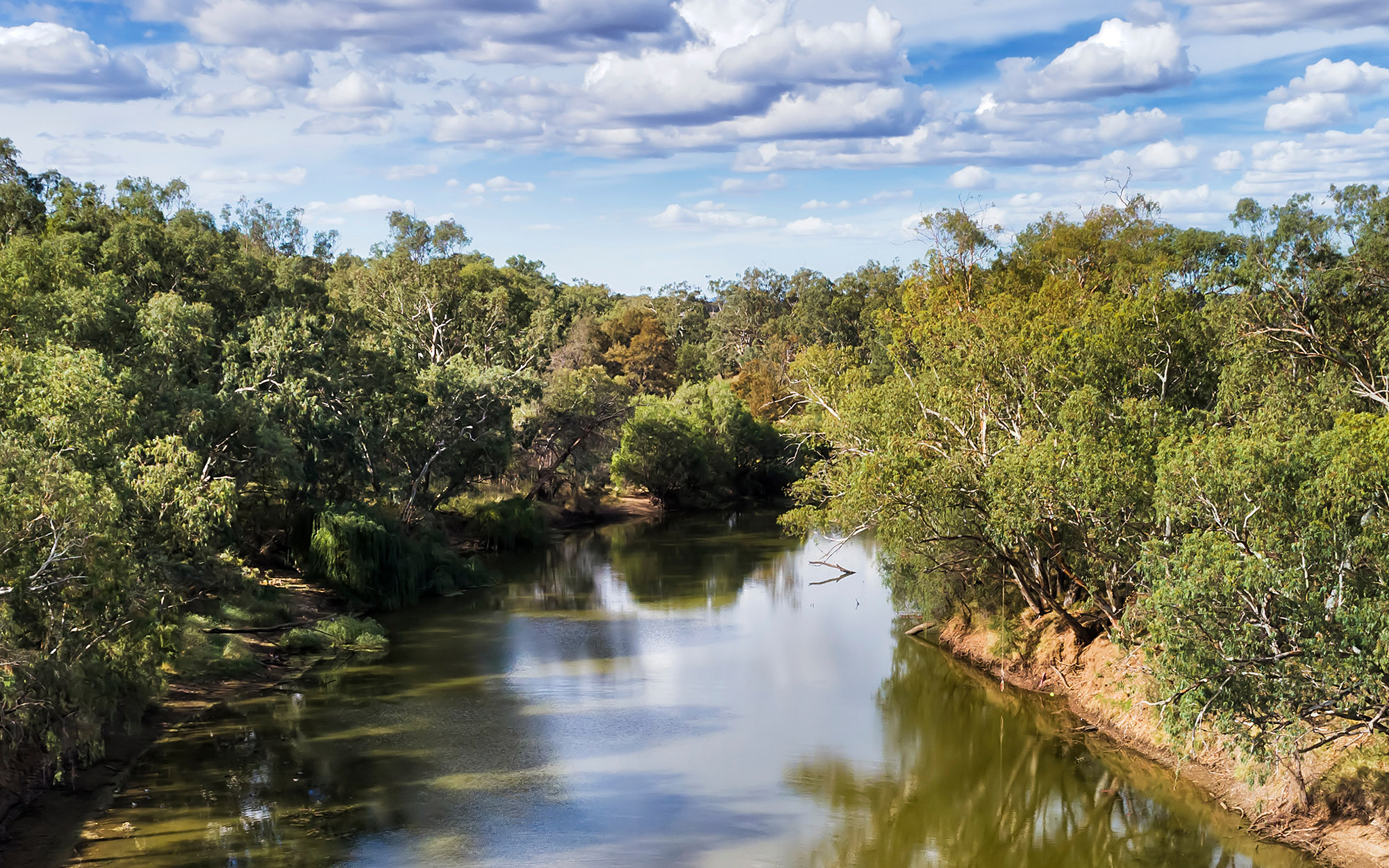
The Gwydir region is located in northern NSW, bounded by the Border Rivers region to the north, the western slopes of the Great Dividing Range to the east, the Namoi catchment to the south and the Barwon River to the west. It covers area of more than 26,000 km2.

The region is the traditional lands of the Gomeroi/Kamilaroi Nation.

The water sharing plans that apply to the surface water and groundwater resources of the Gwydir region are listed below.

View all plans

Water Sharing Plan (WSP) Supporting documentation Commence date Cease date Prior Water Sharing Plan and status
Gwydir Alluvial Groundwater Sources 2020
  • Status: In force

Gwydir Alluvial Groundwater Sources 2020 – Plan map (WSP047_V1)

Gwydir Alluvial Groundwater Sources 2020 – GDE map (GDE015_V1)

Rule summary sheets July, 2020 June, 2030 Lower Gwydir Groundwater Source 2019
  • Status: Replaced
  • Archived background document: N/A

Gwydir Unregulated and Alluvial Water Sources 2012

Gwydir Regulated River Water Sources 2016
  • Status: In force (amended)
Changes to the Gwydir Regulated Water Sharing Plan fact sheet (July 2022)

Compliance with water management principles (July 2022)

Summary of floodplain harvesting rules (July 2022)

July, 2016 June, 2026 This plan has been amended since it commenced. See the NSW legislation site for details.
Gwydir Unregulated River Water Sources 2012
  • Status: In force (with two year extension)

Gwydir Unregulated River Water Sources 2012 – Plan map (WSP019_V4)

Rule summary sheets

Background Document (2010)

Changes to the Gwydir Unregulated Water Sharing Plan fact sheet (July 2022)

Compliance with water management principles (July 2022)

Summary of floodplain harvesting rules (July 2022)
August, 2012 June, 2025 This plan has been amended since it commenced. See the NSW legislation site for details.

Gwydir Unregulated and Alluvial Water Sources 2012
NSW Murray–Darling Basin Fractured Rock Groundwater Sources 2020
  • Status: In force

Murray Darling Basin Fractured Rock Groundwater Sources 2020 – Plan map (WSP012_V3)

Murray Darling Basin Fractured Rock Groundwater Sources 2020 – GDE map (GDE024_V3)

Rule summary sheets

Compliance with Water Management Principles (December 2021)

Compliance with Water Management Principles (May 2022)

July, 2020 June, 2030 This plan has been amended since it commenced. See the NSW legislation site for details.

NSW Murray–Darling Basin Fractured Rock Groundwater Sources 2011
NSW Murray–Darling Basin Porous Rock Groundwater Sources 2020
  • Status: In force

Murray Darling Basin Porous Rock Groundwater Sources 2020 – Plan map (WSP013_V2)

Murray Darling Basin Porous Rock Groundwater Sources 2020 – GDE map (GDE023_V1)

Rule summary sheets July, 2020 June, 2030 NSW Murray–Darling Basin Porous Rock Groundwater Sources 2011
NSW Great Artesian Basin Shallow Groundwater Sources 2020
  • Status: In force

NSW Great Artesian Basin Shallow Groundwater Sources 2020 – Plan map (WSP014_V3)

NSW Great Artesian Basin Shallow Groundwater Sources 2020 – GDE map (GDE022_V1)

Rule summary sheets July, 2020 June, 2030 NSW Great Artesian Basin Shallow Groundwater Sources 2011
NSW Great Artesian Basin Groundwater Sources 2020
  • Status: In force

NSW Great Artesian Basin Groundwater Sources 2020 – Plan map (WSP040_V2)

NSW Great Artesian Basin Groundwater Sources 2020 – GDE map (GDE025_V1)

Rule summary sheets

Background document (2020)
July, 2020 June, 2030 NSW Great Artesian Basin Groundwater Sources 2008