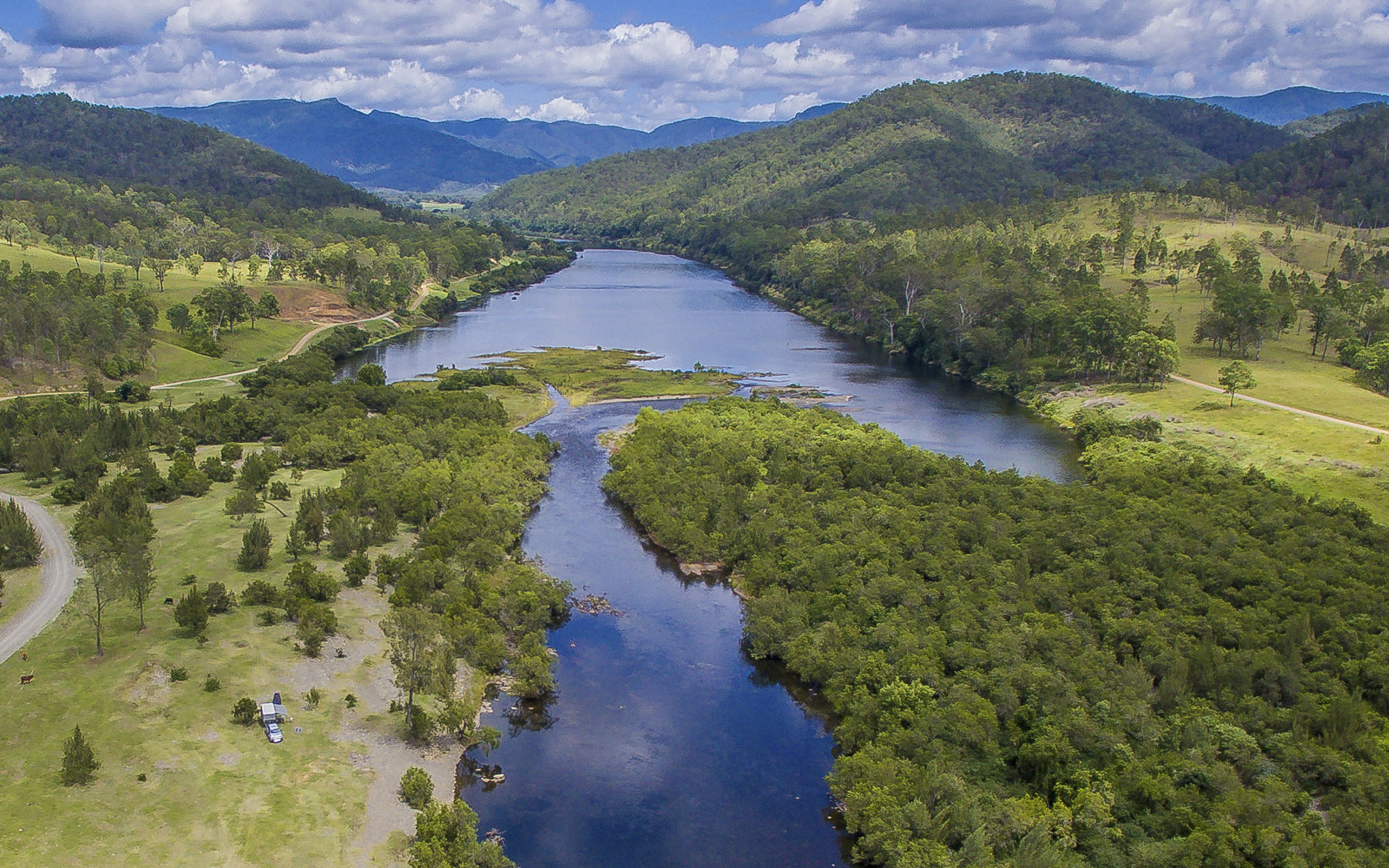
A NSW Government website

Water sharing plan status

North Coast region

Information about water sharing plans for the North Coast region.

Scenic country views of the Mann River near Cangai, New South Wales.

About the region

The North Coast region of NSW is nestled between the Central Coast and Far North Coast regions. It covers an area greater than 17,000km2.

The region is located within the traditional lands of the Birpai, Dunghutti, Gumbaynggirr and Nganyaywana Nations.

The water sharing plans that apply to the surface water and groundwater resources of the North Coast region are listed below.

View all plans

Water Sharing Plan (WSP) Supporting documentation Commence date Cease date Prior Water Sharing Plan and status
Bellinger River Area Unregulated and Alluvial Water Sources 2020
  • Status: In force

Bellinger River Area Unregulated and Alluvial Water Sources 2020 – Plan map (WSP002_V2)

Bellinger River Area Unregulated and Alluvial Water Sources 2020 – Plan map (GDE026_V1)

Rule summary sheets

Background document 2020

Outcomes of public exhibition fact sheet

Summary of changes fact sheet (July 2023)

Compliance with water management principles (July 2023) 
July, 2020 June, 2030 This plan has been amended since it commenced. See the NSW Legislation site for details.

Bellinger River Area Unregulated and Alluvial Water Sources 2008
Clarence River Unregulated and Alluvial Water Sources 2016
  • Status: In force

Clarence River Unregulated and Alluvial Water Sources 2016 – Plan map (WSP039_V2)

Clarence River Unregulated and Alluvial Water Sources 2016 – GDE map (GDE08_V1)

Rule summary sheets

Background document 2016

Summary of changes fact sheet (July 2023)

Compliance with water management principles (July 2023)
July, 2016 June, 2026 This plan has been amended since it commenced. See the NSW Legislation site for details.
Coffs Harbour Area Unregulated and Alluvial Water Sources 2022
  • Status: In force

Coffs Harbour Area Unregulated and Alluvial Water Sources 2022 – Plan Map (WSP004_V2)

Coffs Harbour Area Unregulated and Alluvial Water Sources 2022 – GDE Map (GDE030_V1)

Summary of changes to the Coffs Harbour Water Sharing Plan fact sheet (July 2022)

Compliance with water management principles fact sheet (July 2022)

Status of NRC Review Recommendations fact sheet (July 2022)

Outcomes of public exhibition
July, 2022 June, 2032 Coffs Harbour Area Unregulated and Alluvial Water Sources 2009
Hastings Unregulated and Alluvial Water Sources 2019
  • Status: In force

Hastings Unregulated and Alluvial Water Sources 2019 – Plan map (WSP038_V2)

Hastings Unregulated and Alluvial Water Sources 2019 – GDE map (GDE011_V1)

Rule summary sheets

Background document 2019

Summary of changes fact sheet (July 2023)

Compliance with water management principles (July 2023)
July, 2019 June, 2029 This plan has been amended since it commenced. See the NSW Legislation site for details.
Lower North Coast Unregulated and Alluvial Water Sources 2022
  • Status: In force

Lower North Coast Unregulated and Alluvial Water Source 2022 – Plan Map (WSP001_V3)

Lower North Coast Unregulated and Alluvial Water Source 2022 – GDE Map (GDE027_V1)

Summary of changes to the Lower North Coast Water Sharing Plan fact sheet (July 2022)

Compliance with water management principles fact sheet (July 2022)

Status of NRC Review Recommendations fact sheet (July 2022)

Outcomes of public exhibition
July, 2022 June, 2032 Lower North Coast Unregulated and Alluvial Water Sources 2009
Macleay Unregulated and Alluvial Water Sources 2016
  • Status: In force

Macleay Unregulated and Alluvial Water Sources 2016 – Plan Map (WSP031_V2)

Rule summary sheets

Background document 2016

Summary of changes fact sheet (July 2023)

Compliance with water management principles (July 2023)
July, 2016 June, 2026 This plan has been amended since it commenced. See the NSW Legislation site for details.
Nambucca Unregulated and Alluvial Water Sources 2016
  • Status: In force

Nambucca Unregulated and Alluvial Water Sources 2016 – Plan map (WSP037_V2)

Nambucca Unregulated and Alluvial Water Sources 2016 – GDE map (GDE006_V1)

Rule summary sheets

Background document 2016

Summary of changes fact sheet (July 2023) 

Compliance with water management principles (July 2023)
September, 2016 June, 2027 This plan has been amended since it commenced. See the NSW Legislation site for details.
North Coast Coastal Sands Groundwater Sources 2016
  • Status: In force

North Coast Coastal Sands Groundwater Sources 2016 – Plan map (WSP034_V3)

North Coast Coastal Sands Groundwater Sources 2016 – GDE map (GDE003_V2)

Rule summary sheets

Background document 2016

Compliance with water management principles (July 2022)

Summary of changes fact sheet (July 2023)

Compliance with water management principles (July 2023)

July, 2016 June, 2026 This plan has been amended since it commenced. See the NSW Legislation site for details.
North Coast Fractured and Porous Rock Groundwater Sources 2016
  • Status: In force

North Coast Fractured and Porous Rock Groundwater Sources 2016 – Plan map (WSP033_V1)

North Coast Fractured and Porous Rock Groundwater Sources 2016 – GDE map (GDE002_V1)

Rule summary sheets

Background document 2016
July, 2016 June, 2026 N/A