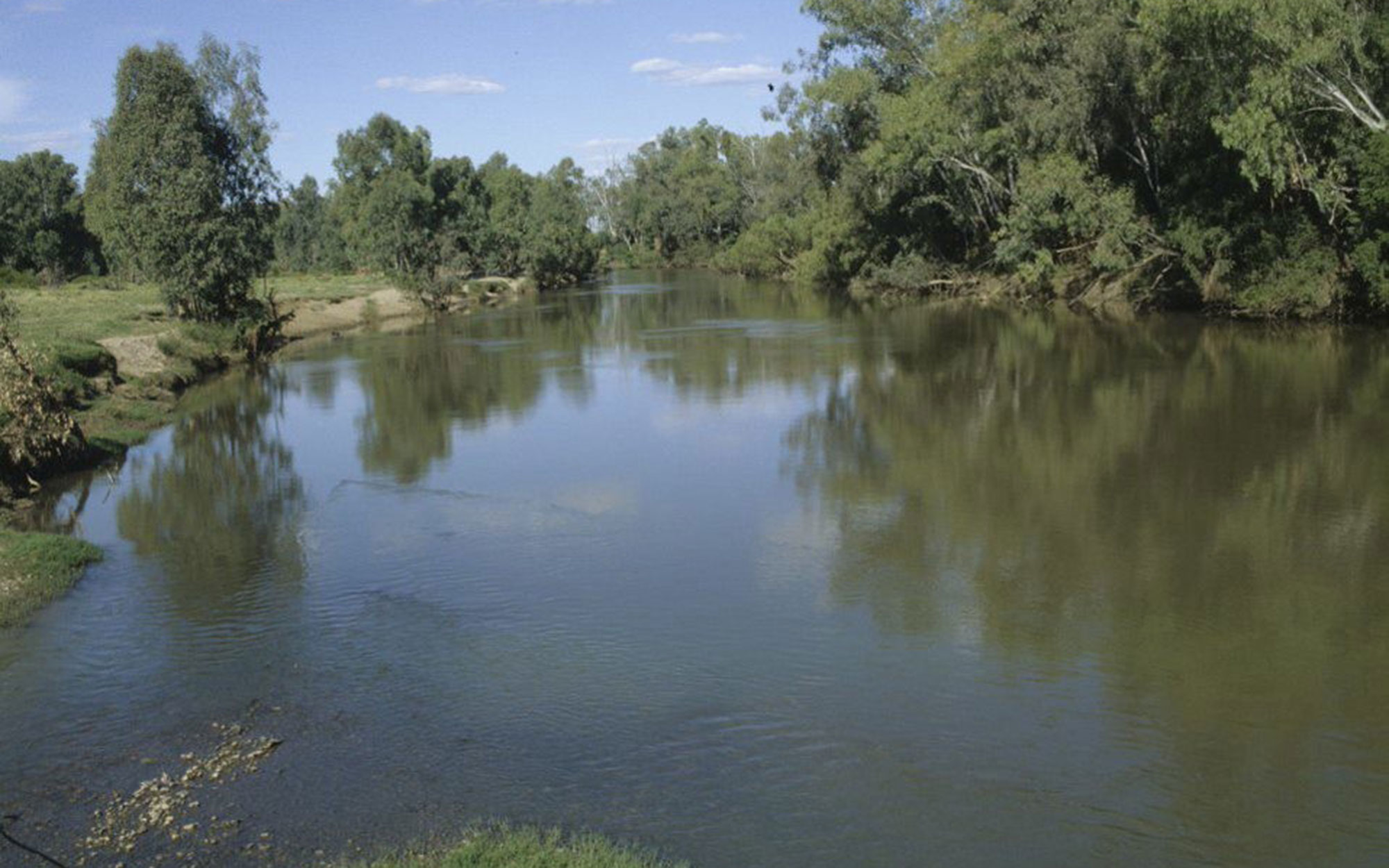
About surface water modelling
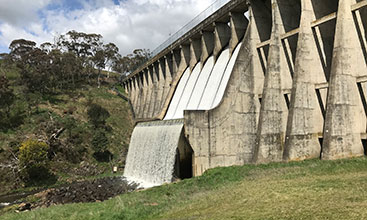
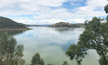
The New South Wales government is responsible for water security in the state. We must manage water sustainably to ensure it meets the needs of the community, industry and the environment.
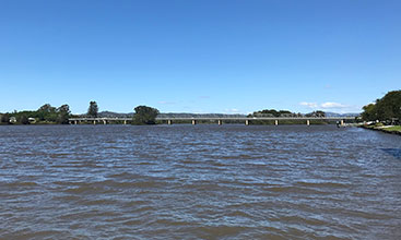
We model water systems (in particular, our major river systems) to:
- simulate the volume of water they contain
- inform water management policy, strategy and planning decisions.
Models can be used for many things, and there are many kinds of models.
We build and use hydrologic planning models.
Learn about how we use models and how reliable they are, and find out how we engage with specialists and communities of practice.
Determining the model need, defining design criteria and developing a concept and scope all form part of our model planning.
Spatial, temporal and storage are the three main types of data we use to build the model.
To build a model we assemble data components into a representation of the river system and its relationships, in line with the model scope.
We adjust parameters to ensure the model compares with observed data and update the model as technology advances.
We aim to present results clearly and accurately and explain our modelling choices.