About the Border Rivers catchment
The Border Rivers catchment is made up of the catchments of the Dumaresq, Severn and Macintyre rivers in far north NSW.
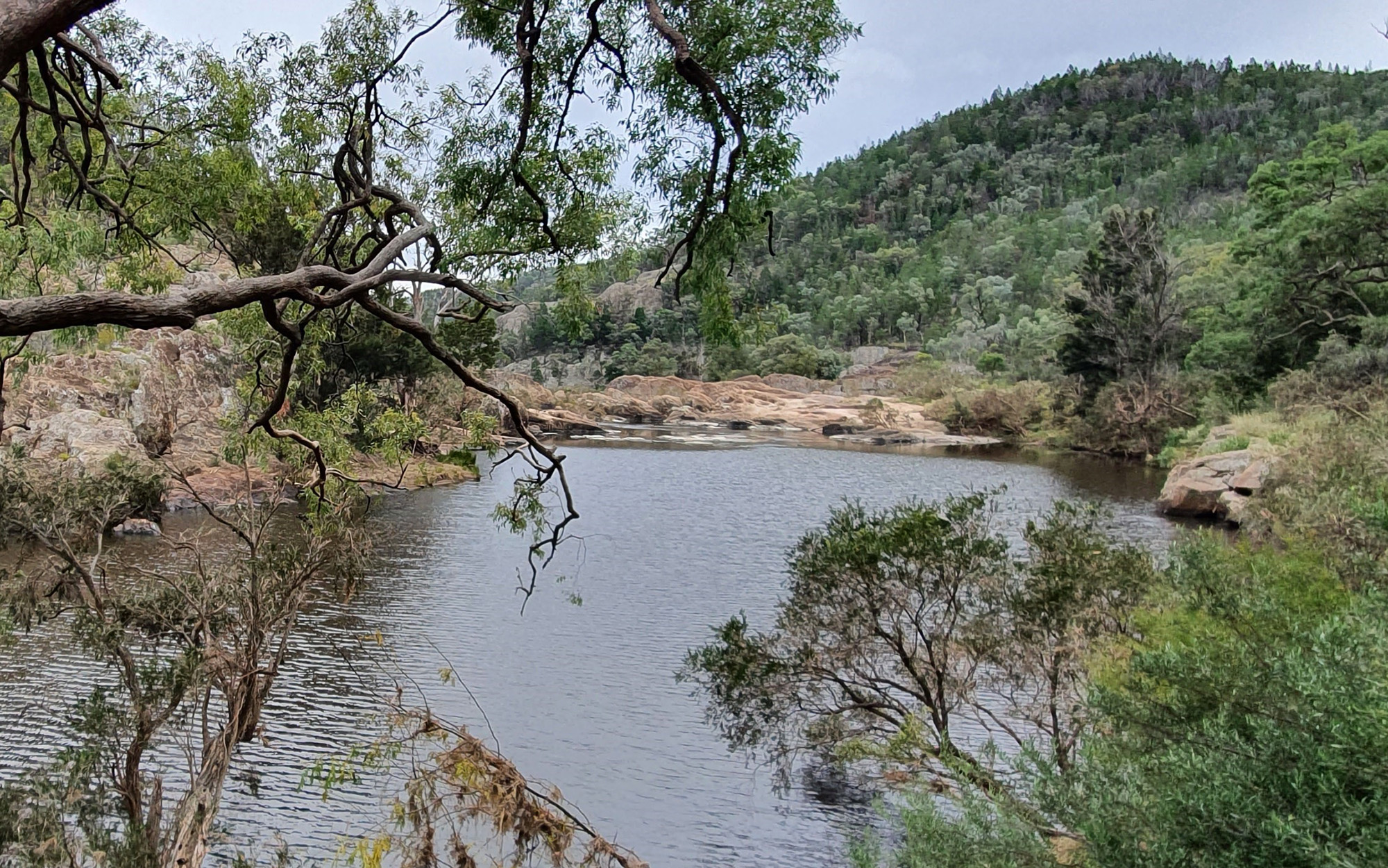
The Dumaresq and Macintyre rivers form the border between NSW and Queensland for about 470 kilometres. They form the northern-most part of the Murray-Darling Basin in NSW.
Rivers and tributaries
The Border Rivers are part of the Murray-Darling Basin. The major river systems of the Border Rivers in NSW are the Dumaresq, Severn, Macintyre and Mole rivers.
The western half of the catchment is made up of flat alluvial plains drained by intermittent watercourses, mainly Croppa, Whalan and Gil Gil creeks. At the lower western end of the catchment, the Macintyre River has a complex series of anabranching channels. These are sections of the river that break away from the main river channel and rejoin it downstream.
The Weir River in Queensland is the Macintyre River's largest tributary. It flows into the Macintyre River around 25 kilometres upstream of Mungindi, where it forms the start of the Barwon River.
Water storages
The major water storage in the NSW portion of the catchment is Pindari Dam, on the Severn River. It has a full storage capacity of 312,000 megalitres.
The dam supplies water for irrigation, stock and domestic, town water supply, and industrial purposes along the Severn and Macintyre Rivers upstream of the Dumaresq River junction.
There are 2 major storages in Queensland: Glenlyon Dam on Pike Creek stores 261,000 megalitres for irrigation along the Dumaresq River, and Coolmunda Dam on Macintyre Brook stores 69,000 megalitres for irrigation and town water supply.
Towns
In NSW the catchment's major urban centres are Glen Innes, Inverell, and Tenterfield, all located within the upper catchment.
Goondiwindi, on the northern bank of the Macintyre River in Queensland, is the major town in the middle of the catchment, along with the smaller town of Boggabilla in NSW. The town of Mungindi lies on the Barwon River at the lower end of the catchment.
Water users
The Border Rivers catchment supports a variety of water users including local councils and water utilities, dryland agriculture, irrigated cropping, livestock grazing and forestry. Dryland crops include winter cereals, summer grains, and oilseeds, while irrigated crops include cotton, fruit, vegetables, wine grapes and lucerne.
Morella Lagoon, Pungbougal Lagoon and Boobera Lagoon are part of a remnant channel of the Macintyre River south of Goondiwindi. This wetland complex is listed as a site of national importance in the Directory of Important Wetlands in Australia.
Boobera Lagoon has significant Aboriginal heritage value, particularly to the Bigambul and Kamilaroi/Gomeroi people.
The water resources of the Border Rivers are shared between NSW and Queensland under the New South Wales-Queensland Border Rivers Intergovernmental Agreement of 2008. Sharing water fairly between the states, and between users, is a key challenge in this area. These are managed through the intergovernmental agreement, and state-based water sharing plans.
Managing floodwater is particularly challenging, because the rights of water users on both sides of the state border must be balanced with the needs of the environment. Floodwaters fulfil an important ecological function as they spill out across the floodplain, replenishing the landscape and triggering flora and fauna life cycles, such as bird and fish breeding in wetlands.
Weirs and dams on the river alter the natural flow regime, and contribute to water quality problems including salinity. Erosion from land clearing also affects riverine health.