Learn about catchments in NSW
The department manages groundwater and surface water resources in various basins and catchments throughout the state.
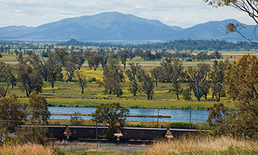
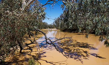
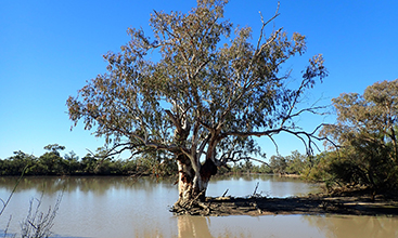
Barwon-Darling
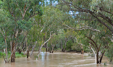
The Barwon-Darling is an unregulated river system which stretches from the Queensland border to the Darling River.
Bega
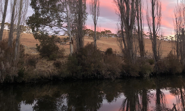
The Bega catchment lies on the NSW far south coast.
Bellinger
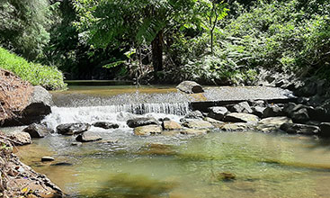
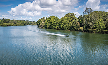
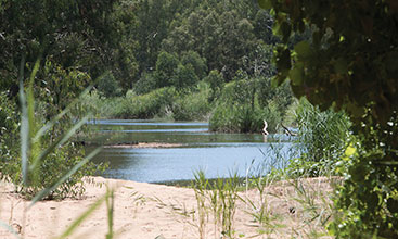
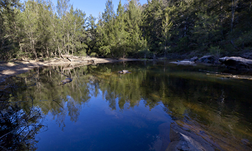
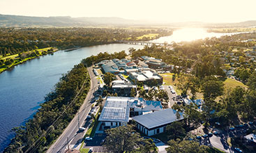
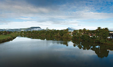
The Bellinger catchment is on the mid-north coast, and is renowned for its natural beauty.
Benanee
The Benanee catchment borders the Murray and Murrumbidgee river basins.
Border Rivers
The Border Rivers catchment lies along the boundary of NSW and Queensland, and contains the Dumaresq, Severn and Macintyre rivers.
Brunswick
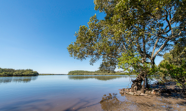
The Brunswick catchment is made up of a series of small coastal catchments and contains significant wetland areas.
Castlereagh
The Castlereagh is an unregulated river catchment in central-western NSW.
Clarence
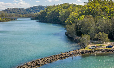
The Clarence catchment is situated around the city of Grafton on the far north NSW coast.
Clyde
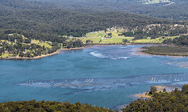
The Clyde catchment is on the NSW south coast, between the Moruya and Shoalhaven catchments.
Condamine-Culgoa
The Condamine-Culgoa catchment is on the NSW-Queensland border.
East Gippsland
The East Gippsland catchment is largely within north-east Victoria, with a small proportion on the NSW far south coast.
Georges River
The Georges River catchment contains most of Sydney and the Heathcote and Dharawal national parks.
Gwydir
The Gwydir catchment is in north-eastern NSW. It is surrounded by the Mastermans, Nandewar and Great Dividing ranges.
Hastings
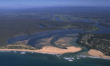
The Hastings catchment is on the NSW mid-north coast between the Manning and Macleay catchments.
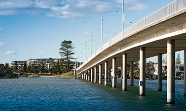
Hawkesbury-Nepean
The Hawkesbury-Nepean catchment is one of the largest coastal basins in NSW.
Hunter
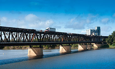
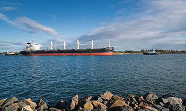
The Hunter catchment is on the NSW coast, north of Sydney. It contains the state’s second largest city, Newcastle.
Karuah
Karuah is an unregulated coastal river catchment directly north of the Hunter catchment.
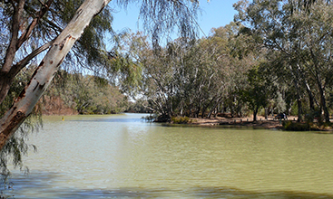
Lachlan
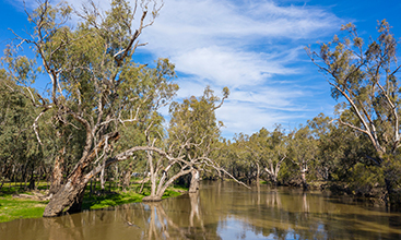
The Lachlan is one of the largest catchments in NSW. It borders on the Murrumbidgee and Darling catchments.
Lake George
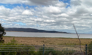
Lake George is a small, internally draining catchment. The lake dries up during dry periods.
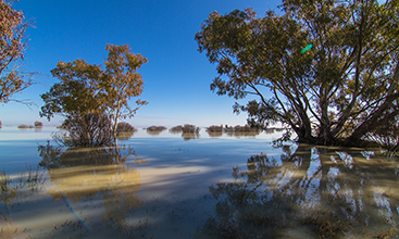
Lower Darling
The Lower Darling catchment is the portion of the catchment below the Menindee Lakes.
Macquarie-Bogan
The Macquarie-Bogan is a large catchment with large changes in elevation from north to south.
Macquarie Tuggerah
The Macquarie Tuggerah is a small catchment on the NSW Central Coast.
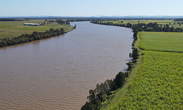
Manning
The Manning is a highly fertile catchment on the NSW mid-north coast.
Mooni
The Mooni catchment lies predominantly in Queensland, with a small portion in NSW.
Moruya
The Moruya catchment lies on the NSW south coast.
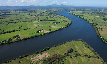
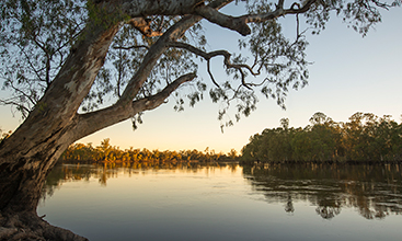
Murray Riverina
The Murray Riverina is the regulated portion of the Murray River in NSW.
Murrumbidgee
The Murrumbidgee is a large catchment in southern NSW.
Namoi
The Namoi lies in north-western NSW, and includes the urban centre of Tamworth.
North-western NSW
The Barwon-Darling is an unregulated river system which stretches from the Queensland border to the Darling River.
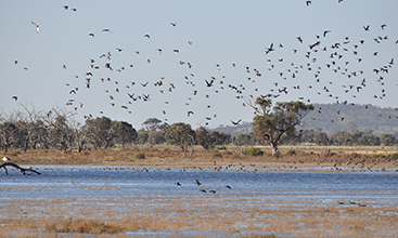
Paroo
The Paroo catchment has minimal water extraction, and is an important area for water birds.
Richmond
The Richmond catchment extends from the NSW-Queensland border to the ocean at Ballina.
Shoalhaven
The Shoalhaven is a smaller catchment which transfers water to Sydney through the Shoalhaven Scheme.
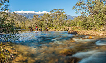
Snowy
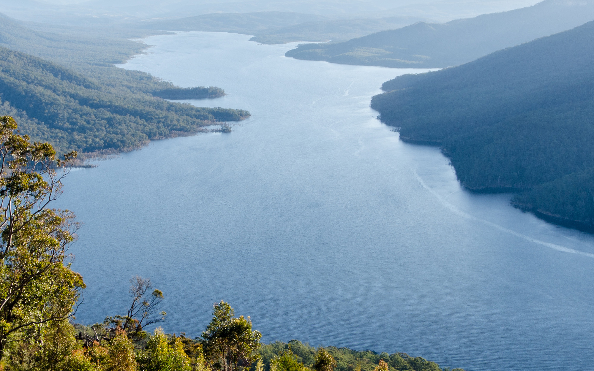
The Snowy catchment is home to the Snowy Hydro-electric Scheme and the Snowy Mountains.
Towamba
Towamba is a small catchment on the far south coast of NSW.
Tuross
The Tuross is a smaller catchment on the NSW south coast.
Tweed
The Tweed catchment is on the far north NSW coast around the Tweed River.
Upper Murray
The Upper Murray catchment is a major contributor to water flows in the Murray River.
Warrego
The Warrego is an important catchment for waterbirds in the Murray-Darling Basin.
Wollongong
Wollongong is a narrow coastal catchment south of Sydney.