About the Namoi
The Namoi lies in north-western NSW, and includes the urban centre of Tamworth.
Located in north-western NSW, the Namoi catchment borders the Gwydir and Castlereagh catchments. It is bound by the Great Dividing Range in the east, the Liverpool Ranges and Warrumbungle Ranges in the south, and the Nandewar Ranges and Mount Kaputar to the north.
Within the catchment, the Namoi River extends over 350 kilometres, stretching from Bendemeer in the east to Walgett on the western boundary.
The catchment has an area of about 42,000 square kilometres. It includes the catchment of the major tributary the Peel River, which has an area of around 4,700 square kilometres.
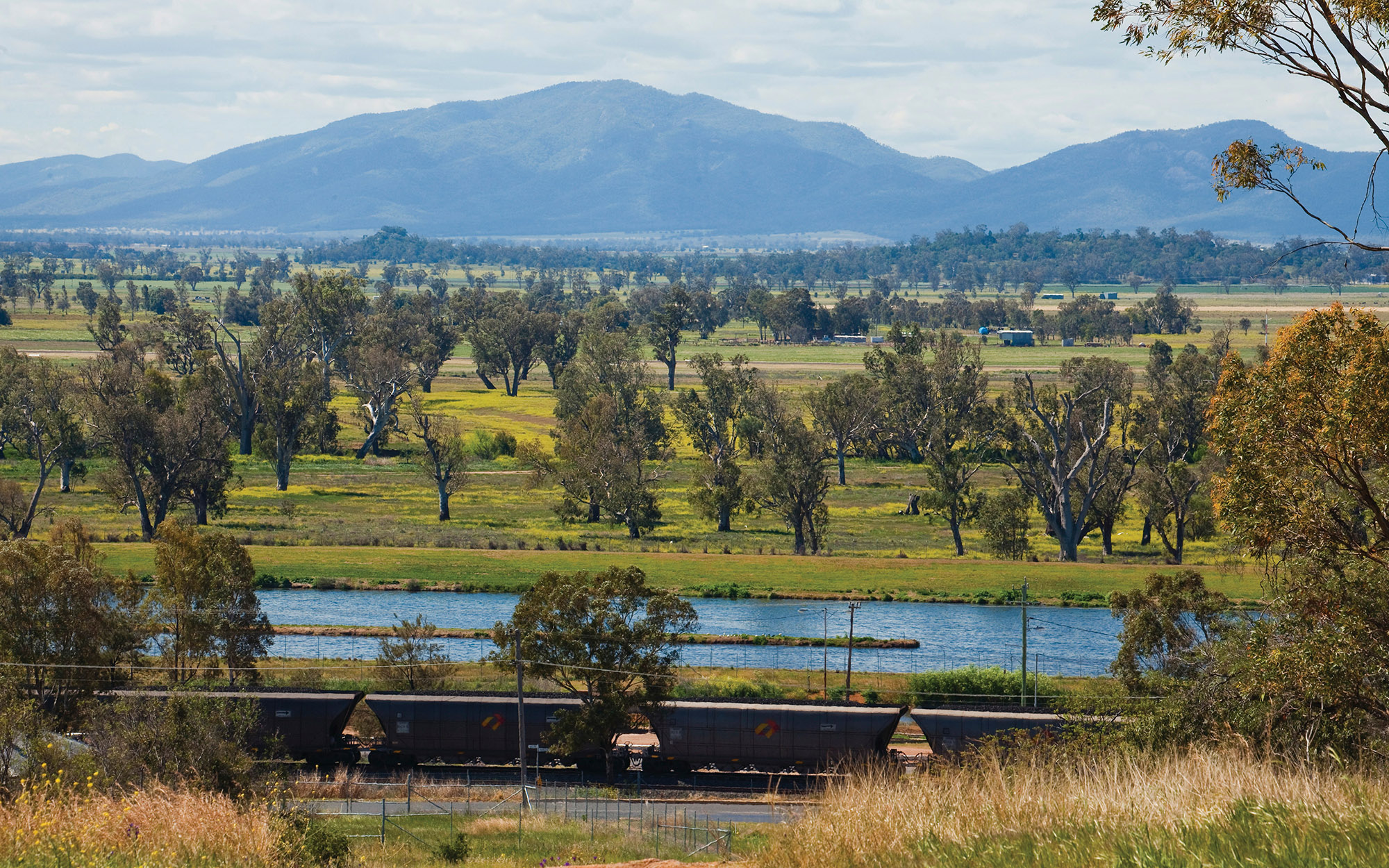
Elevations in the Namoi range from over 1,500 metres to the south and east, to just 100 metres on the alluvial floodplain of the lower catchment, west of Narrabri.
Tamworth, on the Peel River, is the largest urban centre within the catchment. There are smaller towns, Gunnedah and Narrabri, on the Namoi River.
There are several smaller towns in the catchment, including Barraba, Boggabri, Manilla, Quirindi, Walgett, Wee Waa and Werris Creek.
The Namoi River rises in rugged ranges near Tamworth, forming a complex pattern of creeks and streams before joining the Barwon River at Walgett.
The main tributaries are the Manilla and Peel rivers, which join the Namoi upstream of Boggabri, and Coxs, Pian, Narrabri, Baradine and Bohena creeks which join below Boggabri. Major tributaries of the Peel River are Goonoo Goonoo Creek, Cockburn River, and Dungowan Creek.
The Namoi River has developed an extensive floodplain, with around a quarter of the basin prone to flooding.
Keepit Dam, with a capacity of 426,000 megalitres, is the major irrigation storage for the Namoi catchment. It is located around 25 kilometres northwest of Tamworth.
Split Rock Dam, to the east of Upper Manilla and Red Hill, has a capacity of 397,000 megalitres. It augments the supply from Keepit Dam as well as supplying users along the Manilla River.
Chaffey Dam, with a 62,000 megalitre capacity, regulates the flow of the Peel River and augments water supply to Tamworth. It is located approximately 25 kilometres southeast of Tamworth.
Major water users in the catchment include local councils and water utilities, dryland agriculture, irrigated agriculture, livestock grazing and forestry.
Within the catchment, water releases from the Namoi and Peel River systems are managed independently. The major water users in the Namoi River system are general security irrigators. The 2 main water users in the Peel River system are Tamworth City Council and irrigators.
The Pilliga Scrub is the largest remaining dry sclerophyll forest west of the Great Dividing Range in NSW. Pilliga Nature Reserve and Pilliga State Conservation Area together protect over 1,800 square kilometres of this semi-arid woodland in the catchment.
Downstream of Narrabri there are many small lagoons, wetlands, and anabranches associated with the river, and extensive areas of floodplain woodlands on the floodplain.
Lake Goran is a large internally draining basin that covers more than 60 square kilometres. When flooded, the lake provides habitat for large numbers of waterbirds, and is listed as a wetland of national significance.
Sharing water fairly between competing water users and the environment, within the extraction limits set by the Murray-Darling Basin Plan, is a key water management issue. Water sharing plans address this issue by setting long-term rules on how water can be accessed, used and traded.
The management of floodwaters is an ongoing challenge. Floodwaters play a vital role in sustaining and replenishing the landscape, but are also highly valued by local agricultural users.
Other issues include the alteration of natural river flows through the construction of dams and weirs. Erosion from land clearing affects riverine health and contributes to water quality problems, such as salinity.