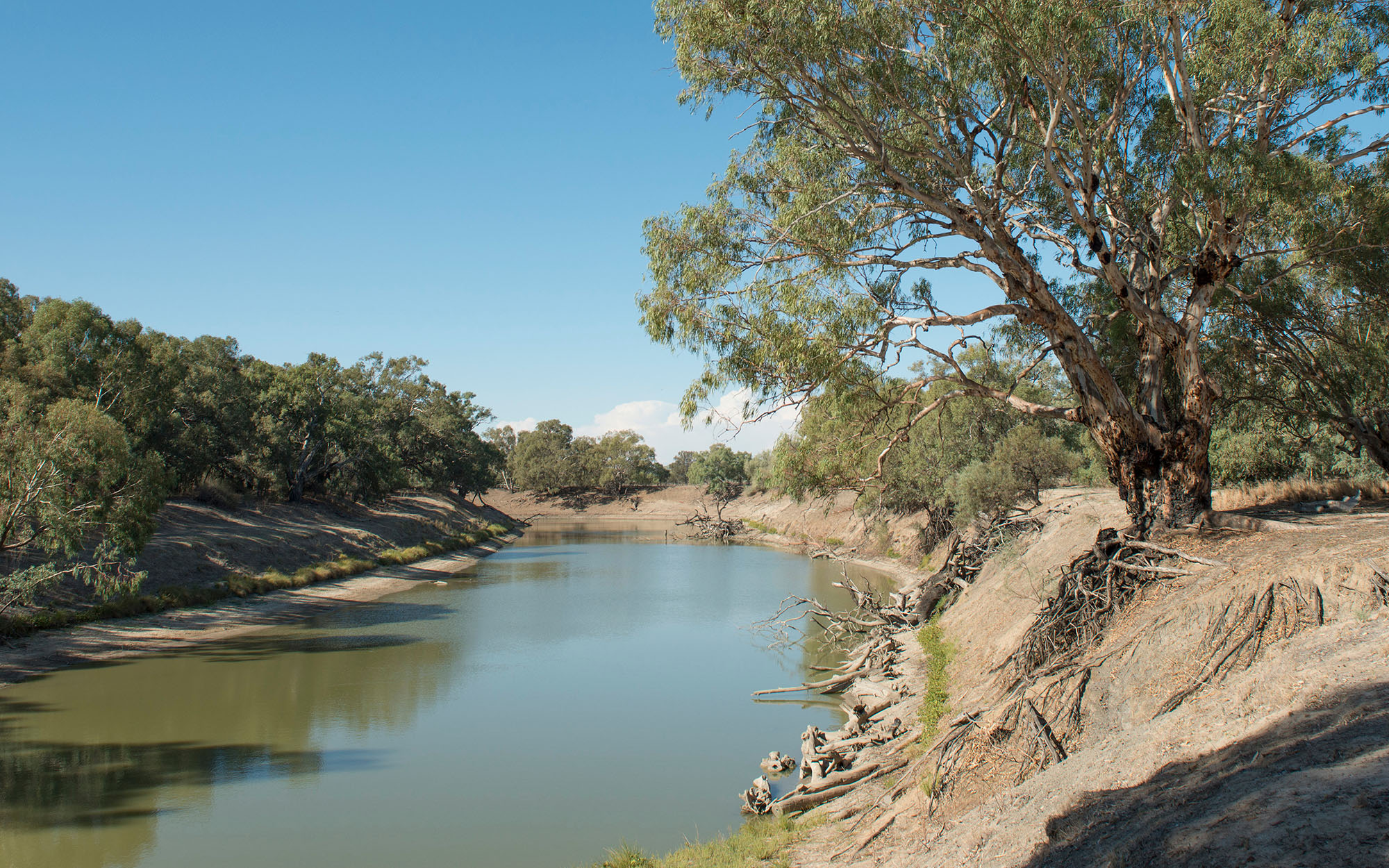
About the region
The Barwon, Darling and West region covers a large area of western NSW. Major tributaries to the Barwon–Darling River system include the Intersecting Streams, Border Rivers, Gwydir, Namoi, Castlereagh, and Macquarie rivers. All enter the Barwon–Darling River upstream of the township of Bourke. Downstream of Bourke and further west, the Paroo and Warrego rivers contribute intermittent flows but can provide significant volumes during flood events, raising the duration of high flow events in the Barwon–Darling River.
The water sharing plans that apply to the surface water and groundwater resources of the Barwon, Darling and West region are listed below.
The region is located within the traditional lands of the Barkandji, Barapa Barapa Budjiti, Euahlayi, Gomeroi/Kamilaroi, Guwamu/Kooma Kunja, Maljangapa, Maraura, Murrawarri, Muthi Muthi, Ngemba, Ngiyampaa, Tati Tati, Wadi Wadi, Weki Weki, Wemba Wemba, Wiradjuri and Yorta Yorta Nations.
Barwon–Darling Unregulated River Water Source 2012
Status: In force (with two year extension)
Commencement date: October 2012
Cease date: June 2025
Read: Barwon–Darling Unregulated River Water Source 2012
This plan has been amended since it commenced. See the NSW legislation site for details.
Darling Alluvial Groundwater Sources 2020
Status: In force
Commencement date: July 2020
Cease date: June 2030
Read: Darling Alluvial Groundwater Sources 2020
This plan has been amended since it commenced. See the NSW legislation site for details.
| Maps | Supporting documentation | Prior water sharing plan status |
|---|---|---|
|
Intersecting Streams Unregulated River Water Sources 2024
Status: In force
Commencement date: July 2024
Cease date: June 2034
Read: Intersecting Streams Unregulated River Water Sources 2024
| Maps | Supporting documentation | Prior water sharing plan status |
|---|---|---|
Lower Murray-Darling Unregulated River Water Source 2024
Status: In force
Commencement date: July 2024
Cease date: June 2034
Read: Lower Murray-Darling Unregulated River Water Source 2024
| Maps | Supporting documentation | Prior water sharing plan status |
|---|---|---|
North Western Unregulated and Fractured Rock Water Sources 2024
Status: In force
Commencement date: July 2024
Cease date: June 2034
Read: North Western Unregulated and Fractured Rock Water Sources 2024
NSW Great Artesian Basin Groundwater Sources 2020
Status: In force
Commencement date: July 2020
Cease date: June 2030
Read: NSW Great Artesian Basin Groundwater Sources 2020
This plan has been amended since it commenced. See the NSW Legislation site for details
| Maps | Supporting documentation | Prior water sharing plan status |
|---|---|---|
NSW Great Artesian Basin Shallow Groundwater Sources 2020
Status: In force
Commencement date: July 2020
Cease date: June 2030
Read: NSW Great Artesian Basin Shallow Groundwater Sources 2020
This plan has been amended since it commenced. See the NSW Legislation site for details
| Maps | Supporting documentation | Prior water sharing plan status |
|---|---|---|
NSW Murray and Lower Darling Regulated Rivers Water Sources 2016
Status: In force
Commencement date: July 2016
Cease date: June 2026
Read: NSW Murray and Lower Darling Regulated Rivers Water Sources 2016
This plan has been amended since it commenced. See the NSW legislation site for details.
| Supporting documentation | Prior water sharing plan status |
|---|---|
|
NSW Murray–Darling Basin Fractured Rock Groundwater Sources 2020
Status: In force
Commencement date: July 2020
Cease date: June 2030
Read: NSW Murray–Darling Basin Fractured Rock Groundwater Sources 2020
This plan has been amended since it commenced. See the NSW legislation site for details.
| Maps | Supporting documentation | Prior water sharing plan status |
|---|---|---|
NSW Murray–Darling Basin Porous Rock Groundwater Sources 2020
Status: In force
Commencement date: July 2020
Cease date: June 2030
Read: NSW Murray–Darling Basin Porous Rock Groundwater Sources 2020
This plan has been amended since it commenced. See the NSW legislation site for details.
| Maps | Supporting documentation | Prior water sharing plan status |
|---|---|---|