About the region
The Central Coast region covers an area of more than 1560km2 and consists of two distinct areas: Tuggerah Lake and its tributaries (Wyong River, Ourimbah Creek and Jilliby Jilliby Creeks) and the Hawkesbury River and its tributaries Mangrove Creek and Mooney Mooney Creek systems.
The water sharing plans that apply to the surface water and groundwater resources of the Central Coast region are listed below.
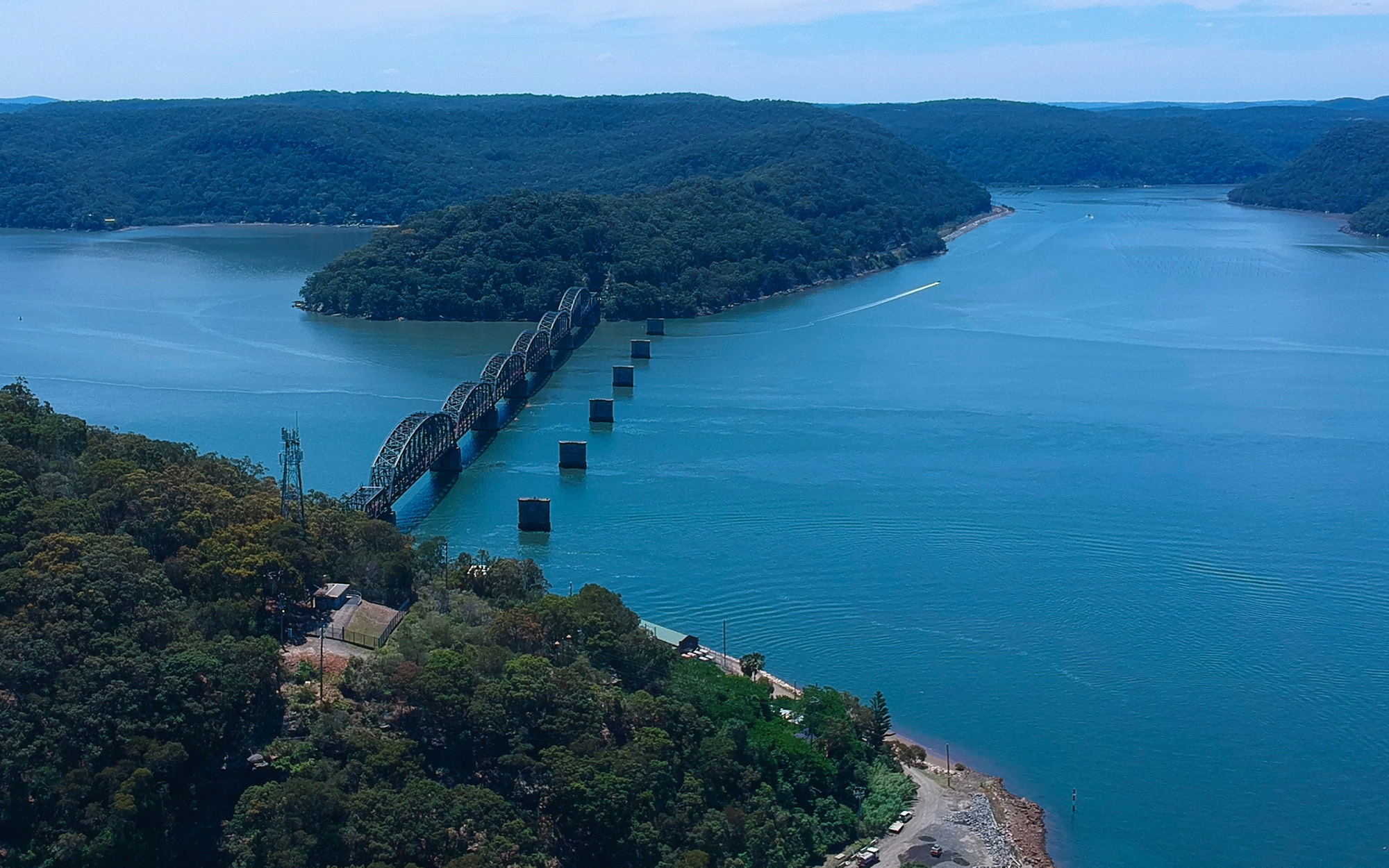
This region is the traditional lands of the Darkinjung people.
Central Coast Unregulated and Alluvial Water Sources 2022
Status: In force
Commencement date: July 2022
Cease date: June 2032
Read: Central Coast Unregulated and Alluvial Water Sources 2022
This plan has been amended since it commenced. See the NSW legislation site for details.
North Coast Coastal Sands Groundwater Sources 2016
Status: In force
Commencement date: July 2016
Cease date: June 2026
Read: North Coast Coastal Sands Groundwater Sources 2016
This plan has been amended since it commenced. See the NSW legislation site for details.
Maps | Supporting documentation | Prior water sharing plan status |
---|---|---|
N/A |
North Coast Fractured and Porous Rock Groundwater Sources 2016
Status: In force
Commencement date: July 2016
Cease date: June 2026
Read: North Coast Fractured and Porous Rock Groundwater Sources 2016
Maps | Supporting documentation | Prior water sharing plan status |
---|---|---|
|