About the Bega catchment
The Bega catchment is located on the far south coast of NSW. Bega has a catchment area of 2,850 square kilometres.
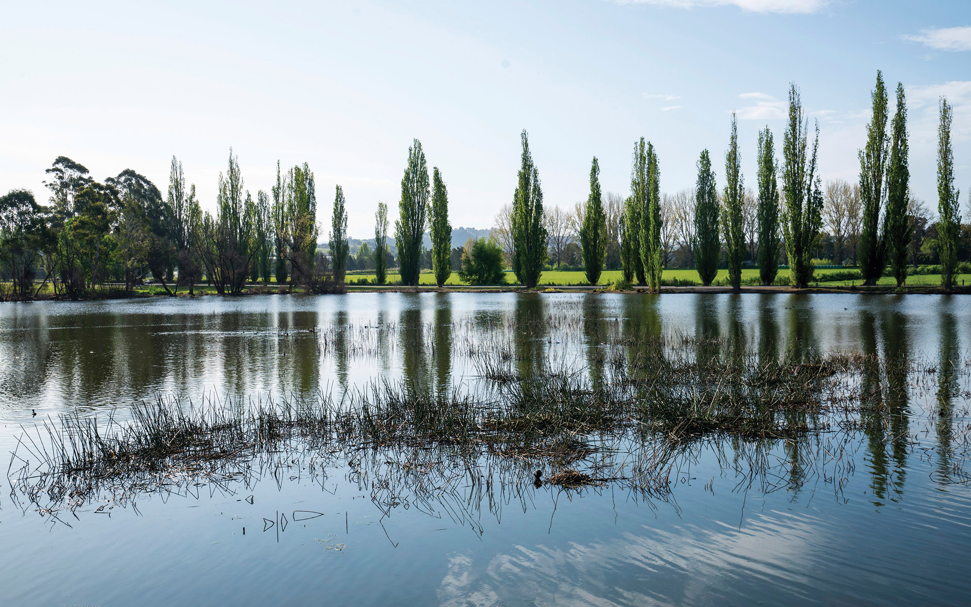
The Bega River is over 48 kilometres in length and its upper reaches are sometimes called the Bemboka River.
The major towns in the catchment are Bega and Bermagui.
Rivers and tributaries
The Bega River starts at the confluence of the Bemboka River and the smaller Tantawangalo Creek. The Bega River has 2 major arms that meet just downstream of the township of Bega: the Bega-Bemboka arm and the Brogo River.
As well as the Bega and Brogo catchments, the Bega Basin includes some significant coastal systems, consisting of Narira Creek and Dignams Creek, which flow into Wallaga Lake, and the Dry/Murrah River system.
Water storages
Brogo Dam is the only major dam within the region. The rest of the catchment is unregulated, meaning that river flows are not regulated by a dam.
Water users
Dairy farming is a key water user in the area, with many dairy farms and cattle in the catchment. Other water users include the Bega Valley Shire Council, cheese production, forestry, cattle grazing and oyster farmers.
No threatened fish species listed under NSW legislation occur in the Bega valley. One threatened fish species, the Australian grayling, is listed as vulnerable under the Commonwealth Environment Protection Biodiversity and Conservation Act 1999.
The Bega River estuary is a key environmental asset within the Bega valley.
Except for Brogo Dam, most water users rely on natural flows or small structures, such as weirs, for water supplies. As in most unregulated rivers, flows are mostly affected during relatively dry times, when water is low and demand high.
In recent years, the Bega Valley has experienced severe droughts. This reduced the volume of water available to licence holders and affected the health of the riverine environment. Sharing limited volumes of water fairly between competing users, such as local councils, farmers and the environment, is a key management issue during times of drought.
The management of lands along river and creek banks is another important issue that can affect water flow and quality. For example, cattle grazing can damage sensitive riverbank vegetation resulting in erosion, and forestry can reduce rainfall run-off into rivers, creeks and streams.