About the Bellinger catchment
Located on the mid-north coast of NSW, the Bellinger river flows from Dorrigo Plateau through to the ocean at Urunga. It has a catchment area of around 1,000 square kilometres, about 70 kilometres long and 20 kilometres wide.
Much of the area is mountainous, with limited areas of flat land associated with river and creek valleys. Steep areas of the catchment are under forest cover, while the narrow floodplain and associated foothills have been cleared for grazing, cropping and other uses.
Rivers and tributaries
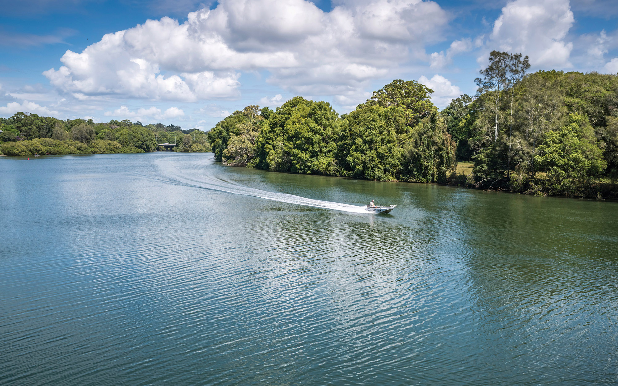
The Bellinger River rises in the Great Dividing Range and flows south-east through an extensive coastal floodplain to Urunga, where it meets the Pacific Ocean. Major tributaries include the Kalang River, and the Boggy, Woods and Hydes creeks.
The tidal influence from the ocean extends about 20 kilometres upstream of the Bellinger River mouth, and about 25 kilometres upstream of the Kalang River mouth.
Water storages
Most water used in the Bellinger comes from dams outside the catchment, or from groundwater.
There is a major dam at Bowraville, which extracts water from bores adjacent to the Nambucca River.
Towns
The major towns are Coffs Harbour, Nambucca Heads, Macksville and Urunga. Raleigh, Repton, and Myleston are smaller villages also in the region.
Water users
Major water users in the catchment include local councils, water utilities, forestry, conservation, livestock grazing for dairy, beef and pork, some irrigated crops such as maize, sorghum and vegetables.
Other economic activities that occur in the catchment include fishing, tourism, and oyster and fish farming.
The Bellinger catchment is highly valued for its natural beauty and contains some regionally significant rainforest. The valley is also famous for the Ringwood Tree and the freshwater turtle, Elseya georgesi, which are only found locally.
The local topography has affected the development of the area. The steep areas have retained forest cover while the narrow flood plain and associated foothills have been cleared for grazing, cropping and other uses. Most of the forest is contained in either national parks or state forest areas.
Water management issues include ensuring water for the environment while providing water for other users. Effluent and farm run off have caused water quality issues in the past, and managing the coastal floodplain is an ongoing issue.