About the Benanee catchment
The Benanee catchment is located in south-west NSW, and borders the Murray and Murrumbidgee river basins. It has a catchment area of 21,390 square kilometres
Rivers and tributaries
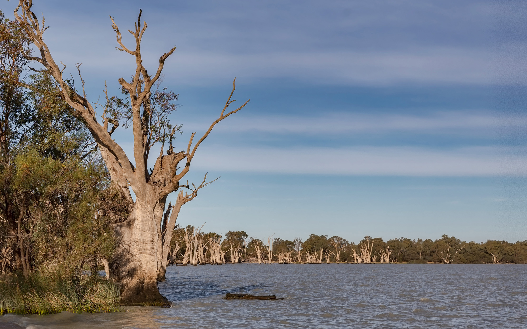
The Benanee River basin contains several creeks, streams and ephemeral lakes with poorly defined boundaries or banks. They contribute small amounts of water to the Murray River, which flows across the basin's south.
Water storages
The largest water storages in the Benanee catchment are the Euston and Mildura weirs.
Towns
The largest population centres in the Benanee are Euston, Buronga, Gol Gol and Dareton.
Water users
Major water uses include irrigation, local council utilities, stock watering, and some forestry.
There are several sites in the Benanee which are include in the Living Murray project.
Access to water is a key issue due to the unregulated nature of the creeks and streams, and the highly variable flows and unreliable rainfall patterns in the catchment.
State-owned weirs in the Benanee are crucial to the overall water management strategy of the Murray-Darling Basin Authority.