About the Castlereagh catchment
The Castlereagh catchment is part of the Murray-Darling Basin in central-western NSW.
The Castlereagh River begins in the Warrumbungle Ranges near Coonabarabran, and flows north-west for 549 kilometres to its confluence with the lower Macquarie River. The Castlereagh catchment is bordered by the Namoi catchment to the east and the Macquarie-Bogan catchment to the west.
The Castlereagh catchment drains an area of 17,400 square kilometres with elevations ranging from 850 metres in the east, to less than 200 metres on the floodplains north-west of the catchment.
Rivers and tributaries
The Castlereagh River rises in the Warrumbungle Ranges and flows east to Coonabarabran, then south to Binnaway, before sweeping around to the north-west where it enters the Macquarie River north of Carinda.
Downstream of Gulargambone, many smaller creeks and streams join the Castlereagh River, forming a floodplain that carries flows between the Castlereagh and Barwon rivers during floods.
Water storages
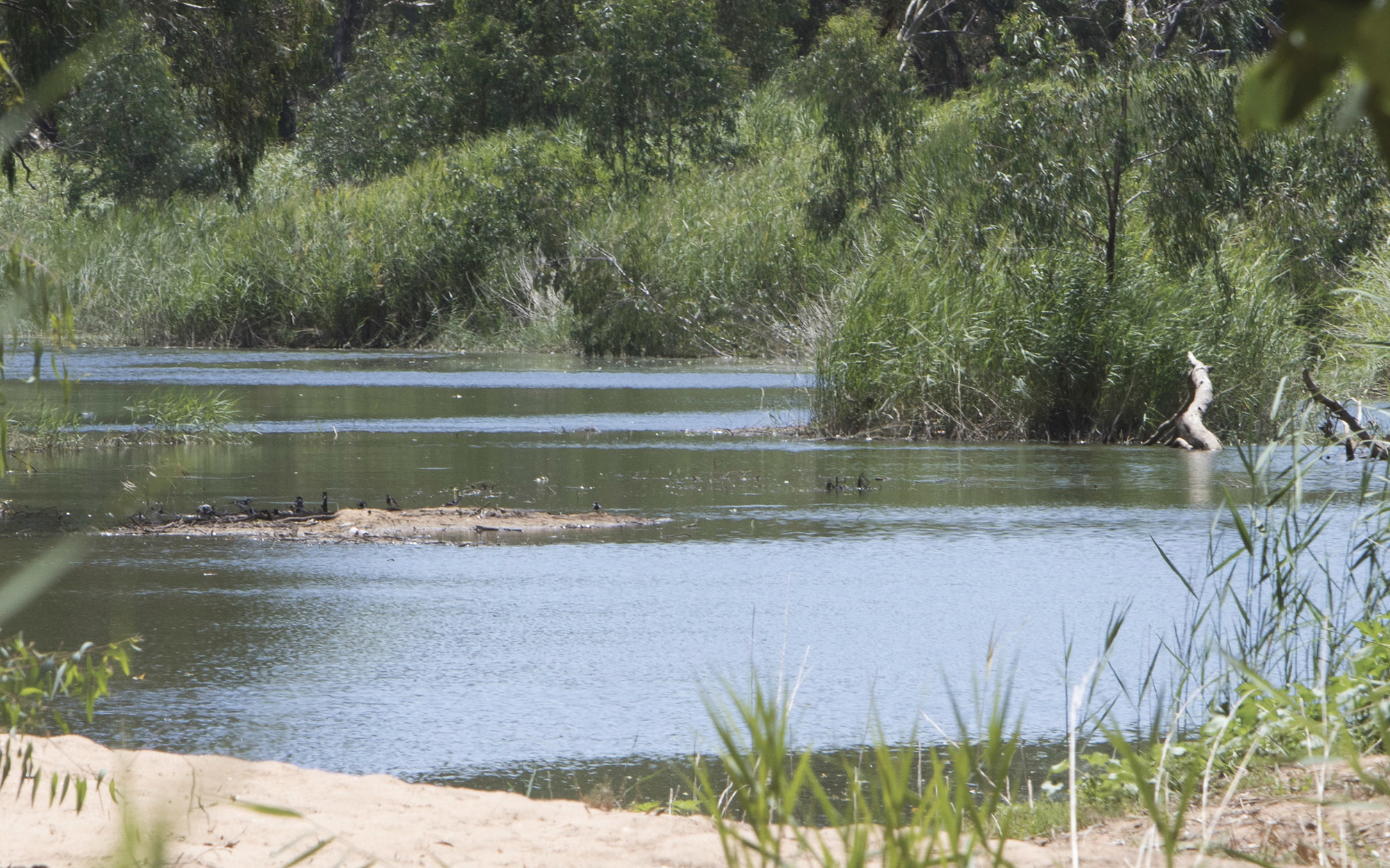
The Castlereagh is an unregulated river that has no major storages.
Towns
The Castlereagh is an unregulated river that has no major storages.
Water users
Water is mainly used for stock watering and dryland agriculture. Grazing accounts for 63 per cent of land use, while dryland cropping and horticulture account for 20 per cent.
Local water utilities are also an important water user, especially in the upper catchment. Town water supply accounts for 10 per cent of all surface water use and 43 per cent of groundwater use in the catchment.
There are very few wetlands in the Castlereagh catchment. However, floodplain, woodlands and shallow wetland complexes occur on some of the effluents in the lower catchment.
The Goonoo State Conservation Area, south-east of Gilgandra, has important biodiversity values. It is the largest remaining area of blue-leaf ironbark forest in NSW and provides habitat for the endangered mallee fowl.
The Castlereagh is an unregulated river, meaning it has no major storages. Stream flows are highly variable and the river's sandy bed is often dry. Surface water in the river is highly connected to alluvial aquifers along the riverbed. These aquifers are an important source of groundwater.
Sharing water fairly between competing water users and the environment, within the extraction limits set by the Murray-Darling Basin Plan, is a key water management issue. Water sharing plans within the catchment seek to address this issue by setting long-term rules on how water can be accessed, used and traded.