About the Clarence catchment
The Clarence River catchment is on the far north coast of NSW, situated around the city of Grafton.
The Great Dividing Range makes up the western boundary between Stanthorpe and Glen Innes, Bald blair, the Doughboy Ranges and the Dorrigo Plateau in the south make up the southern boundary, and the MacPherson Ranges make up the northern boundary.
The eastern boundaries are defined by coastal ranges from Coffs Harbour to just south of Wooli, and by the coast from Wooli to around 8 kilometres south-west of Evan’s Head. The river enters the ocean between Yamba and Iluka.
The catchment is made up of tablelands in the west which fall away to the relatively large, flat coastal floodplain. It has an area of 22,716 square kilometres.
Rivers and tributaries
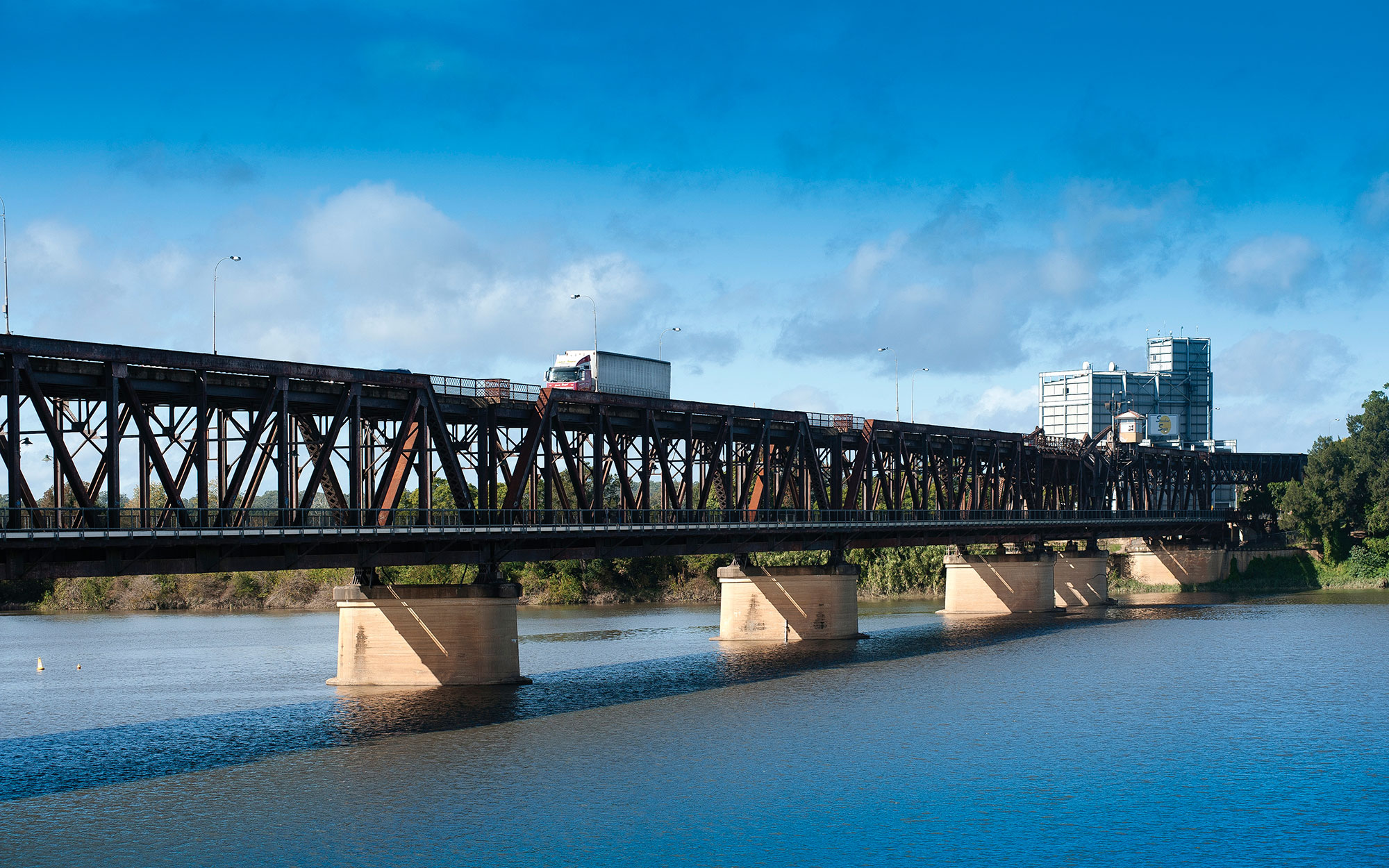
The Clarence is the largest river on the east coast of NSW. It rises in the Macpherson Ranges on the NSW-Queensland state border, and flows south through an extensive coastal floodplain to Yamba, where it meets the Pacific Ocean.
Major tributaries include the Mann, Nymboida and Orara rivers. The river mouth estuary extends 108 kilometres inland to Copmanhurst.
Water storages
Most of the rivers and creeks in the Clarence River basin are unregulated, with no major storages to capture and control flows.
Towns
The towns of Grafton, Maclean, Yamba and Iluka are the main centres of population along the estuary, with Tenterfield and Dorrigo also located within the catchment.
Water users
Beef cattle production is the main land and water user for the catchment.
Sugar cane, the dominant crop, is grown intensively on the lower Clarence, especially around Maclean, Harwood Island and Palmers Island. Other water use is by local councils and water utilities, forestry, dryland agriculture, aquaculture, prawn trawling, fishing and tourism.
The catchment enjoys a great diversity of vegetation types and wildlife habitats, with many areas protected in national parks, nature reserves and other types of reserves. The catchment's remnant rainforests are ecologically important, as they are habitat areas with great species diversity.
Twenty per cent of the Clarence River catchment is made up of national park and 30 per cent is state forest . These protected areas have helped to reduce human impacts on the river.
Key issues include riverbank erosion, gully erosion, invasive weeds, fire management practices and acid sulphate soils.
Due to a high density of rural settlement, the region's rivers and estuaries tend to be affected by changed run-off conditions caused by land clearing, agricultural use, human settlement and recreation. Many streams on the coastal floodplain have been straightened and directed into channels, which affects their streamflow patterns.
Sewage treatment plants discharge high volumes of nutrient rich water into the basin's river systems, which can cause water quality issues.
Most of the rivers and creeks in the Clarence River basin are unregulated, with no major storages to capture and control flows. Most water users rely on natural flows or small structures, such as weirs, for their water supplies. As in most unregulated rivers, flows are most affected during relatively dry times, when water is low and demand high.