About the Clyde catchment
The Clyde-Jervis Bay catchment is located on the NSW south coast. It extends from just south of Culburra Beach to halfway between Broulee and Moruya Heads.
The Clyde River rises below Kangaroo Hill in the Budawang range, part of the Great Dividing Range. It flows generally southward for over 100 kilometres, and has a catchment area of 3,260 square kilometres.
Rivers and tributaries
The tributaries of the Clyde River include Bimberamala Creek, Currowan Creek and the Buckenbowra River.
Minor coastal river and creek systems account for 40 per cent of the catchment area and include Currambene, Wandandian and Conjola creeks, and Tomago River.
Water storages
Shoalhaven Water operates Porters Creek Dam to supply water to Milton and Ulladulla. It has a storage capacity of 1,000 megalitres.
Eurobodalla Shire Council pumps water from the Buckenbowra River to Deep Creek Dam which supplies the townships of Batemans Bay and Malua Bay.
Towns
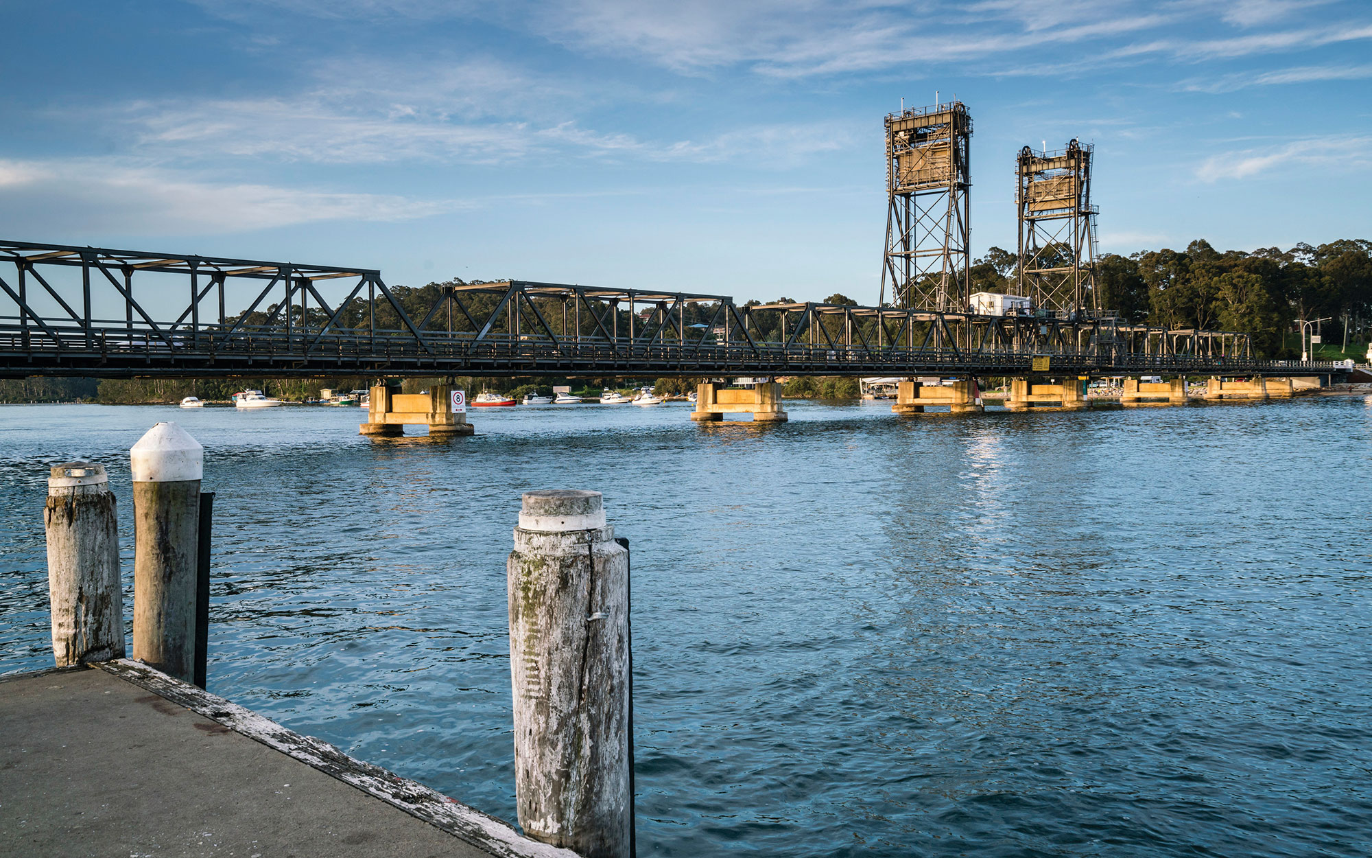
Main towns in the Clyde catchment include Milton, Ulladulla, Batemans Bay and Sussex Inlet.
Water users
Shoalhaven Water, Eurobodalla Shire Council, tourism, forestry, cattle grazing, dairy farming, oyster farming and fishing make up the major water uses for the catchment.
Extensive forest communities and endangered ecological communities populate this catchment. The vegetation of the foreshores helps to maintain the health of the Clyde estuary and the abundance of fish in its waters, which are part of Batemans Marine Park.
Most of the rivers and creeks in the Clyde River-Jervis Bay Basin are unregulated, meaning there are no major storages to capture and control flows. Most water users rely on natural flows or small structures, such as weirs for their water supplies. As in most unregulated rivers, flows are mostly affected during relatively dry times, when water is low and demand is high.
Land management along river and creek banks is an important issue that can affect water flow and quality. For example, cattle grazing can damage sensitive riverbank vegetation resulting in erosion and development along the coastal fringe can alter natural waterways and increase water pollution.