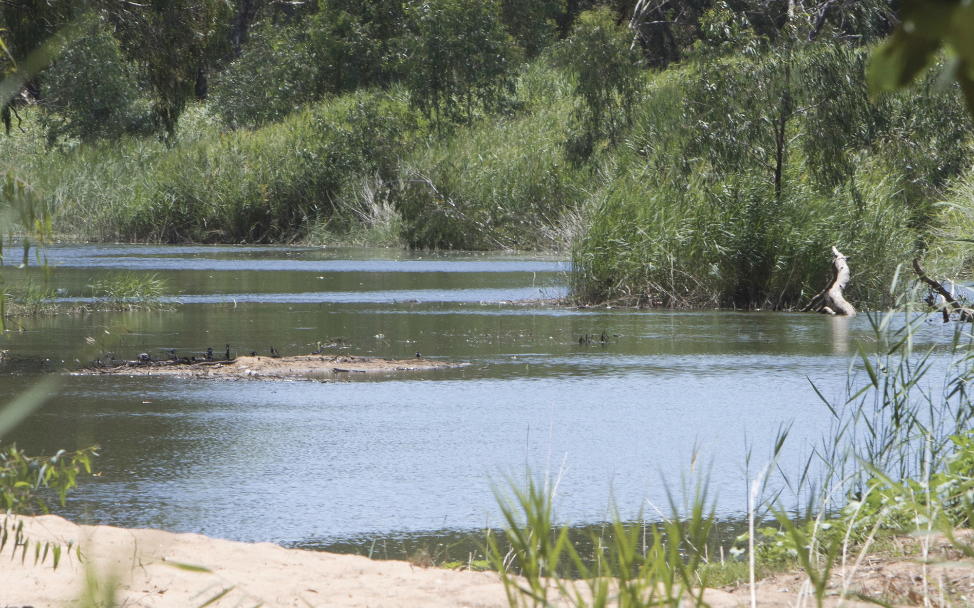
About the East Gippsland catchment
The majority of the East Gippsland catchment lies in north-east Victoria, with a small proportion on the NSW far south coast. The total catchment area is 1,170 square kilometres.
Rivers and tributaries
Genoa River is the only tributary.
Water storages
The East Gippsland River Basin is unregulated, without any major storages to capture and control flows.
Towns
Rockton is the only major town.
Water users
Local councils, forestry and cattle grazing are the key water uses.
East Gippsland is highly valued because of its vast expanses of wilderness and virtually pristine ecosystems. It is considered a biodiversity reservoir, and has unique bioregions.
Since there are no major storages, most water users rely on natural flows or small structures, such as weirs for their water supplies. As in most unregulated rivers, flows can be affected during relatively dry times, when water is low and demand is high.
The management of lands along river and creek banks is an important issue that can affect water flow and quality. For example, forestry can reduce rainfall run-off into rivers, creeks and streams, and cattle grazing can damage sensitive riverbank vegetation resulting in erosion.