About the Gwydir catchment
The Gwydir catchment is in north-eastern NSW. It is separated from the Border Rivers catchment to the north by the Mastermans Range, and from the Namoi catchment to the south by the Nandewar Range. The Great Dividing Range lies along the eastern boundary, and the Macleay catchment lies to the east.
The catchment makes up an area of 26,600 square kilometres. It includes extensive areas of forest in the high-altitude areas of the eastern catchment, with a gradual westward change to more open forest, shrublands and grassy plains.
Rivers and tributaries
The Gwydir River's main tributaries are Copes, Moredun, Georges and Laura creeks, and the Horton River.
The Gwydir River rises in the New England Tablelands near Uralla and flows north-west through steep valleys until it reaches the flat plains near Gravesend. Upstream of Moree the valley widens and the Gwydir River breaks into a complex pattern of creeks, anabranches and wetlands.
The wetlands at the end of the catchment soak up much of the Gwydir River's flow. During flood events water spills out across the floodplain and enters the Barwon River at several points.
Water storages
Copeton Dam is the major irrigation storage within the Gwydir catchment, drawing its water from a catchment area of over 5,300 square metres. It is located on the Gwydir River, 35 kilometres south-west of Inverell.
With a total capacity of 1,364,000 megalitres, Copeton Dam provides for town water supplies, irrigation, stock and domestic use, industry, and environmental flows along the Gwydir River and its effluent channels. A series of weirs and regulators assist in diverting water to the various watercourses of the lower Gwydir catchment.
Towns
Moree is the largest town in the Gwydir catchment, and the main commercial centre for the surrounding agricultural areas. It is also a major transport and tourism hub, being located at the junction of the Gwydir and Newell highways.
Smaller towns include Uralla and Guyra, in the New England tablelands, and Bingara and Warialda in the middle of the catchment.
Water users
Land use in the Gwydir catchment is dominated by extensive agriculture, with 70 per cent of the catchment being used for grazing. Major water users in the catchment area include local councils and water utilities, dryland agriculture, livestock grazing and irrigated agriculture, predominantly cotton.
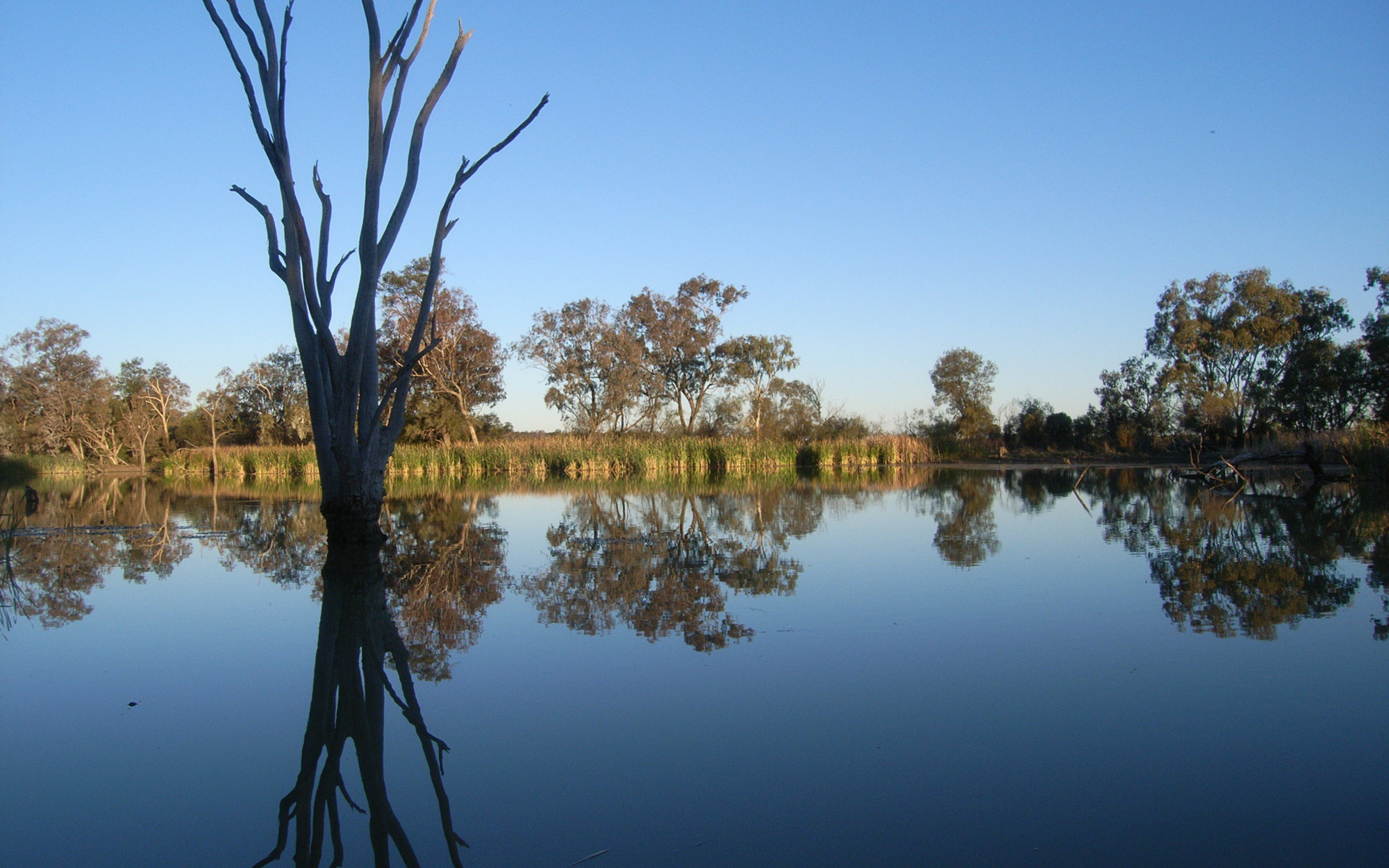
There is an alluvial fan downstream of Moree where extensive floodplain wetlands known as the Lower Gwydir wetlands have developed.
Covering around 1,000 square kilometres, these wetlands are listed as a site of international significance under the Ramsar Convention. They provide freshwater habitat for many threatened species and support many colonial waterbirds which use the wetlands for breeding.
Sharing water fairly between competing water users and the environment is a key water management issue. Water sharing plans seek to address this issue by setting long-term rules on how water can be accessed, used and traded.
Floodwaters play a vital role in sustaining and replenishing the Lower Gwydir wetlands, and are also highly valued by local agricultural users. Ensuring these are shared fairly is an ongoing water management issue.
The alteration of natural river flows due to dams and weirs, and erosion from land clearing, affect riverine health and contribute to water quality problems, such as salinity.