About the Hastings catchment
The Hastings catchment is on the NSW mid-north coast. The catchment extends from the New England tablelands to the Pacific Ocean, and includes 84 kilometres of coastline.
The catchment has an area of 4,484 square kilometres.
Rivers and tributaries
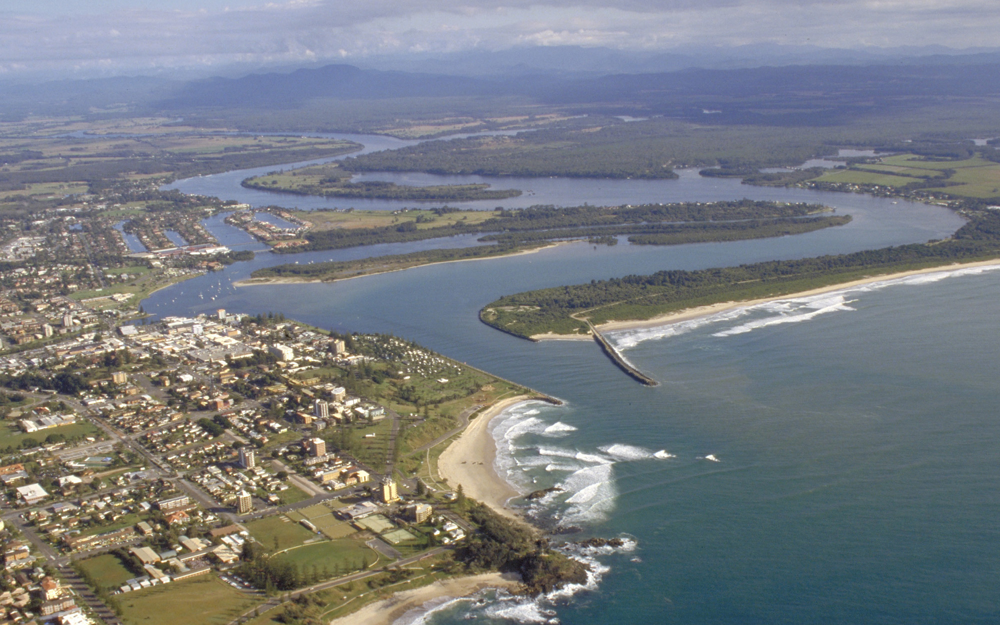
There are 2 major rivers in the catchment: the Hastings, which rises in the Great Dividing Range and flows south-east through a coastal floodplain to Port Macquarie, where it meets the Pacific Ocean; and the Camden Haven, which flows through coastal lakes to the sea.
Major tributaries include the Doyles, Ellenborough and Thone Rivers.
Water storages
There are no major storages on the rivers in the Hastings catchment. Reticulated water supply in the catchment is from the Cowarra and Port Macquarie dams. Cowarra Dam has a maximum capacity of 10,000 megalitres, and Port Macquarie Dam has a capacity of 2,500 megalitres.
Towns
Port Macquarie, at the mouth of the Hastings River, is the catchment's most populous town. Other major towns include Laurieton and Wauchope.
Water users
The fertile Comboyne Plateau and alluvial soils of the rivers' middle reaches support dairy and beef industries. In the lower reaches, important local users include livestock grazing, fishing, oyster farming, grapes, tourism, and urban and rural residential.
Local councils, water utilities, conservation and forestry are also major water users in the catchment.
Large areas of state forest and national park occur in the catchment's steep upper reaches, as well as on the coast. There are also significant habitats with endangered ecological communities in Port Macquarie, the largest urban centre.
Major threats to the environmental integrity of this area include vegetation and habitat loss, environmental weed incursion, feral animals and acid sulphate soils on the coastal plain. Water quality and stream bank stability are major issues.
Due to the high density of rural settlement, the region's rivers and estuaries tend to be affected by changed run-off conditions caused by land clearing, agricultural use, human settlement and recreation.
Most of the rivers and creeks in the Hastings River Basin are unregulated, without major storages to capture and control flows. Most water users rely on natural flows or small structures, such as weirs for their water supplies. As in most unregulated rivers, flows are most affected during relatively dry times, when water levels are low and demand high.