About the Hunter catchment
The Hunter catchment lies east of the Great Dividing Range, around 100 kilometres north of Sydney.
It is bounded by the Manning and Karuah catchments in the north, and by the Lake Macquarie and Hawkesbury-Nepean catchments in the south. The region is popularly known as the Hunter Valley.
The Hunter catchment supports a range of landscapes, from high mountain ranges up to 1,500 metres high, to broad fertile floodplains and extensive estuarine areas less than 50 metres high. In the west of the catchment there are large areas of wilderness and national park.
The Hunter is the largest coastal catchment in NSW, with an area of about 21,500 square kilometres.
Rivers and tributaries
The Hunter River begins in the Mount Royal Range on the western side of the Barrington Tops. It then flows for around 460 kilometres to enter the sea at Newcastle.
Tributaries of the upper Hunter River include the Pages and Isis rivers, and Middle, Dart, Stewart, Moonan and Ormadale brooks.
The largest tributary of the Hunter is the Goulburn River. It accounts for 40 per cent of the Hunter’s catchment area, but makes up only 23 per cent of its flow. The Goulburn River begins at Ulan near Mudgee and flows east to join the Hunter River near Denman.
The Paterson and Williams rivers rise in the Barrington Tops and drain the higher rainfall area in the north-east of the catchment. Both rivers flow south into the Hunter estuary.
The southern portion of the Hunter is drained by several streams, the largest of which is Wollombi Brook. It rises in the Hunter Range at an elevation of about 440 metres and enters the Hunter River near Singleton.
Water storages
The Hunter is regulated by 2 major headwater storages. Glenbawn Dam on the upper Hunter River, and Glennies Creek Dam on Glennies Creek are operated to supply water for irrigation, town water, stock and domestic supplies, as far downstream as Maitland.
The volume and pattern of flows in the Hunter River system have been significantly altered by the construction and use of these storages.
There are also several smaller dams. Lostock Dam is a smaller storage that regulates water supply to users along the Paterson River. Chichester Dam in the upper Williams catchment, and Grahamstown Dam near Raymond Terrace, are operated to supply town water to the lower Hunter region.
Towns
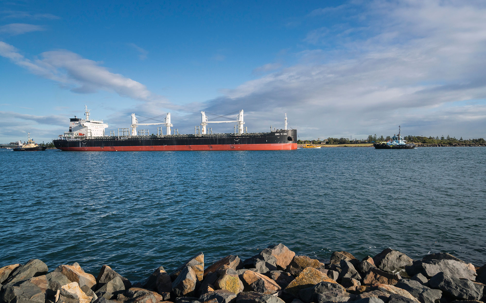
Newcastle, the second largest city in NSW, is located at the mouth of the Hunter River.
Major towns in the catchment are Maitland, Singleton, Cessnock, Muswellbrook and Raymond Terrace.
Water users
The Hunter River supports a large population and a diverse range of important water users.
Key water users include Hunter Water Corporation and local councils, which supply town water to Newcastle and other population centres. Other key uses include power generation, coal mines, and other heavy industry.
Horse and cattle studs, dairy farms, and irrigated agriculture, including for the Hunter Valley wineries, are other important water users.
Several large wetland complexes are listed as nationally or internationally important for their waterbird habitat. These are the Kooragang Nature Reserve in the Hunter Wetlands National Park, Hexham Swamp, the upland swamps of Barrington Tops, and the Hunter Wetlands Centre.
Wollemi National Park stretches across the south of the catchment between Wollombi and Bylong, forming part of the Greater Blue Mountains World Heritage Area. Goulburn River National Park extends along 90 kilometres of the Goulburn River and contains over 300 sites of Aboriginal significance.
The volume and pattern of flows in the Hunter River system have been significantly altered by the construction and operation of Glenbawn and Glennies Creek dams.
Large volumes of water are also taken and stored for power station use in Lake Liddell. Water sharing plans have been developed to address environmental requirements downstream of the major dams, and to ensure sustainable use of water by all water users.
The Hunter's climate is highly variable, with periods of severe drought and flood. There has been extensive modification of the lower Hunter River's floodplain, in particular extensive construction of flood diversion works following the major floods of the 1950s and 1970s.
The Hunter region, and particularly the lower Hunter catchment, supports a high level of urban and industrial development which has affected water quality. In the upper catchment, land clearing has resulted in erosion and salinity issues.
