About the Karuah catchment
The Karuah catchment is on the NSW mid-north coast directly north of the Hunter catchment. Bordered by the Manning River catchment in the north, and the Hunter River catchment in the south and west, it has an area of 4,480 square kilometres.
The upper Karuah valley makes up the upper reaches of the Myall and Karuah rivers. It contains narrow valleys less than 1 kilometre across, and bounded by steep ridges. The lower part of the catchment contains increasingly wider rider valleys, ranging from 1.5 to 7 kilometres across. It includes the middle and lower reaches of the river, floodplains and adjacent rolling lands, and drains the north-south ridge lines.
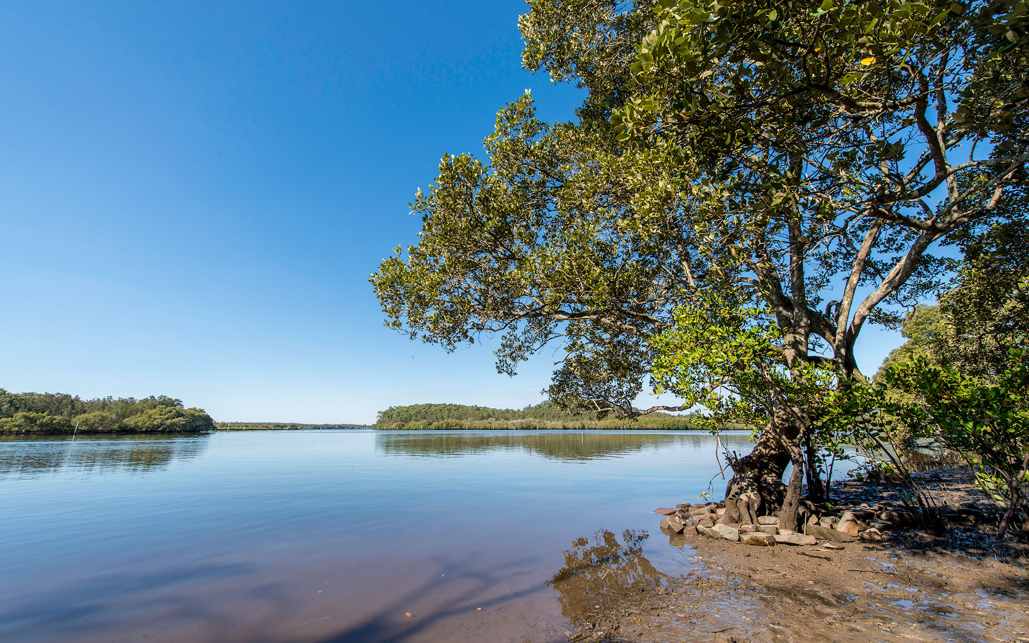
Coastal features of the Karuah catchment are characteristic of a 'drowned' coastline, where existing features became submerged due to a changing relative sea level. A system of lagoons, including Boolambayte, Myall, Smiths and Wallis lakes, sit between the hinterland and the coastal dune barriers.
Rivers and tributaries
Three major river systems drain the Karuah River basin. In the south, the Karuah and Myall rivers drain south to Port Stephens, while in the north, the Wallamba, Wallingat, Wang Wauk and Coolongolook rivers drain east into the northern part of Wallis Lake.
The Karuah and Myall rivers are roughly parallel, reflecting the strong north-south orientation of the topography of the inland part of the Karuah basin.
Water storages
There are no major water storages on the rivers in the Karuah catchment. Town water supply is from groundwater or storages outside the catchment.
Towns
The most populous areas in the catchment are around Port Stephens, which has grown significantly in recent years. Other major centres in the catchment are Forster/Tuncurry, Bulahdelah, Karuah, Hawks Nest and Nelsons Bay.
Water users
Since the decline of the dairy industry, agricultural land use has been mainly beef cattle production. There are also poultry farms in the catchment.
Other major water users include Hunter Water Corporation, local councils, the oyster farming and fishing industries. Recreational fishing, linked with the prominent and fast-growing tourism industry, is also a popular activity in the catchment.
NSW State Forests manages 20 per cent of the area for multiple usage, including timber production, grazing, and conservation. Similarly, the National Parks and Wildlife Service manages approximately 10 per cent of the total catchment area, with most of this land located in the Myall River National Park.
Most rivers and creeks in the Karuah River Basin are unregulated, without major storages to capture and control flows. Most water users rely on natural flows or small structures, such as weirs. As in most unregulated rivers, flows are most affected during relatively dry times, when water is less and demand high.
The rapid development of the tourism industry in the region is mainly due to its proximity to Sydney and Newcastle, as well as the attractive climate and the aesthetic value of the area. The continued pressure of development, however, has led to water quality issues such as the bacteriological contamination of Wallis Lake.
Open-cut coal mining is relatively new to the area, and strict controls will be required to prevent increases in salinity levels in the creeks.