About the Lake George catchment
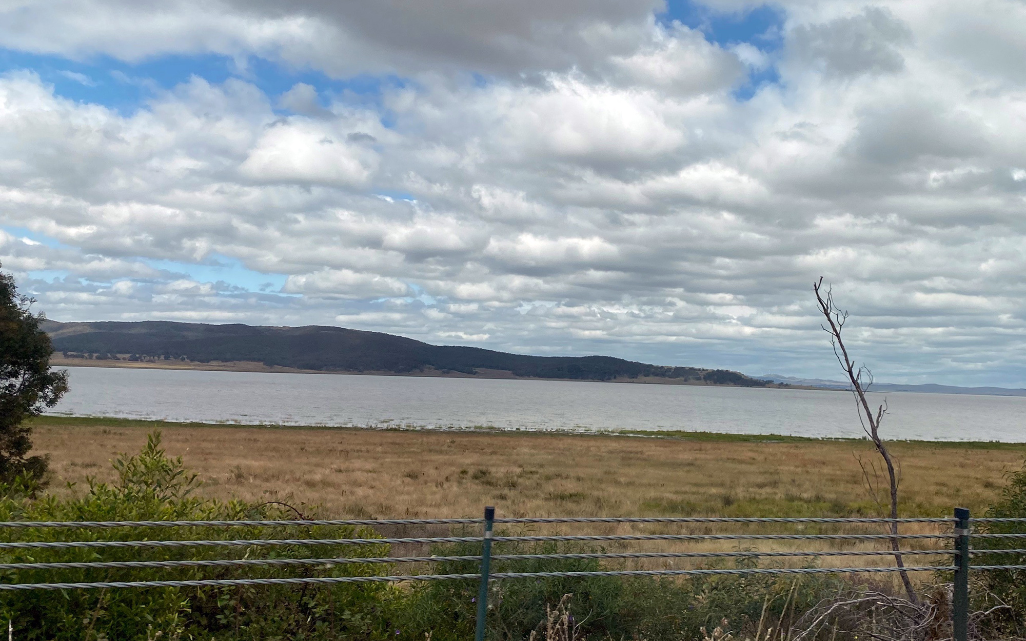
Lake George is in south-eastern NSW to the north of the NSW-ACT border. It adjoins the Murrumbidgee and Lachlan catchments in the west, and the Hawkesbury and Shoalhaven catchments in the east. It is a large internally draining basin that was formed when the Lake George escarpment rose 5 million years ago.
Lake George has a small catchment area of 950 square kilometres, with the lake itself occupying 16 per cent of this area. The highest parts of the catchment lie along the Great Dividing Range in the east where elevations are up to 1,100 metres. The lake bed lies at an elevation of approximately 600 metres.
Rivers and tributaries
Lake George is 25 kilometres long, 10 kilometres wide, and very shallow. The lake has no surface outflow but water is lost through evaporation and underground seepage.
This natural drainage basin is fed by 10 major tributaries that drain from the surrounding hilly country. These tributaries originally drained to the Yass River before they were cut off by the uplift of the Lake George Range.
The northern part of the catchment is drained by Collector Creek, Tarago Creek and Currawang Creek, while the southern end of the catchment is drained by Butmaroo Creek and Turallo Creek.
Water storages
The catchment does not have a major water storage.
Towns
The town of Bungendore lies in the south of the catchment, while the village of Collector is in the north.
Water users
Catchment land use is mainly grazing, which accounts for 76 per cent of all land use. Other water uses in the catchment include tourism, grazing and wine growing industries. There is a high reliance on groundwater, mainly for stock watering.
Lake George is listed as a wetland of national significance in the Directory of Important Wetlands in Australia. When flooded it is an important habitat for waterbirds, as well as several threatened species. It is also of significant historical, cultural and scientific value.
Rowes Lagoon north-east of the catchment is an upland wetland sustained by local rainfall and groundwater. When flooded, the lagoon supports an extensive area of reeds and sedges and is a valuable waterbird habitat.
Lake George dries up during drought years and cannot provide a secure water source to local users. Being a closed basin, Lake George accumulates salt and nutrients from its catchment, making it one of the saltiest water bodies in inland NSW when flooded.