About the Macquarie-Bogan
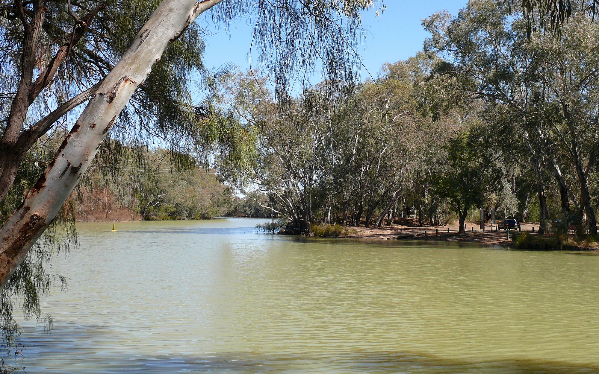
The Macquarie-Bogan catchment is in the central-west of NSW, and has an area of 74,800 square kilometres. The headwaters of the Macquarie River are in the Great Dividing Range south of Bathurst. The river flows north-westerly until it joins the Barwon River near Brewarrina.
Elevations across the catchment range from 1,300 metres in the mountains south of Bathurst, to less than 100 metres near Brewarrina in the catchment's far north. Below Dubbo, the valley mainly comprises flat alluvial plains with elevations less than 300 metres.
Rivers and tributaries
The Fish and Campbells rivers join to form the Macquarie River near Bathurst. The river then extends north-west.
At Burrendong Dam the Macquarie River is joined by the Cudgegong River, which rises in the Great Dividing Range above Rylstone. Other tributaries include the Turon, Bell, Little and Talbragar rivers. The Macquarie ultimately joins the Barwon River upstream of Bourke and Brewarrina.
The Bogan River rises in the Harvey Ranges near Peak Hill and flows north-west through Nyngan to join the Darling River near Bourke. Near Warren, a series of effluent creeks break away from the Macquarie River and connect with the Bogan River.
Water storages
Burrendong Dam, located on the Macquarie River, is the largest storage in the catchment with a capacity of 1,190,110 megalitres. It provides storage for irrigation, town water, stock and domestic use.
Windemere Dam is the second largest dam, with a capacity of 353,000 megalitres. It provides town water, as well as water for irrigators and other water users. There are also smaller dams within the catchment area providing town water supplies.
Towns
Major cities and towns relying on the rivers in the Macquarie-Bogan catchment include Bathurst, Orange and Oberon upstream of Burrendong Dam, and Dubbo, Wellington and Nyngan on the Macquarie River below Burrendong Dam.
Mudgee, Peak Hill, Narromine, Warren, Lithgow, and Brewarrina also draw their water from rivers in the catchment.
Water users
The Macquarie-Bogan catchment supports a range of water users including local councils, water utilities, dryland agriculture, livestock grazing and some irrigated agriculture, such as cotton.
The Ramsar-listed Macquarie Marshes are located on the Macquarie River between Warren and Carinda. When fully flooded the marsh area covers more than 150,000 hectares and is one of the most important colonial nesting waterbird breeding sites in Australia.
Sharing water fairly between competing water users and the environment within the extraction limits set by the Murray-Darling Basin Plan is a key water management issue. Water sharing plans seek to address this issue by setting long-term rules on how water can be accessed, used and traded.
A reduction in the frequency, size and duration of flows to the Macquarie Marshes and the diversion of floodwaters within the marshes are key water management issues.
Other issues include the alteration of natural river flows through the construction of dams and weirs. Erosion from land clearing affects riverine health and contributes to water quality problems, such as salinity.