About the Macquarie Tuggerah
The Macquarie Tuggerah catchment is in the NSW Central Coast and Lake Macquarie area, directly south of the Hunter basin. The catchment covers an area of 1,630 square kilometres and is bordered by a series of east flowing streams in the north, and the Sugarloaf Ranges to the north-west.
The Hawkesbury River acts as a boundary to the south, while the Hunter Range separates the Macquarie Tuggerah catchment from the Mangrove Creek catchment.
Rivers and tributaries
Dora Creek runs south-east for 25 kilometres to meet Lake Macquarie at the township of Dora Creek. The tidal influence in Dora Creek extends 12 kilometres upstream of Stockton Creek. The major tributaries of Dora Creek include Moran, Tobins, Jigadee, Blarney and Deep creeks.
The Wyong River runs south-east for 48 kilometres to meet Tuggerah Lake at Tacoma. The tidal influence in Wyong River extends approximately 9 kilometres past the junction to Deep Creek. The Wyong River's major tributaries include Jilliby Jilliby and Cedar Brush creeks.
Ourimbah Creek runs south-east for 31 kilometres to meet Tuggerah Lake at Chittaway. Ourimbah Creek's major tributaries include Elliots, Bumbles, Toobys, and Bangalow creeks, which drain the southern corner of the catchment.
Water storages
There are no major water storages on rivers in the catchment. Town water supply is partially from Mangrove Creek Dam and Mooney Mooney Creek Dam, in the Hunter catchment, and partially from Mardi Dam, which is an off-river storage dam in the catchment.
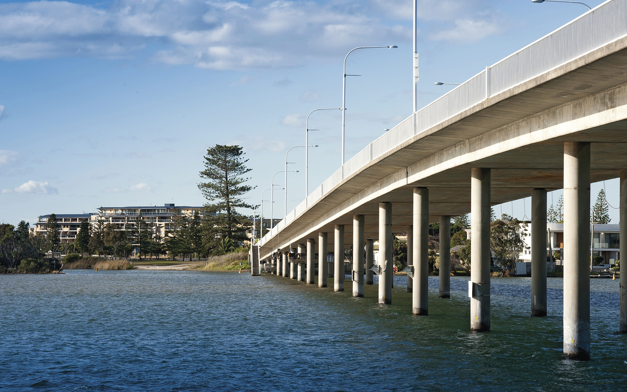
Towns
Major towns in the catchment include Wyong, Toronto, Belmont, Swansea, The Entrance, West Wallsend and Morisset.
Water users
There are a range of major industries which make use of the catchment’s rivers and estuarine resources. These include power generation, coal mining, sandstone and sand mining, heavy industry, agriculture and associated businesses.
Agricultural businesses in the area includes dairy, beef cattle, poultry, citrus orchards, wine grapes, horse and cattle studs, turf growers, horticulture, and textiles.
The Central Coast Council is also a major water user, providing town water supply in the region.
Marine sediment deposits occur along the major water courses. These deposits include the barrier beach systems found within areas enclosing Tuggerah and Munmorah lakes and at Swansea, Redhead and The Entrance.
Human activities have significant effects on rivers in the catchment. There are issues with both point source and diffuse pollution of waterways and changes to flow patterns due to storage and use of water. Changed patterns of vegetation cover caused by altered land use patterns and specific land management practices can cause water quality issues due to erosion, and salinity.
Most of the rivers and creeks in the Macquarie-Tuggerah Lakes Basin are unregulated, meaning there are no major storages to capture and control flows. Most water users rely on natural flows or small structures, such as weirs for their water supplies. As in most unregulated rivers, flows are most affected during relatively dry times, when water is low and demand high.