About the Mooni catchment
The Mooni River is a northern tributary of the Barwon River. It crosses the NSW border about 50 kilometres upstream of its confluence with the Barwon.
The Mooni River has a total catchment area of 14,370 square kilometres. Less than 3 per cent of the catchment lies within NSW, with the remainder in the Darling Downs region of southern Queensland.
Rivers and tributaries
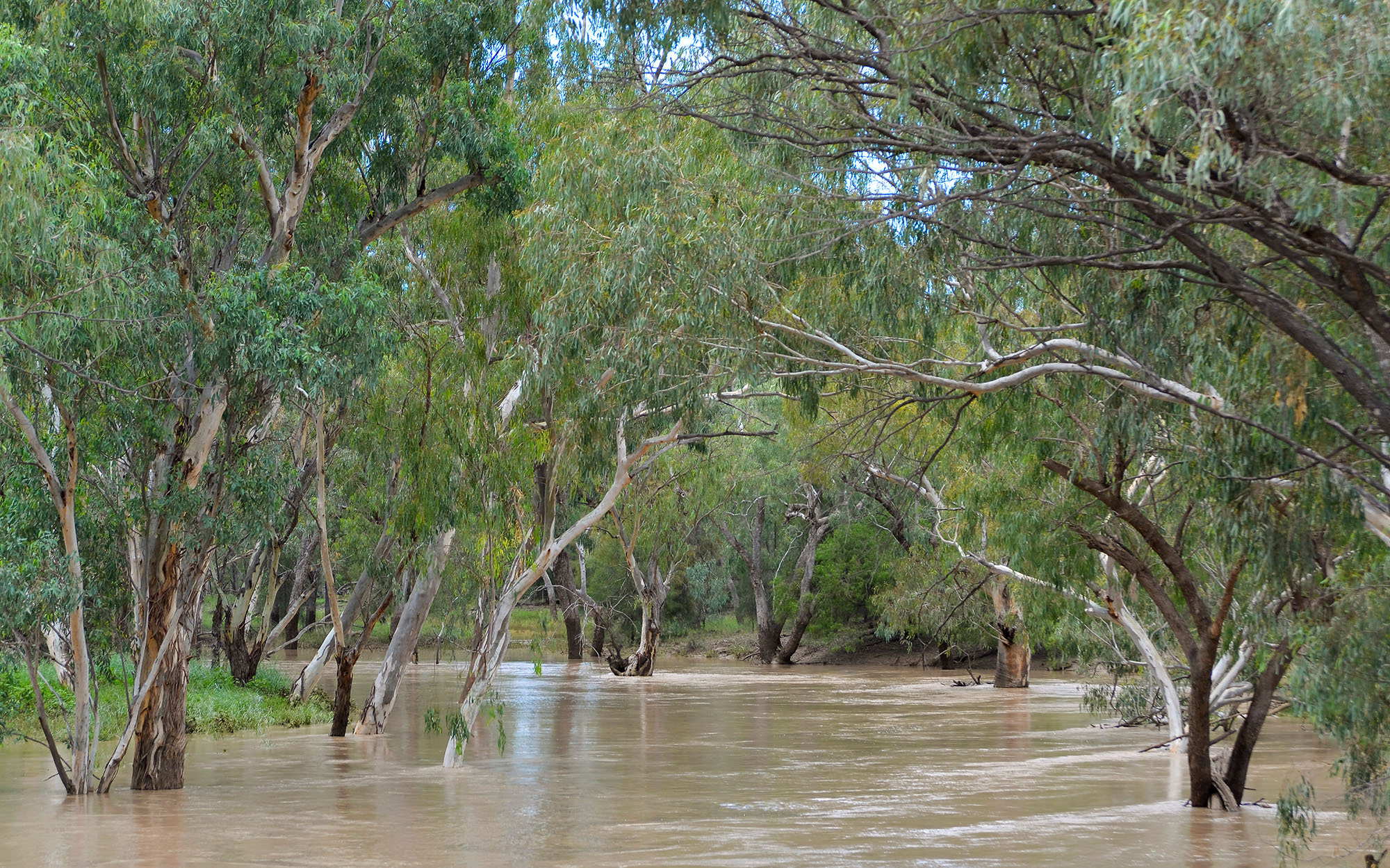
The Mooni River begins near the small village of Mooni in southern Queensland and flows south-west, crossing the NSW border about 50 kilometres upstream of its confluence with the Barwon River. The Mooni River is unregulated with only 2 weirs along its length.
Water storages
There are no major water storages in the catchment. There are 2 weirs on the Moonie River; the Nindigully Weir and Thallon Weir.
Towns
There are no towns in the catchment.
Water users
Land use in the catchment is mainly grazing and dryland cropping. Water is used for irrigation, stock and domestic supply.
There are Murray cod present in the Moonie River water source. The catchment also contains the
endangered Coolibah Black Box Woodland ecological communities.
The Mooni River is an unregulated stream and river flows are highly variable. Sharing the catchment's water resources fairly between NSW and Queensland under the rules of the Murray-Darling Basin Plan is a key water management issue.