About the Moruya catchment
Located on the NSW south coast, the Moruya catchment covers an area of 1,550 square kilometres. It sits between the Clyde and Tuross catchments, with the southern portion of the Shoalhaven catchment forming the western boundary.
Rivers and tributaries
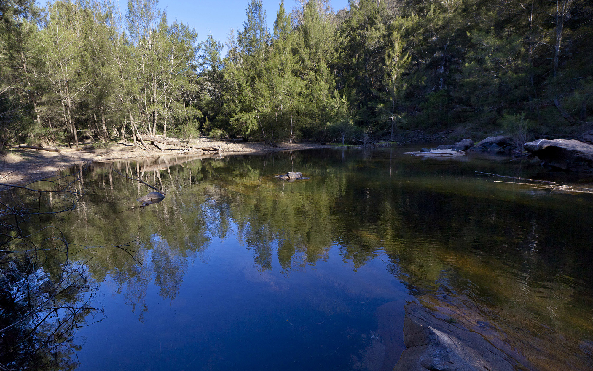
The major water source in the region is the Deua-Moruya River system. The Deua River descends from elevations up to 1000 metres within the Deua National Park. It travels a meandering path eastwards until it and other smaller tributaries meet the Moruya River near Kiora.
The Moruya River then travels a meandering path through Moruya to reach the ocean at Moruya Heads, alongside the Eurobodalla National Park.
Water storages
Eurobodalla Shire Council pumps water from the Deua River to supply the town of Moruya. Water pumped from the Deua River can be stored in Deep Creek Dam, located in the Clyde River Basin.
Towns
Moruya is the only major town in the region.
Water users
Major water users in the region include Eurobodalla Shire Council, tourism, forestry, cattle grazing and dairy farming.
Much of the catchment is made up of national parks and state forests. The largest area is taken up by the Deua National Park, but there is also the Wandera State Forest, Eurobodalla National Park, and Araluen Nature Reserve.
Most of the rivers and creeks in the Moruya River Basin are unregulated, with no major storages to capture and control flows. Most water users rely on natural flows or small structures, such as weirs for their water supplies. As in most unregulated rivers, flows are mostly affected during relatively dry times, when water is low and demand is high.
The management of lands along river and creek banks is an important issue that can affect water flow and quality. For example, cattle grazing can damage sensitive riverbank vegetation resulting in erosion. Also, development along the coastal fringe can alter natural waterways and increase water pollution.