About the North-western catchment
North-western NSW contains 4 arid catchments which are not part of the Murray-Darling Basin.
The north-west corner of New South Wales (NSW) includes 4 arid catchments that, unlike the rest of western NSW, are not part of the Murray-Darling Basin. These are the Lake Frome, Lake Bancannia, Bulloo River and Cooper Creek catchments, which are all internal drainage basins with no outlet to the sea.
The Lake Frome and Cooper Creek catchments are part of the Lake Eyre Basin. The Lake Frome catchment lies north of Broken Hill along the NSW-South Australia border. Ephemeral streams flow westward across the border terminating in ephemeral lakes and swamps in the Strezlecki Desert.
The Cooper Creek catchment is located north-west of Tibooburra along the NSW-Queensland border. Water flows north across the border to Cooper Creek which eventually enters Lake Eyre.
Lake Bancannia catchment is located south-east of Tibooburra. The ephemeral streams in this area flow to a series of fresh and saline lakes.
The Bulloo catchment lies to the east of Tibooburra. The Bulloo River flows from Queensland, terminating in an expansive area of floodplain and wetlands known as the Bulloo Overflow south of the Queensland border.
Together, Lake Frome, Lake Bancannia, Bulloo River and Cooper Creek cover a total area of 63,670 square kilometres:
- Around 10 per cent of the Lake Frome catchment is in NSW, or 19,460 square kilometres.
- Less than one per cent, or 634 square kilometres, of the Cooper Creek catchment is within NSW.
- Lake Bancannia catchment covers an area of 23,270 square kilometres.
- the Bulloo catchment has a total area of 75,610 square kilometres, with 27 per cent, or 20,380 square kilometres in NSW.
The landscape of these catchments is dominated by flat gibber plains and sand dunes with occasional stony ranges rising up above the plains.
The city of Broken Hill, just outside the catchment boundary, is the major service centre for the region. The only other towns in the region are Tibooburra and White Cliffs, both with very small populations, and White Cliffs is largely within the Paroo catchment.
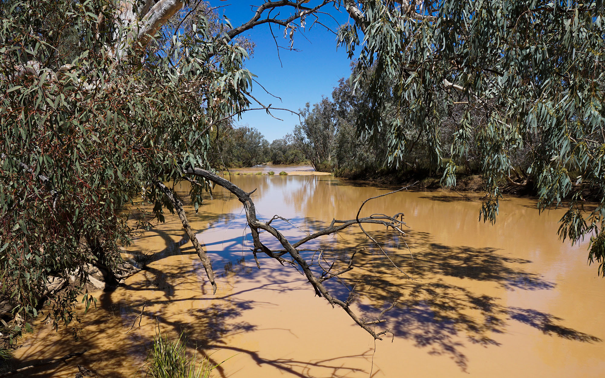
Rivers and tributaries
Most of the small streams within the NSW portion of the Lake Frome catchment terminate in shallow lakes and floodouts in the Strzelecki Desert, contributing no run-off into Lake Frome.
The major creeks from south to north are Morphetts Creek, Teika Creek, Floods Creek, Packsaddle Creek, Lake Wallace Creek, Yandaminta Creek and Cooney Creek. Streams north of Milparinka flow towards Lake Callabonna in South Australia, with Yandama and Tilcha creeks the major streams in the area.
Lake Bancannia catchment features several ephemeral lakes with their own local drainage systems. The major ones are Yantara, Ulenia, Salt Lake, Bullea, and Bancannia.
The Bulloo River begins in the Gowan Ranges north of Quilpie in Queensland. Its major tributaries are Blackwater, Winbin and Gumbo Gumbo creeks. The river enters Bulloo Lake just north of the NSW border and, during large events, spills south across the border to Caryapundy Swamp and the Bulloo Overflow. Local run-off to the overflow is carried by Berawinnia Creek from the east and Twelve Mile Creek from the west.
Cooper Creek is formed by the junction of the Thompson and Barcoo rivers 40 kilometres north of Windorah in Queensland. The major tributaries are the Barcoo, Thomson, Darr and Alice rivers, and Landsborough, Towerhill and Torrens creeks. The small NSW portion of the catchment drains north via Warri Warri Creek which flows into the Cooper near Noccundra in Queensland.
Water storages
There are no major storages in the region.
Water users
Grazing accounts for 90 per cent of the region's land use. Most surface and groundwater use is for stock, domestic and town water supply.
The north-west corner of NSW supports several major ephemeral wetlands recognised nationally and internationally as significant waterbird habitats.
There are over 274,300 hectares of wetlands across the 4 catchments. These include large saline lakes and freshwater lakes that can hold water for very long periods, and extensive floodplain wetlands associated with the Bulloo River.
Access to reliable water supplies in this arid part of the state is an ongoing challenge for industry and town water supply.
Groundwater supplies are generally saline and useful only for stock watering.