About the Paroo
The Paroo catchment has minimal water extraction, and is an important area for water birds.
The Paroo catchment is in north-western NSW, on the northern side of the Darling River near Wilcannia. It is bordered on the east by the Warrego catchment and on the west by the Lake Bancannia and Bulloo catchments that lie outside of the Murray-Darling Basin.
The Paroo River rises south of the Gowan Range in south-western Queensland and drains an area of 74,000 square kilometres, 55 per cent or 40,600 square kilometres of it in NSW. It is one of the major northern tributaries of the Darling River, and is considered the only catchment neither regulated by a dam, nor with significant water extraction.
Settlement is sparse in the Paroo catchment. The major towns are Eulo in Queensland, and Wanaaring and White Cliffs in NSW. The tiny village of Hungerford lies just north of the NSW-Queensland border.
Rivers and tributaries
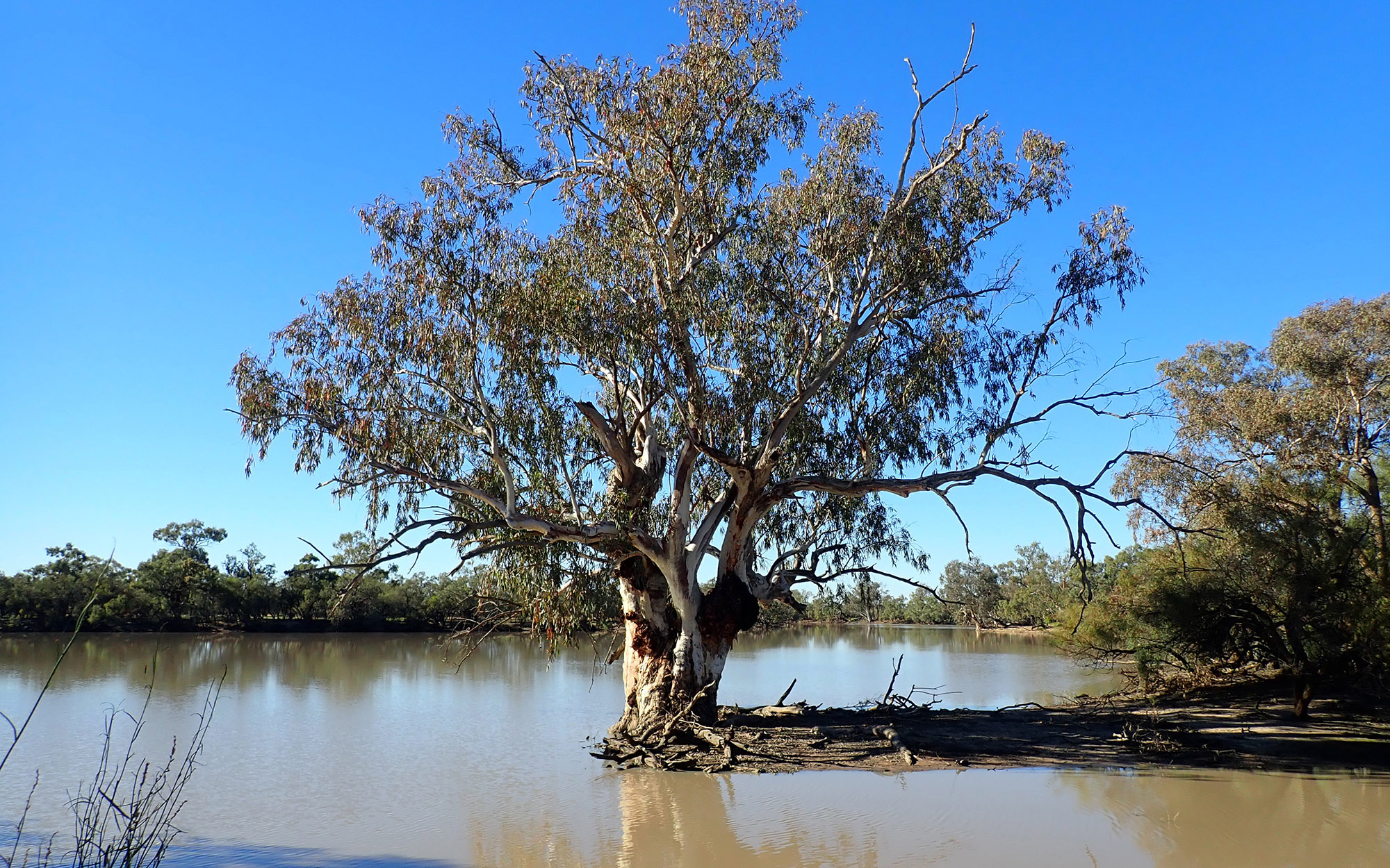
From its origins in the Gowan Range, the Paroo River flows south to south-west, crossing the NSW border at Hungerford. Here it is joined by Cuttaburra and Kulkyne creeks (both effluents of the Warrego River) and the floodplain widens to encompass a complex network of channels and wetlands which are known as the Paroo Overflow. During large floods, water from the Paroo River joins the Darling River just upstream of Wilcannia.
There are no major storages within the catchment.
Water storages
The Barwon-Darling is an unregulated river above the Menindee Lakes. This means its flows are not regulated by a large dam.
There are several major headwater storages in its tributaries, including in the Border Rivers, Gwydir, Namoi, and Macquarie catchments.
However, these dams are too far upstream to regulate flow in the Barwon-Darling River.
The Barwon-Darling contains many weirs which influence water quality and water supply for users along the river.
Water users
Grazing accounts for 90 per cent of the land use in the NSW portion of the catchment. Water is used mainly for stock watering and domestic use.
The wetlands of the Paroo and the Warrego rivers are among the most important areas for waterbirds in the Murray-Darling Basin. The Paroo Overflow is made up of extensive areas of low-lying swamps, channels and overflow lakes that are highly important for the maintenance and survival of waterbird populations in eastern Australia.
The Paroo Lakes are capable of sustaining waterbird populations for up to 15 months longer than other wetlands in the region and are recognised as significant refuges for biological diversity. Two key wetland areas (Nocoleche Nature Reserve and Peery and Poloko lakes) are listed as Ramsar wetlands, while many other sites are identified as nationally important in the Directory of Important Wetlands in Australia.
As well as waterbirds, the Paroo wetlands are habitat for many threatened fauna species and several threatened plant species. The catchment also supports one of the rarest landforms in Australia, the largest complex of artesian mound springs in NSW.
The Paroo River is unregulated and river flows are highly variable. Water users do not have access to a reliable water supply.
Sharing water resources fairly between NSW and Queensland, particularly during drought, is also a key water management issue.
In NSW, water sharing plan rules protect the important environmental assets associated with the Paroo River, setting rules for how water can be accessed, used and traded within the catchment.
While the Paroo is considered a tributary of the Darling River, it flows into the Darling only very rarely during large floods. Nevertheless, plans are in place that prohibit further development of water resources in this catchment, ensuring water take remains within the sustainable diversion limit set by the Murray-Darling Basin Plan.