About the Towamba
Towamba is a small catchment on the far south coast of NSW.
Towamba is located on the far south coast of NSW with a catchment area of about 2,345 square kilometres. The catchment is bounded by the Bega catchment to the north, the Snowy catchment to the west and the Genoa catchment to the south.
Flowing through extensive parts of South East Forest National Park, Towamba River stretches some 86 kilometres in length, continuing down to the northern boundary of Mount Imlay National Park.
The majority of the population is located within the coastal towns of Tathra, Merimbula, Pambula and Eden. The population of these towns increases significantly during summer holidays, placing pressure on town water supplies.
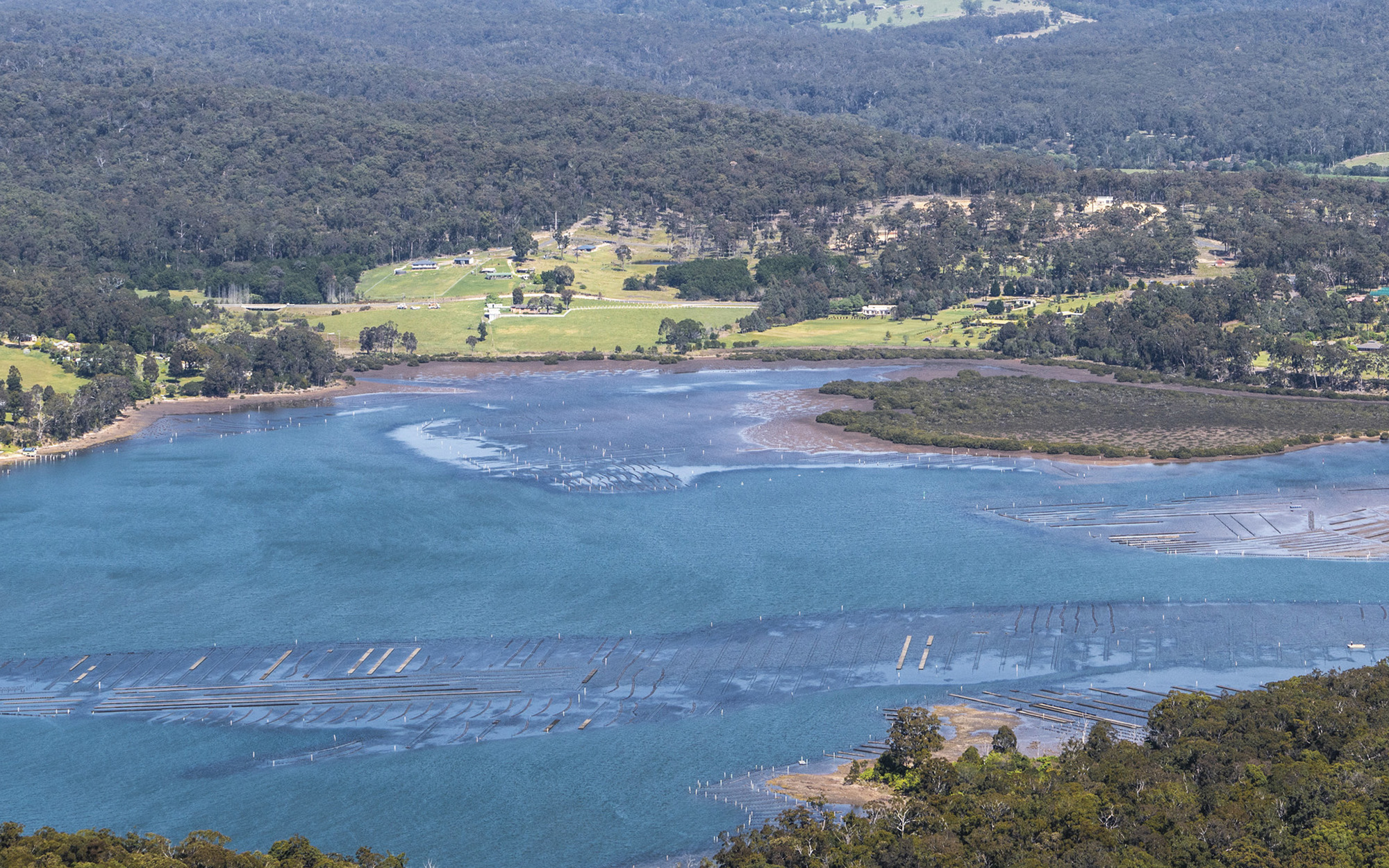
Rivers and tributaries
Some of the larger tributaries to the Towamba River within the catchment include the Wog Wog River, and the Mataganah, Jingo, Reedy, New Station, Back, Stockyard, Black Log, and Cow Bail creeks.
The Wonboyn River is also in the south-eastern part of the catchment.
Water storages
The Towamba River Basin is unregulated. There are no major on-river storages to capture and control flows.
Water users
Major water users include local water utilities, conservation, forestry and cattle grazing.
The greatest agricultural demand for water is stock water and small-scale irrigation of lucerne. There are also a small number of horticultural properties which require irrigation water for fruit and vegetable production, and for orchard maintenance.
Like much of the NSW south coast, the Towamba catchment has a relatively high density of estuaries and coastal lakes.
There are 10 ecologically significant ICOLLs, or intermittently closed and open lakes and lagoons, in the catchment. They include Wallagoot Lake, Merrica Lake, Nadgee Estuary and Nadgee Lake, and 2 ecologically significant estuaries: Towamba and Wonboyn.
Since there are no major storages to capture and control flows, most water users rely on natural flows or small structures, such as weirs for their water supplies. As in most unregulated rivers, flows are most affected during relatively dry times, when water is low and demand is high.
The management of lands along river and creek banks is an important issue that can affect water flow and quality. For example, cattle grazing can damage sensitive riverbank vegetation resulting in erosion, and forestry can reduce rainfall run-off into rivers, creeks and streams.