About the Tuross
The Tuross is a smaller catchment on the NSW south coast.
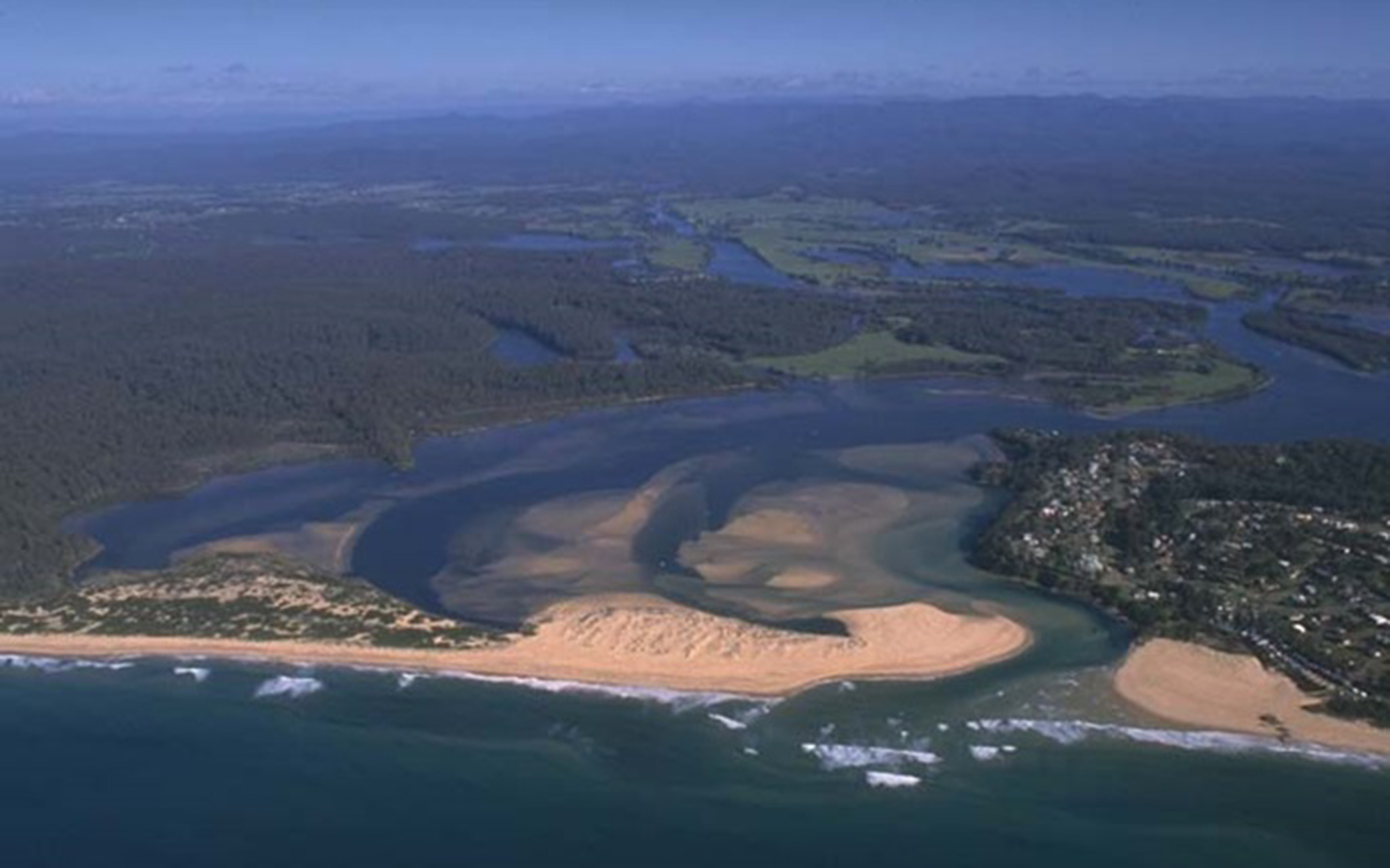
The Tuross catchment is located on the NSW south coast between the Bega and Moruya catchments. It has an area of 2,180 square kilometres.
The Tuross River is over 140 kilometres long and flows generally north, east and northeast. It rises in the eastern slopes of the Kybeyan range, a part of the Great Dividing Range.
Major towns in the area include Narooma, Tuross Heads and Bodalla.
Rivers and tributaries
The largest tributary of the Tuross River is Wandella Creek. There are many smaller tributaries, including Belimbla, Wadbilliga Hole, Myrtle, Woila, and Bumberry creeks, and the Wadbilliga River.
Water storages
Most of the rivers and creeks in the Tuross River Basin are unregulated. There are no major storages to capture and control flows.
Water users
Major water users in the area include Eurobodalla Shire Council, forestry, agriculture and oyster farming.
The Tuross catchment contains the Badja, Bodalla and Dampier state forests, as well as part of the Moruya State Forest and part of Wadbilliga National Park.
Since there are no major storages to capture and control flows, most water users rely on natural flows or small structures, such as weirs for their water supplies. As in most unregulated rivers, flows are mostly affected during relatively dry times, when water is low and demand is high.
The management of lands along river and creek banks is an important issue that can affect water flow and quality. For example, cattle grazing can damage sensitive riverbank vegetation resulting in erosion. Development along the coastal fringe can alter natural waterways and increase water pollution.