About the Warrego
The Warrego is an important catchment for waterbirds in the Murray-Darling Basin.
The Warrego catchment is in north-western NSW, on the northern side of the Darling River near Bourke. It is bordered by the Culgoa catchment in the east, and the Paroo catchment in the west.
The Warrego River is a major northern tributary of the Darling River. It begins in the Carnarvon Ranges on the Great Dividing Range in Queensland and flows south for around 800 kilometres, where it joins the Darling River upstream of Louth. The landscape of the lower Warrego catchment is generally flat with elevations decreasing from 140 metres at the Queensland border, to around 80 metres at the end of the catchment near Louth.
The Warrego River drains a total area of 62,900 square kilometres, with around 18 per cent of the catchment, or 11,275 square kilometres, within NSW.
There are no towns in the NSW portion of the catchment. However, there are small villages are located along the river at Barringun, Enngonia, and Fords Bridge. Bourke is the nearest major service centre for those living in the NSW catchment.
Rivers and tributaries
The Warrego River rises in the Carnarvon Ranges in central Queensland. Its major tributaries include the Nive, Langlo and Ward rivers. South of Cunnamulla the river becomes a complex river system with flows leaving the river via Cuttaburra Creek and various anabranches such as Irrara Creek.
The river crosses the NSW-Queensland border at Barringun and generally ends in large swamps and storages on the property of Toorale near Louth. The NSW Government's purchase of this property in 2009 has increased the volume of water from the Warrego entering the Darling River during floods.
Water storages
There are no major water storages within the catchment.
Water users
Grazing accounts for 96 per cent of all land use within the Warrego catchment. Water is used for irrigation, stock watering and domestic supplies.
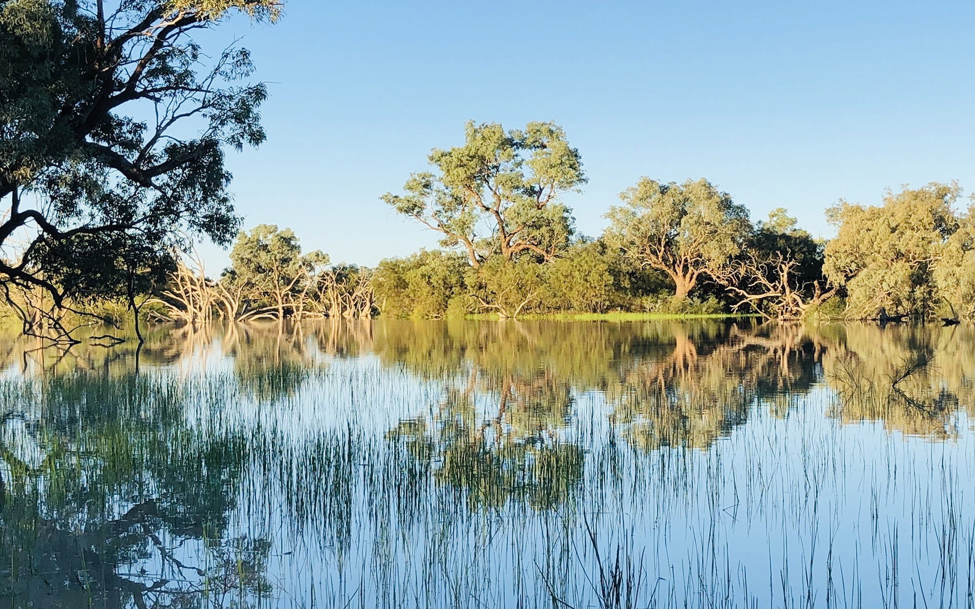
There are over 300,000 hectares of wetlands in the Warrego catchment including saline lakes, lignum swamps, flood channels, freshwater lakes, claypans and semi-permanent water holes.
Twelve wetlands are considered of national significance and are included in the Directory of Important Wetlands in Australia. The wetlands of the Warrego and adjacent Paroo River are considered the most important area for waterbirds in the Murray-Darling Basin.
Sharing water resources fairly between NSW and Queensland, particularly during drought, is also a key water management issue.
Water from the Warrego flows into the Darling River only during large floods. The capture and storage of floodwaters by Queensland water users during these floods is a key concern for downstream water users.
Water users along the basin's unregulated creeks and streams do not always have access to a reliable water supply due to the highly variable nature of flows in the basin and unreliable rainfall patterns.