About the Wollongong catchment
Wollongong is a narrow coastal catchment south of Sydney.
The Wollongong catchment is in the Illawarra, south of Sydney and the Georges catchment, and north of the Shoalhaven catchment. It has a catchment area of 751 square kilometres.
The catchment is a thin coastal strip bound in the west by the Illawarra Escarpment with a high density of urban and industrial development. Rural development is constrained to the hinterland and to the south of the basin surrounding Kiama.
The major towns in the area include Wollongong, Shellharbour and Kiama.
Rivers and tributaries
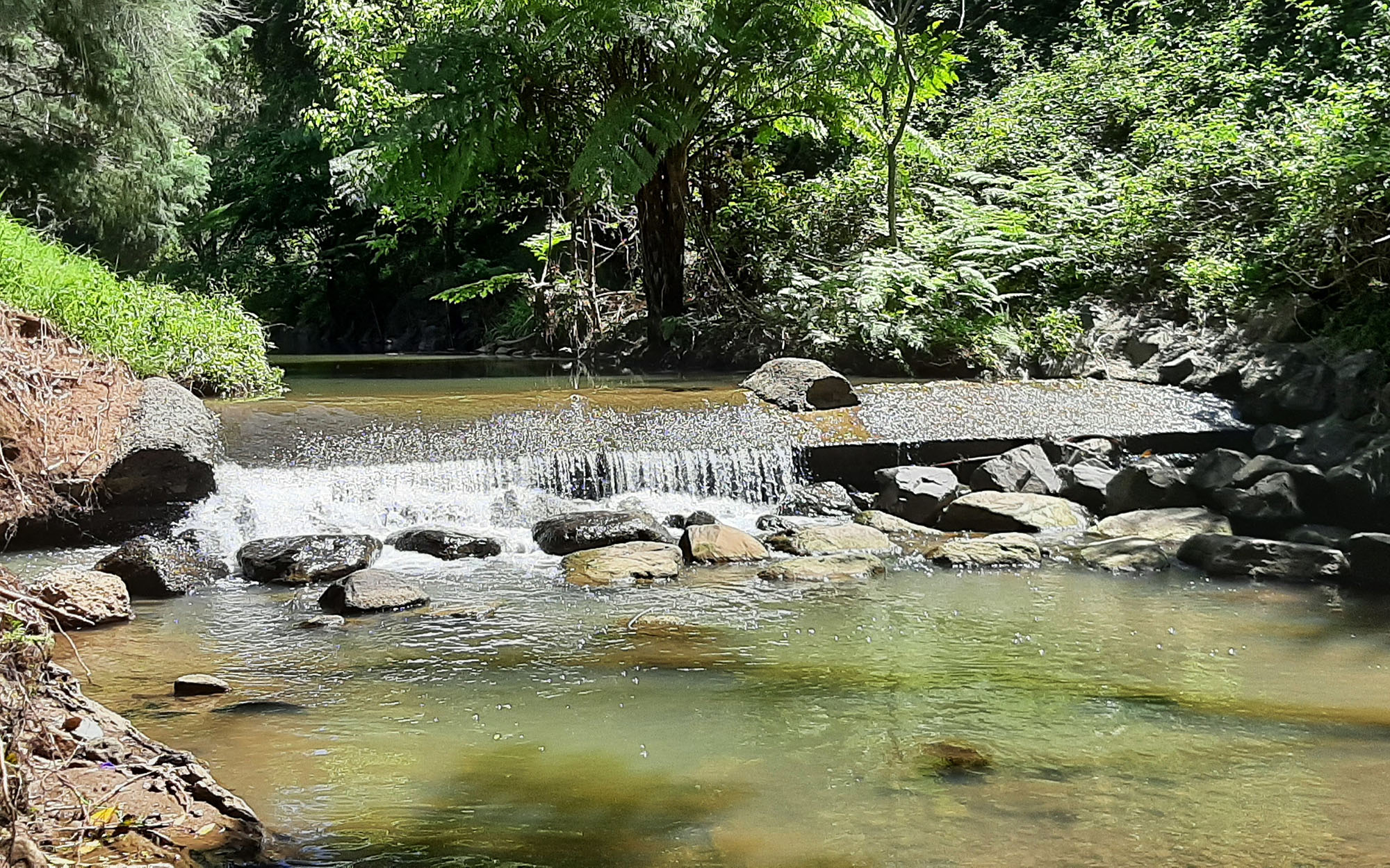
Rivers and tributaries in the catchment include the Macquarie Rivulet and Minnamurra River.
Water storages
Major water users in the area include WaterNSW, local councils, mining, steelworks, tourism and dairy farming.
Water users
Water users along the Barwon-Darling rely on the river for town water supply, livestock grazing, and irrigated agriculture including cotton, citrus, grapes, and vegetables. The cotton and citrus industries in the catchment are significant water users.
The catchment contains the Royal National Park and the Macquarie Pass National Park, as well as state forests and state conservation areas. These include Killalea State Park, a pristine coastal conservation reserve.
Preserving water quality in the catchment helps to protect these important conservation areas.
As in most unregulated catchments, flows are mostly affected during relatively dry times, when water is low and demand is high.
Key water management issues in the area include water quality, including managing pollution and algal growth, particularly in coastal lakes, managing riverbanks to limit the effects of urban and industrial development, and ensuring sufficient flows to maintain river health.