About the Murray Riverina catchment
The Murray River is a major arm of the Murray-Darling Basin, which drains most of inland NSW, northern Victoria and south-western Queensland. It is regulated by Hume Dam 16 kilometres upstream of Albury.
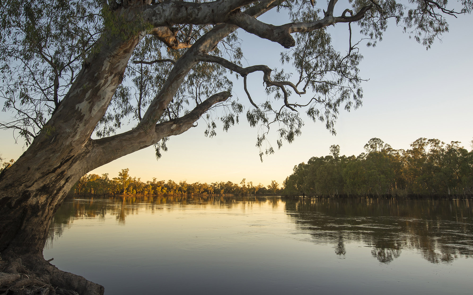
The Murray River is in southern NSW and forms the NSW-Victorian border for 1,880 kilometres. It is bordered by the Murrumbidgee catchment to the north and the Benanee and Lower Darling catchments in the west. The Murray River begins in the Southern Alps of NSW and Victoria, and flows in a westerly direction for over 2,500 kilometres to its outlet near Goolwa on the South Australian coast.
Around half of the population in the catchment lives in the city of Albury, the largest urban centre. Other large towns in the catchment are Corowa and Deniliquin in NSW, and Swan Hill across the river in Victoria.
The Murray Riverina is the regulated portion of the Murray River, from Hume Dam to the Murrumbidgee River junction, with an area of 14,950 square kilometres. For information on the catchment upstream of Hume Dam visit Upper Murray catchment.
Rivers and tributaries
Downstream of Hume Dam, the Murray River develops a much wider floodplain with many billabongs and lagoons. The Kiewa River and Ovens River, 2 major tributaries from Victoria, enter the Murray River between Albury and Yarrawonga.
Downstream of Yarrawonga, a complex series of effluent channels break away from the river, distributing water across the northern floodplain. These effluents were established about 30,000 years ago when a north-south ridge called the Cadell Fault formed across the channel of the Murray River, diverting its waters northwards. Eventually the river cut a new path through the fault line, linking up with the Goulburn River to form its current course.
Major tributaries and anabranches in this region are the Edward River, Wakool River, Niemur River, Billabong Creek, Yallakool Creek and Colligen Creek. All these streams are regulated. Major tributaries from Victoria entering the river downstream of Yarrawonga are the Goulburn, Campaspe and Loddon rivers.
Water storages
Hume Dam (3,038,000 megalitres) is the main operational storage for the Murray River. It has been supplying regulated water to the Murray River system since 1936.
Dartmouth Dam (3,906,000 megalitres) on the Mitta Mitta River in Victoria is the largest storage in the catchment. It is operated in conjunction with Hume Dam to supply water users along the Murray River.
Eildon Dam (3,390,000 megalitres) in the headwaters of the Goulburn River in Victoria, supplies the Goulburn-Murray Irrigation District in Victoria.
Water users
Hume and Dartmouth dams provide a regulated supply of water along the Murray River and its NSW effluents to support a diverse range of water users including local councils and water utilities, forestry, tourism and agriculture. The main industries supported by this water source are wheat, rice, dairy, beef, wool, lamb, grapes and citrus.
The river red gum forests of the Murray and Edward-Wakool rivers are listed as Wetlands of International Importance under the Ramsar Convention. In 2010 the NSW government declared these forests as a national park to conserve the largest area of river red gums in the world.
Over 262,000 hectares of wetlands are located within the Murray Riverina catchment. Many of these wetlands have been affected by changes to their hydrology as a result of river regulation. Some of these sites are now being actively restored through removal of regulating structures and targeted delivery of environmental flows through the Living Murray program.
The Murray River is one of the most highly regulated rivers in NSW. Water resources are shared between NSW, Victoria and South Australia under the Murray-Darling Basin Plan. Sharing water resources fairly between the states, particularly during drought, is a key water management issue.
Between 2000 and 2010, river flows reached record lows, and extraordinary water sharing arrangements were implemented to secure water supplies for towns and critical water-dependent industries. Securing enough water for critical human needs, while trying to protect and maintain riverine health, is a key challenge.
The alteration of natural river flows combined with the effects of land clearing have affected the health of wetlands and riverine environments in the catchment and contributed to water quality problems, such as salinity.