
About the program
The Improving Floodplain Connections program fast-tracks the process of bringing unapproved or non-compliant flood works into compliance across more than 100 priority areas in the northern Basin.
Without targeted funding, the work would take 15 years to complete. Through the Improving Floodplain Connections program, outcomes in connectivity will happen much faster.
The Improving Floodplain Connections program complements the floodplain management reforms introduced by implementing the NSW Floodplain Harvesting Policy. Unapproved flood works will not be authorised for floodplain harvesting, and this program will bring existing non-compliant flood works into alignment with current rules.
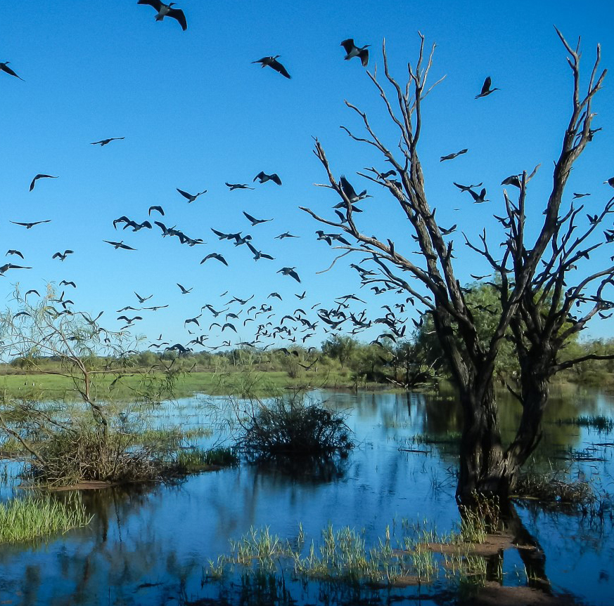
Improving how water flows across our floodplain
Watch the video
Learn how water flows across our floodplain.
Managing impacts
Structures likely to alter the flow of floodwater on or across a floodplain are called flood works. Flood works can alter the flow of floodwater and cause social, economic, environmental, and cultural impacts. Ensuring flood works comply with the rules allows these impacts to be managed appropriately.
Over several decades, changes to legislation, policy and the development of floodplain management plans have resulted in many unapproved flood works in the northern NSW Murray-Darling Basin. These structures include levees, embankments, above-ground storage, and access roads.
To manage the impacts of these structures, flood works must meet the rules of the appropriate floodplain management plans.
Priority areas
More than 100 priority areas have been identified in the five northern Murray-Darling Basin valleys of Border Rivers, Gwydir, Namoi, Macquarie and Barwon-Darling.
Within each area, there may be one or several flood work structures, with some unapproved and some approved.
The priority areas were selected after an extensive assessment. The prioritisation process identified those locations where action under the program could produce the most benefit for floodplain connectivity. Prioritisation included analysis of hydraulic, ecological, and cultural impact. These impacts were assessed as part of a multi-criteria analysis.
As the program progresses, additional areas of concern may be prioritised for possible inclusion and for the notice of NRAR (Natural Resources Access Regulator).
Next steps
Work is underway in priority areas. Landholders have been contacted to collect initial information and assess the compliance situation of each flood work.
Where a flood work can be compliant through an approval or approval with modification, the program will provide technical support to assist the landholder with preparing an application for approval. Application fees will be waived.
NRAR will work with landholders who are required to remove the flood work to comply. Landholders will be responsible for all construction costs related to either the modification or removal of the structure.
You can read more about how priority flood works will be brought into compliance in the Improving Floodplain Connections: Decision support principles and processes fact sheet (PDF, 199.99 KB).
This fact sheet provides detailed information for landholders on the different stages of the program, including the initial assessment, site inspection by NRAR, and the assessment to determine the pathway to compliance. It also explains the roles of the department, NRAR and WaterNSW.
You can track the overall program progress on the Improving Floodplain Connections program status page.
Find information on the status of flood works included in the Improving Floodplain Connections program.
How we will communicate with you
We are committed to keeping stakeholders updated about the Improving Floodplain Connections program and how it might impact them. We will provide regular general updates and be in touch at specific times during the program. Landholders with flood works located within priority areas will also receive direct communication.
| Valley | Stage 1: preliminary assessment | Stage 2: consultation | Stage 3: removal/modification |
|---|---|---|---|
| Border Rivers (pilot) | Q3 2022 - Q2 2023 | Q1–Q2 2023 | Q1 2023 – ongoing |
| Gwydir | Q1–Q2 2023 | Q1–Q4 2023 | Q3 2023 – ongoing |
| Barwon-Darling | Q1–Q2 2023 | Q1–Q4 2023 | Q3 2023 – ongoing |
| Macquarie | Q1–Q4 2023 | Q3 2023–Q2 2024 | Q1 2024 – ongoing |
| Namoi | Q1–Q4 2023 | Q3 2023–Q2 2024 | Q1 2024 – ongoing |
Funding the program
The Improving Floodplain Connections program is jointly funded by the Australian Government ($10.196 million) and the NSW Government ($1.08 million). It is being delivered by the Department of Climate Change, Energy, the Environment and Water, NRAR and WaterNSW, in collaboration with the Department of Primary Industries.
Useful links
Frequently asked questions
Visit our FAQ page to find answers to commonly asked questions and gain a better understanding about harvesting floodplains.