In New South Wales we manage groundwater at two scales:
- a regional level known as the 'water source' scale, and
- a local level between individual bores.
Learn more about how we manage groundwater in NSW
How is groundwater managed in NSW?
The volume of water that can be taken from a water source is defined in the water sharing plan for that water source. Water sharing plans apply to all surface water and groundwater in NSW. They manage water extraction for use by irrigators, industry, towns and communities to ensure there is water for the environment. The withdrawal of groundwater in 240 water sources across NSW is managed by 50 water sharing plans.
Water sharing plans for groundwater sources aim to:
- minimise extraction impacts on groundwater dependent ecosystems
- minimise extraction impacts on cultural and spiritual values of groundwater
- protect the structural integrity of aquifers and groundwater quality
- ensure no long-term declines in water levels
- preserve basic landholder rights access to groundwater
- ensure fair, equitable and reliable access to users of groundwater
- enable water trading between users.
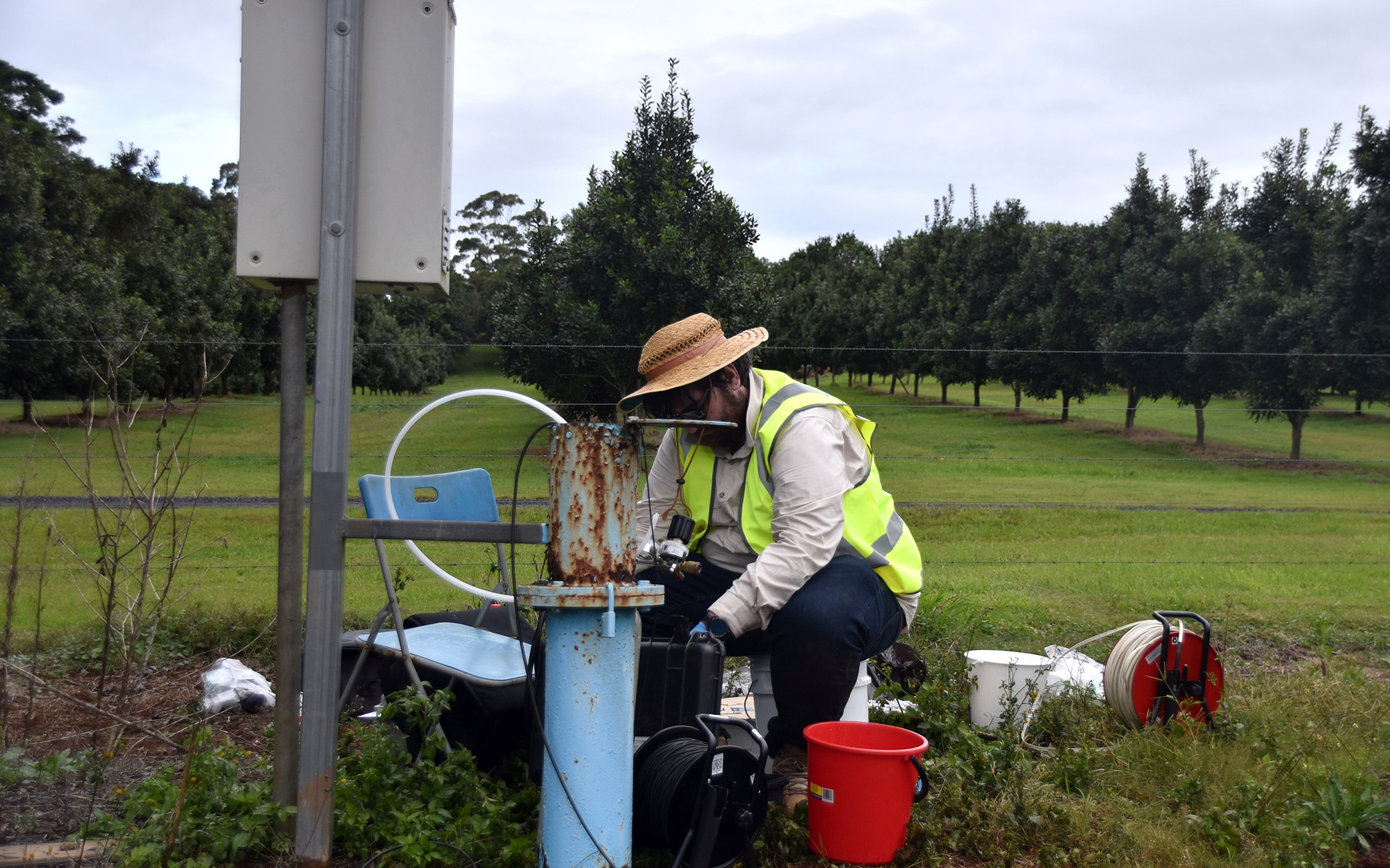
When groundwater is withdrawn from a bore, the water level declines immediately around the bore. The depth and extent of this ‘cone of depression’ varies depending on the characteristics of the groundwater system. When there are several bores in an area, the water level can decline over a larger area. To ensure these local impacts are monitored and managed, all applications for new bores and trades are individually assessed.
Groundwater sources are divided into four broad hydrogeological types:
- alluvial (unconsolidated sediments)
- coastal sand (unconsolidated sediments)
- porous rock (consolidated sedimentary rocks)
- fractured rock (igneous and metamorphic rocks).
A groundwater source can include a number of groundwater systems based on geological formation types. Groundwater sources can overlie one another causing part or all of another groundwater source to be buried.
Information for groundwater users during drought
We have prepared a number of additional information resources aimed at assisting water users impacted by drought. Groundwater users may find the groundwater and drought fact sheet (PDF, 270.34 KB) useful.
New or additional bore applications may need to be supported by the results of a pumping test. Find out when a pumping test is required (PDF, 2876.18 KB).
Allocation of groundwater
At the start of each water year on 1 July we announce available water determinations for groundwater. An available water determination allocates water to licensed groundwater users. Water sharing plans set how much water can be taken from a groundwater source. The volume of water a licence holder can extract each year is set by the water account rules in the water sharing plan. Water access licences authorise a licence holder to take water from a particular groundwater source. The licence holder receives their water allocation upon an available water determination announcement. Our Available water determinations for groundwater fact sheet (PDF, 298.7 KB) provides more detailed information.
An available water determination allocates water to a category of access licence. There are various categories of access licence. For example, town water supply or aquifer access licences. Each water access licence has a water allocation account. An available water determination adds, or credits, water to the water allocation account. Physical take of water subtracts, or debits, water from the water allocation account.

Figure 1. Available water determinations add water to water allocation accounts. Each category of access licence has a water allocation account.
On 1 July, licensed users receive an opening allocation for each licence category. This may be anywhere between 0% and 100% of their entitlement. The volume of water a licence holder can extract each year is set by the water sharing plan rules.
Water sharing plan limits and compliance triggers
Water sharing plans set a long-term average annual extraction limit for each groundwater source. These limits are measured on a rolling average annual basis. This means that in some years licence holders can pump higher volumes than the annual limit. Water sharing plan rules set time limits on how long this can continue.
Water sharing plans state how to manage compliance with extraction limits. This varies between plans. There is usually a 5% or 10% exceedance level above the plan’s limit, which we call the compliance trigger. We measure average annual extraction using either a three- or five-year rolling period. Then we apply the compliance trigger.
If the rolling average goes over the compliance trigger, we may announce a reduced available water determination in the following water year. This is necessary to return extraction to within the plan’s limit. This means that licence holders will not receive their full entitlement.
Available water determination assessment
We consider a range of factors when determining the allocation of water to users. Before 1 July, we check the rolling average annual extraction against the plan’s limit for compliance. When the rolling average annual extraction exceeds the compliance trigger in a groundwater source, we must reduce the available water determination.
Figure 2 shows the rolling average annual extraction tracked against the plan’s limit and the compliance trigger. In this case, it is a five-year rolling average and a 5% compliance trigger.

Figure 2. Five-year average annual extraction exceeds the extraction limit plus the compliance trigger, leading to reduced available water determinations.
Our assessment considers many factors. Download our fact sheet (PDF, 298.7 KB) for more information on available water determination assessment.
Available water determination announcements
We announce available water determinations on our website. After announcing an available water determination, we credit water allocation accounts as advised in the determination.
Aquifer interference activities
What is an aquifer interference activity?
An aquifer interference activity is an activity that:
- penetrates an aquifer
- interferes with groundwater in an aquifer
- changes or obstructs groundwater flow in an aquifer
- takes groundwater from an aquifer
- disposes of water taken from an aquifer.
The NSW Water Management Act 2000 identifies the scope of aquifer interference activities.
What kind of activities are included?
Many projects fall within the definition of aquifer interference activities. The NSW Aquifer Interference Policy (PDF, 505.49 KB) discusses the requirements applying to aquifer interference activities.
High risk aquifer interference activities include:
- mining activities (open cut and underground mines)
- extractive industries (sand and gravel pits, dredging operations or quarries)
- coal seam gas exploration and production
- construction dewatering (buildings, transport projects or civil works)
- injection works
- potentially contaminating activities
- activities that can damage the structural integrity of an aquifer.
How are aquifer interference activities licensed?
Aquifer interference activities need a water access licence if there is a take of groundwater, unless an exemption applies. The water access licence allows the activity to take a share of the groundwater source. This allows us to manage water resources within sustainable limits. Our licensing web page has more information.
Works used in the taking of groundwater by an aquifer interference activity need an approval, unless an exemption applies. These could be one or more of a water supply work approval, flood work approval, water use approval, or controlled activity approval. Such approvals help us manage the local impacts of proposed activities on the aquifer, other users and the environment.
At this time, aquifer interference activity approvals are not available. See our approvals web page for more information.
Even if an exemption for a licence or approval applies, the taking of water from a water source has conditions to be complied with.
Guidance for groundwater investigations
We have developed a guideline for integrated development where excavation is required for a building project. The guideline describes the scope of groundwater investigations necessary. These investigations help us to assess the local impacts of a building project. They also help us to make recommendations to WaterNSW or the Natural Resources Access Regulator on licensing or approval conditions.
Read Minimum requirements for building site groundwater investigations and reporting (PDF, 774.96 KB).
Managing impacts from coal mining and coal seam gas
As part of managing groundwater resources in NSW, we monitor the potential impacts that coal mining and coal seam gas extraction may have on the state's water resources. This is in addition to the proponent’s monitoring network. We manage impacts from coal and coal seam gas projects by using the best available information as part of our decision making.
The NSW government maintains a groundwater database that includes information on the:
- depth of each bore
- formation/rock types that have been drilled through
- depth of aquifers intersected by the bore
- depth to water in the completed bore
- estimated bore yield
- construction details of the bore.
This information provides an insight into the groundwater conditions for an area. Real time data on telemetered bores throughout NSW is available to view.
Through regulation, monitoring and assessment, we manage the potential effects of extractive industries, such as coal mining and coal seam gas, on water resources in NSW.
What is coal seam gas?
Coal seam gas (CSG) is a form of natural gas found in coal seams formed over millions of years. In NSW, the coal seams targeted for gas production are generally between 200 metres and 1000 metres below the ground. CSG is primarily methane with small amounts of other gases.
CSG differs from shale gas which the USA have a significant industry for. Due to the nature of shale, it generally requires extensive hydraulic fracturing (also known as fracking) to extract the gas. CSG does not necessarily require hydraulic fracturing, this depends on geological characteristics. In NSW, there is no shale gas extraction.
Why extract coal seam gas?
As energy demands continue to grow in Australia, CSG has the potential to become an important energy source. CSG is used as fuel for heating, cooking and to produce electricity. It can also be converted to liquefied natural gas (LNG).
CSG burns cleaner and more efficiently than coal. As an alternative lower carbon energy source it produces less greenhouse gas emissions than coal per unit of energy supplied.
How is it extracted?
CSG occurs within coal seam beds. It is kept in place by the pressure of groundwater and the overlying geological formations. To extract the gas, the water pressure in the coal seam is lowered by pumping water from the coal seam to the ground surface through a CSG well, a specially constructed well.
This diagram (JPG, 195.44 KB) shows what happens to groundwater flow when a coal seam gas production bore is operating. In most situations the vertical component of water flow is much smaller than the horizontal component as shown by the arrow sizes.
How are coal seam gas impacts on water regulated?
Exploration and production activities for CSG and their potential impacts on water sources are regulated by both NSW and Commonwealth government agencies.
A range of measures have been introduced in NSW. In 2011 the NSW Government banned the use of BTEX chemicals in CSG hydraulic fracturing fluids and banned the use of evaporation basins for the disposal of CSG produced water.
The NSW Aquifer Interference Policy (2012) ensures that potential impacts on groundwater sources from CSG and other mining activities are subject to comprehensive assessment and licensing requirements. Two codes of practice applying to hydraulic fracturing and CSG developments were released by the NSW Government in 2012 to strengthen the controls applying to gas exploration and production. The NSW Gas Plan provides a framework for best practice regulation of the gas industry in NSW.
Water Monitoring Strategy – NSW Coal Basins
We manage potential impacts from coal mining and coal seam gas extraction through increased understanding of groundwater resources in NSW. Find out more about the Water Monitoring Strategy for Coal Basins in NSW project.