How climate data supports water planning
To understand our available water resources, we need climate data.
Until recently, we relied on a data record dating back only to the 1890s. This is a relatively short period that limits how well we understand uncertainty about future water availability.
To address this, we have improved the climate data we use for strategic water planning. We are using a new four-step approach to better understand past and future climate risk.
- Historical data – in the first step, we analyse past 130 years of recorded climate data and the climate drivers that influence past and present climate. This gives us an understanding of the variability of our climatic system, but we recognise that 130 years is not enough to understand the likelihood of extreme events, especially long-term droughts.
- Paleoclimate data - using scientific methods, we are supplementing our historical record of climate conditions with new paleoclimate data (reconstructed from sources such as tree rings, cave deposits and coral growth). Combining these two elements gives us over 500 years of climate data.
- Stochastic methods - we can then use a stochastic modelling method (based on the statistical characteristics of the new climate data) to help us quantify climate variability. This type of modelling tells us much more about possible climatic extremes and the natural variability in the climate.
- Climate projections – we can then apply the NSW Government’s climate projections to this new data set to understand the impacts if climate change scenarios eventuate.
The figure below illustrates our approach. Also available to download in high resolution JPG, 847.58 KB.

Climate data and water modelling
We need climate data to build and use the water models that inform how water is shared in NSW to meet community needs.
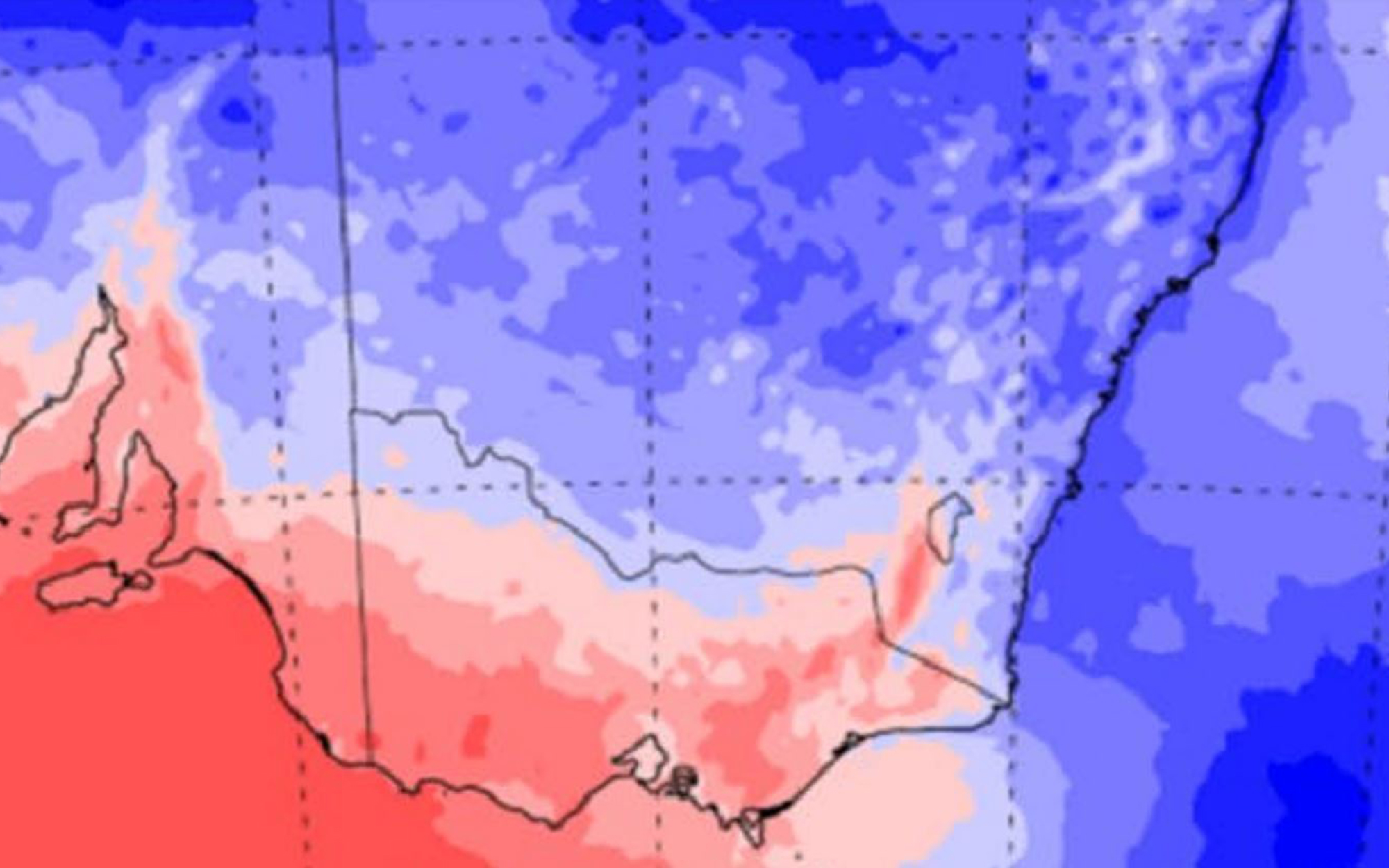
We use rainfall and evaporation data in our models to understand how river systems work. The models allow us to simulate important water balance components such as how much water flows into a river system from its catchments, how much water is being diverted from the system for human needs, how well environmental watering requirements are being met, and how much water is available to irrigate crops and for other industry.
Learn more about our water modelling
Climate observations and paleoclimate data
Observed state-wide climate data suitable for use in our water models is available from the late 19th century. This data is managed by the Bureau of Meteorology.
We can use paleoclimate data to understand what the climate was like before our observed records began. Paleoclimate data are natural records of climate such as tree rings, cave deposits, lake sediments and ice cores. Because we know how these natural records correspond with particular climate conditions, we can use them to build a record of past climate.
Paleoclimate data show us that regional climate was much more variable before our observations began. In particular, there were much longer and more severe droughts. Such droughts are not only possible in future, but likely.
How we developed the extended climate data
We worked with researchers from the University of Adelaide and the University of Newcastle to develop the approach to statistically extend the climate data and integrate projections of climate change.
Find out more about how we developed the data in our first published report
We also asked an independent panel of climate experts convened by the Office of the Chief Scientist and Engineer to review and assess the method and provide recommendations. Read our response to their review.
How we use the extended climate data
We are using the extended climate datasets as inputs to our water models, to support strategic water planning in NSW.
The extended data will help us gain a more comprehensive understanding of how well we are meeting outcomes for water-dependent sectors. They will also help us to identify vulnerabilities and opportunities, and to assess our options for policy and infrastructure responses.
We also use the extended data in environmental impact assessments and business plans when we consider infrastructure proposals.
Read the reports
See our suite of reports for full details of how we developed the extended climate datasets:
Consultants reports
We have engaged researchers to help develop our climate data sets and our understanding of climate trends and future climate.
The following two reports by University of Adelaide assessed our historical observational climate data
The following four reports by University of Adelaide describe the stochastic modelling for the inland regions.
- Methodology report for multisite rainfall and evapotranspiration data generation of the Northern Basins
- Multisite rainfall and evaporation data generation for the Macquarie Valley
- Evaluation report for multisite rainfall, evapotranspiration and temperature data generation of the southern region
- NARCliM 1.5 projections and stochastic simulations over the southern basin
The following report by Alluvium, University of Adelaide and University of Tasmania review the oceanic and atmospheric drivers that influence rainfall patterns in NSW and the ability of the global climate models to represent these