A NSW Government website

Allocations

Water allocation statements

Issued to confirm the sharing of available water for a specific water source or announce an increase in an allocation to a licence category.

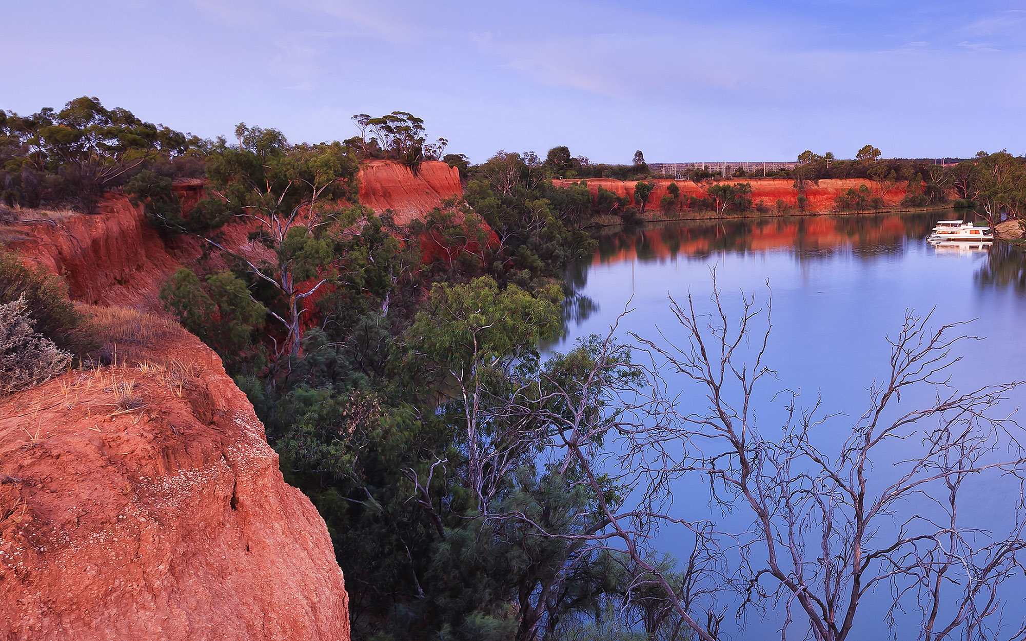
Red cliffs of Murray river on the border between Victoria and New South Wales states of Australia. Elevated red bank of the river overlooks river bend with cruise ship at sunset.

What are water allocation statements?

Water allocation statements are issued to announce allocations for a specific water source and licence category. These statements may also be issued to provide a summary of current allocations, outlook and possible future water availability scenarios for major river valleys and systems.

When an opportunity to access a supplementary flow event occurs, the department approves such events and WaterNSW issues ‘Supplementary announcements’.

During times of drought, the prevailing drought stage for each river valley is included in statements. The drought stage is determined in accordance with the critical trigger levels outlined in the incident response guides (IRGs) developed by the department. Further information on the IRGs is available at extreme events.

Water allocation statements for the current year and past five years can be accessed below.

2023

Date Water source
08/12/2023 Lachlan Valley (PDF, 978.8 KB)
07/12/2023 Gwydir Valley (PDF, 973.9 KB)
07/12/2023 Namoi Valley (PDF, 1.0 MB)
07/12/2023 NSW Border Rivers (PDF, 776.0 KB)
01/12/2023 NSW Murray and Lower Darling (PDF, 683.4 KB)
01/12/2023 Murrumbidgee Valley (PDF, 1.1 MB)
29/11/2023 Bega-Brogo Valleys (PDF, 507.4 KB)
27/11/2023 Hunter Valley (PDF, 859.9 KB)
17/11/2023 Belubula Valley (PDF, 588.0 KB)
16/11/2023 Richmond Valley (PDF, 495.0 KB)
15/11/2023 Murrumbidgee Valley (PDF, 1.3 MB)
10/11/2023 Macquarie-Cudgegong Valleys (PDF, 400.6 KB)
08/11/2023 Lachlan Valley (PDF, 251.1 KB)
07/11/2023 Gwydir Valley (PDF, 373.9 KB)
07/11/2023 Namoi Valley (PDF, 280.9 KB)
01/11/2023 Murrumbidgee Valley (PDF, 221.8 KB)
31/10/2023 NSW Border Rivers (PDF, 153.3 KB)
16/10/2023 Murrumbidgee Valley (PDF, 226.6 KB)
12/10/2023 Macquarie-Cudgegong Valleys (PDF, 338.8 KB)
10/10/2023 Lachlan Valley (PDF, 288.2 KB)
09/10/2023 Namoi Valley (PDF, 275.6 KB)
09/10/2023 Gwydir Valley (PDF, 291.6 KB)
03/10/2023 Murrumbidgee Valley (PDF, 220.5 KB)
28/09/2023 Paterson Valley (PDF, 102.1 KB)
28/09/2023 NSW Border Rivers (PDF, 255.8 KB)
22/09/2023 Peel Valley (PDF, 96.6 KB)
19/09/2023 Richmond Valley (PDF, 132.3 KB)
15/09/2023 Murrumbidgee Valley (PDF, 226.7 KB)
12/09/2023 Macquarie-Cudgegong Valleys (PDF, 329.6 KB)
08/09/2023 Lachlan Valley (PDF, 332.2 KB)
07/09/2023 Namoi Valley (PDF, 274.9 KB)
07/09/2023 Gwydir Valley (PDF, 458.3 KB)
01/09/2023 Murrumbidgee Valley (PDF, 223.5 KB)
29/08/2023 Hunter Valley (PDF, 290.3 KB)
18/08/2023 Bega-Brogo Valleys (PDF, 187.0 KB)
16/08/2023 Belubula Valley (PDF, 174.7 KB)
15/08/2023 Murrumbidgee Valley (PDF, 217.2 KB)
10/08/2023 Macquarie-Cudgegong Valleys (PDF, 351.3 KB)
08/08/2023 Lachlan Valley (PDF, 231.4 KB)
07/08/2023 Gwydir Valley (PDF, 215.0 KB)
07/08/2023 Namoi Valley (PDF, 253.5 KB)
01/08/2023 Murrumbidgee Valley (PDF, 210.2 KB)
21/07/2023 NSW Border Rivers (PDF, 131.0 KB)
17/07/2023 NSW Murray and Lower Darling (PDF, 287.5 KB)
17/07/2023 Murrumbidgee Valley (PDF, 190.9 KB)
12/07/2023 Macquarie-Cudgegong Valleys (PDF, 365.6 KB)
10/07/2023 Lachlan Valley (PDF, 249.4 KB)
07/07/2023 Gwydir Valley (PDF, 170.1 KB)
07/07/2023 Namoi Valley (PDF, 200.2 KB)
01/07/2023 NSW Unregulated River Water Sources (PDF, 59.2 KB)
01/07/2023 NSW Regulated River Water Sources (PDF, 144.0 KB)
01/07/2023 NSW Groundwater Sources (PDF, 196.1 KB)
08/06/2023 Lachlan Valley (PDF, 236.0 KB)
07/06/2023 Namoi Valley (PDF, 247.6 KB)
07/06/2023 Gwydir Valley (PDF, 169.5 KB)
29/05/2023 Macquarie-Cudgegong Valleys (PDF, 258.5 KB)
24/05/2023 NSW Border Rivers (PDF, 122.0 KB)
19/05/2023 NSW Groundwater Sources (PDF, 197.0 KB)
19/05/2023 Bega-Brogo Valleys (PDF, 168.4 KB)
18/05/2023 Belubula Valley (PDF, 176.2 KB)
15/05/2023 Murrumbidgee Valley (PDF, 84.5 KB)
15/05/2023 NSW Murray and Lower Darling (PDF, 89.9 KB)
05/05/2023 Lachlan Valley (PDF, 210.5 KB)
05/05/2023 Gwydir Valley (PDF, 208.0 KB)
05/05/2023 Namoi Valley (PDF, 221.0 KB)
28/04/2023 Hunter Valley (PDF, 571.7 KB)
21/04/2023 Paterson regulated river (PDF, 180.2 KB)
19/04/2023 Richmond regulated river (PDF, 158.8 KB)
17/04/2023 Murrumbidgee Valley (PDF, 136.5 KB)
17/04/2023 NSW Murray and Lower Darling (PDF, 140.6 KB)
13/04/2023 Peel Valley (PDF, 128.7 KB)
11/04/2023 Lachlan Valley (PDF, 572.2 KB)
06/04/2023 Namoi Valley (PDF, 394.4 KB)
06/04/2023 Gwydir Valley (PDF, 191.9 KB)
31/03/2023 NSW Border Rivers (PDF, 117.0 KB)
27/03/2023 Macquarie-Cudgegong Valleys (PDF, 145.7 KB)
15/03/2023 Murrumbidgee Valley (PDF, 127.4 KB)
15/03/2023 NSW Murray and Lower Darling (PDF, 132.7 KB)
08/03/2023 Lachlan Valley (PDF, 583.4 KB)
07/03/2023 Gwydir Valley (PDF, 191.7 KB)
07/03/2023 Namoi Valley (PDF, 362.4 KB)
21/02/2023 Belubula Valley (PDF, 102.9 KB)
16/02/2023 Bega-Brogo Valleys (PDF, 135.3 KB)
08/02/2023 Lachlan Valley (PDF, 578.0 KB)
07/02/2023 Namoi Valley (PDF, 281.0 KB)
07/02/2023 Gwydir Valley (PDF, 297.1 KB)
30/01/2023 Richmond Valley (PDF, 125.8 KB)
25/01/2023 Paterson Valley (PDF, 132.1 KB)
16/01/2023 Murrumbidgee Valley (PDF, 691.7 KB)
13/01/2023 Lachlan Valley (PDF, 581.4 KB)
12/01/2023 Namoi Valley (PDF, 185.8 KB)
12/01/2023 Gwydir Valley (PDF, 608.3 KB)

Answers to frequently asked questions about the 1 July 2022 state-wide opening allocations.

Answers to frequently asked questions about the reduced supplementary water access allocations in the Border Rivers and Gwydir.

Access our historical water allocation statements from 2019 – 2022.

Answers to frequently asked questions about how growth in use is managed in water sharing plans that exceed the plan extraction limit in the Lower Namoi water source 2023-24.