Commonwealth accreditation stage
Submitted April 2020
Withdrawn May 2021
Resubmitted December 2022
Withdrawn April 2024
What area does the plan cover?
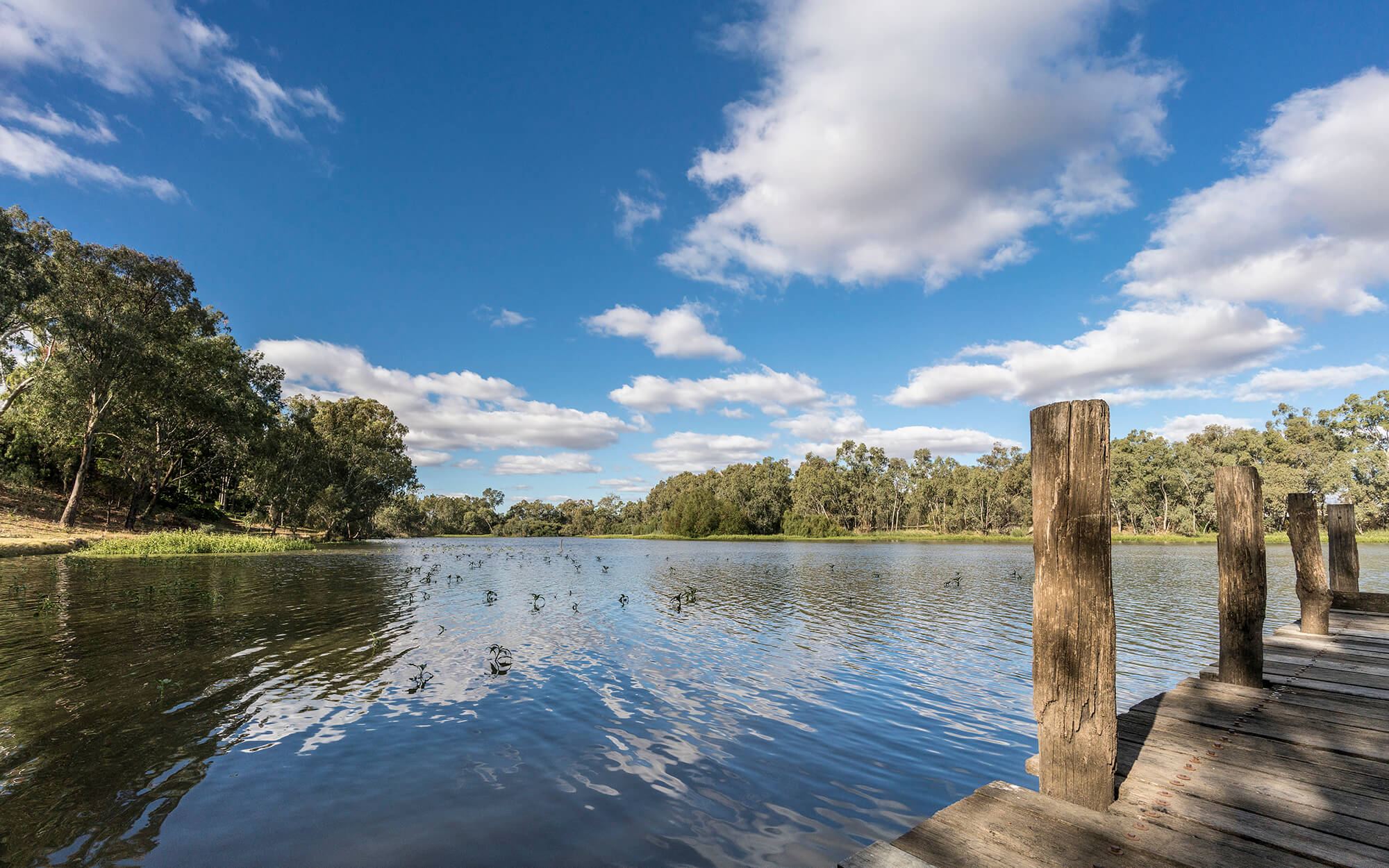
The Gwydir Alluvium Water Resource Plan covers groundwater within the alluvial deposits of the Gwydir River from approximately 20 kilometres downstream of Copeton Dam, continuing north-west through to approximately 45 kilometres west of Moree.
The Gwydir Alluvium (GW15) is composed of the following two sustainable diversion limit resource units (SDL resource units):
- Lower Gwydir alluvium (GS24)
- Upper Gwydir alluvium (GS43)
Commonwealth accreditation process
The NSW Government first submitted the Gwydir Alluvium Water Resource Plan to the Murray–Darling Basin Authority (MDBA) in April 2020 and resubmitted it with changes in December 2022.
Read the draft plan at the MDBA website
Changes made to the draft plan based on feedback from public consultation and the MDBA’s preliminary advice are provided in the summary of changes fact sheet PDF, 324.95 KB.
Public exhibition
Public exhibition of the Gwydir Alluvium Water Resource Plan is now closed. Public information sessions were held in Moree and Bingara in December 2018. All submissions have been reviewed by the department.
The following respondents agreed to have their submissions published on this website. Note that not all respondents elected to have their submissions published.
Submissions
The views expressed in the submissions are the views of the respondents. While the department seeks to ensure that offensive material is not published, the department is not responsible for the views expressed in the submissions.
Download the submissions (PDF. 2,865KB)If you require assistance in reading these documents, please contact 1300 081 047 or water.enquiries@dpie.nsw.gov.au