Submitted April 2020
Withdrawn May 2021
Resubmitted February 2022
Accredited September 2022
What area does the plan cover?
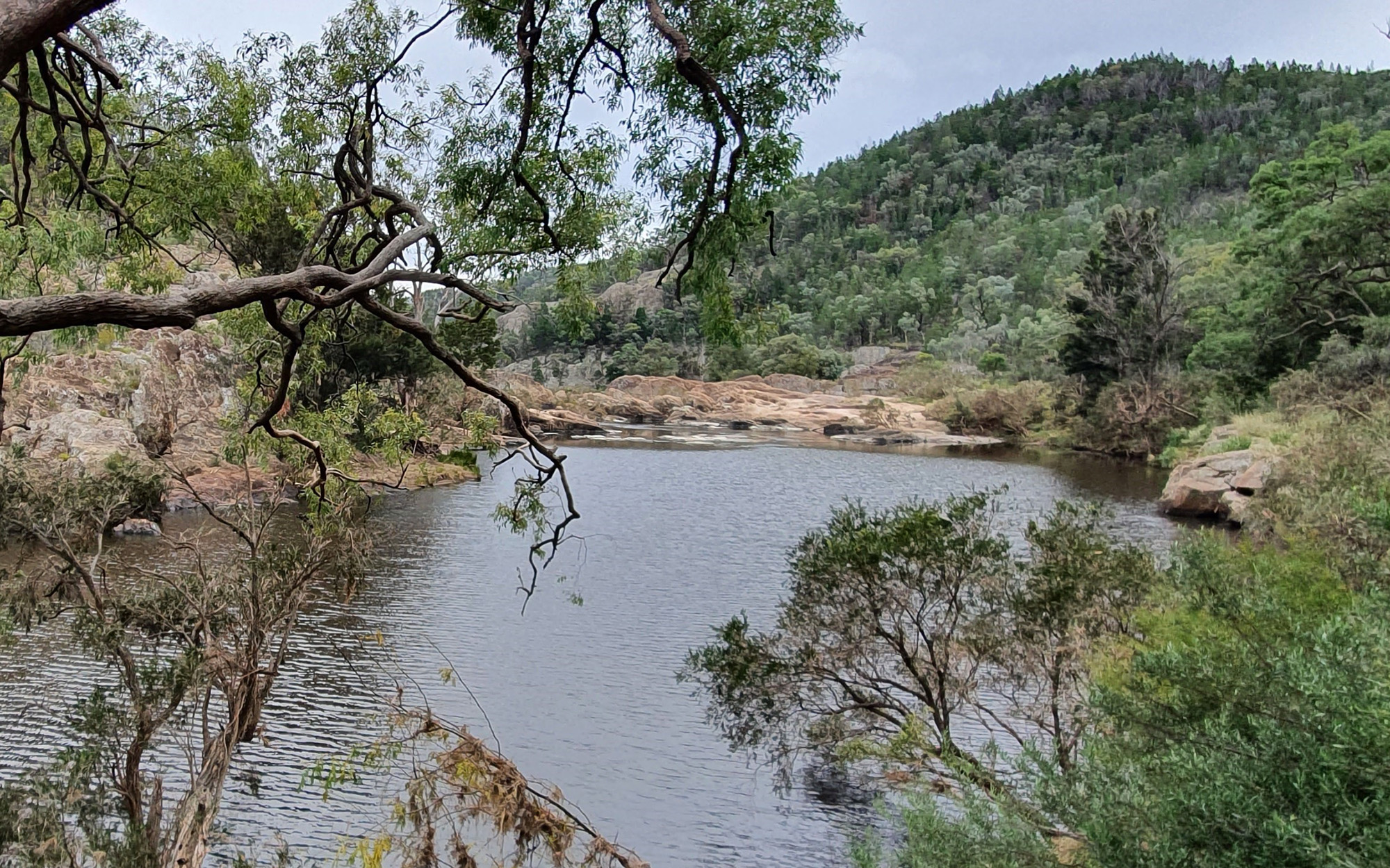
The NSW Border Rivers Alluvium Water Resource Plan covers groundwater within the NSW alluvial deposits of the Dumaresq River, Macintyre River and Ottleys Creek.
The NSW Border Rivers Alluvium is composed of the following three sustainable diversion limit resource units (SDL resource units):
- NSW Border Rivers Alluvium (GS32)
- NSW Border Rivers Tributary Alluvium (GS33)
Commonwealth accreditation process
The NSW Government first submitted the NSW Border Rivers Alluvium Water Resource Plan to the Murray–Darling Basin Authority (MDBA) in April 2020 and resubmitted it with changes in February 2022. The plan is now operational, following its accreditation by the MDBA in September 2022.
Changes made to the draft plan based on feedback from public consultation and the MDBA’s preliminary advice are provided in the summary of changes fact sheet PDF, 230.64 KB.
- You can read the final accredited plan on the MDBA website.
Public exhibition
Public exhibition of the NSW Border Rivers Alluvium Water Resource Plan is now closed. A public information session was held at Texas in August 2019. All submissions have been reviewed by the department.
The following respondents agreed to have their submissions published on this website. Note that not all respondents elected to have their submissions published.
Submissions
The views expressed in the submissions are the views of the respondents. While the department seeks to ensure that offensive material is not published, the department is not responsible for the views expressed in the submissions.
Download the submissions (PDF. 328KB)If you require assistance in reading these documents, please contact 1300 081 047 or water.enquiries@dpie.nsw.gov.au