Why monitor native vegetation?
Water dependent native vegetation species and communities depend on river flows, floodplain run-off and groundwater to sustain them. Water Sharing Plans (WSPs) in NSW and the Murray-Darling Basin Plan have environmental outcomes and objectives to maintain and improve the health of water dependent vegetation.
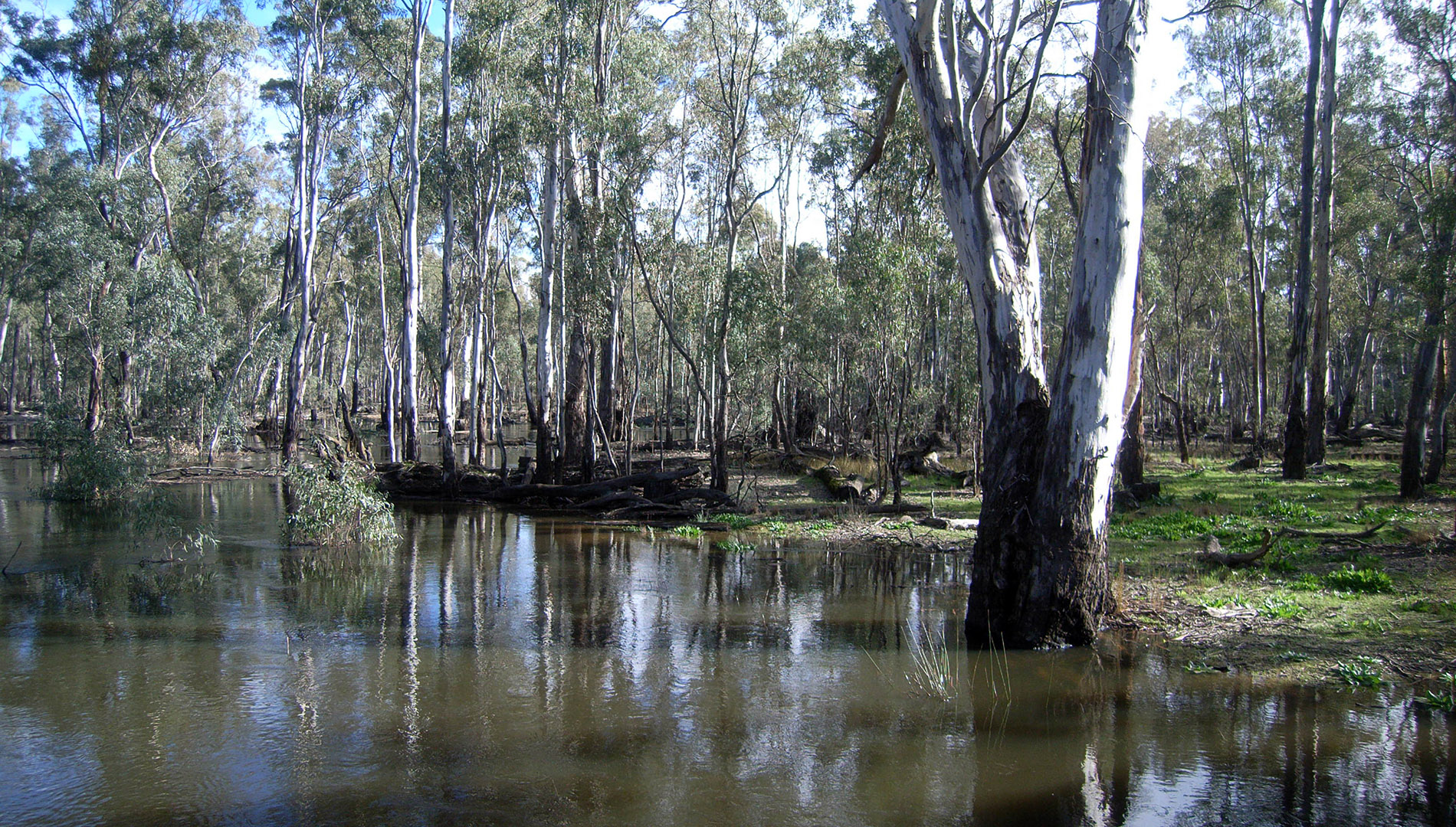
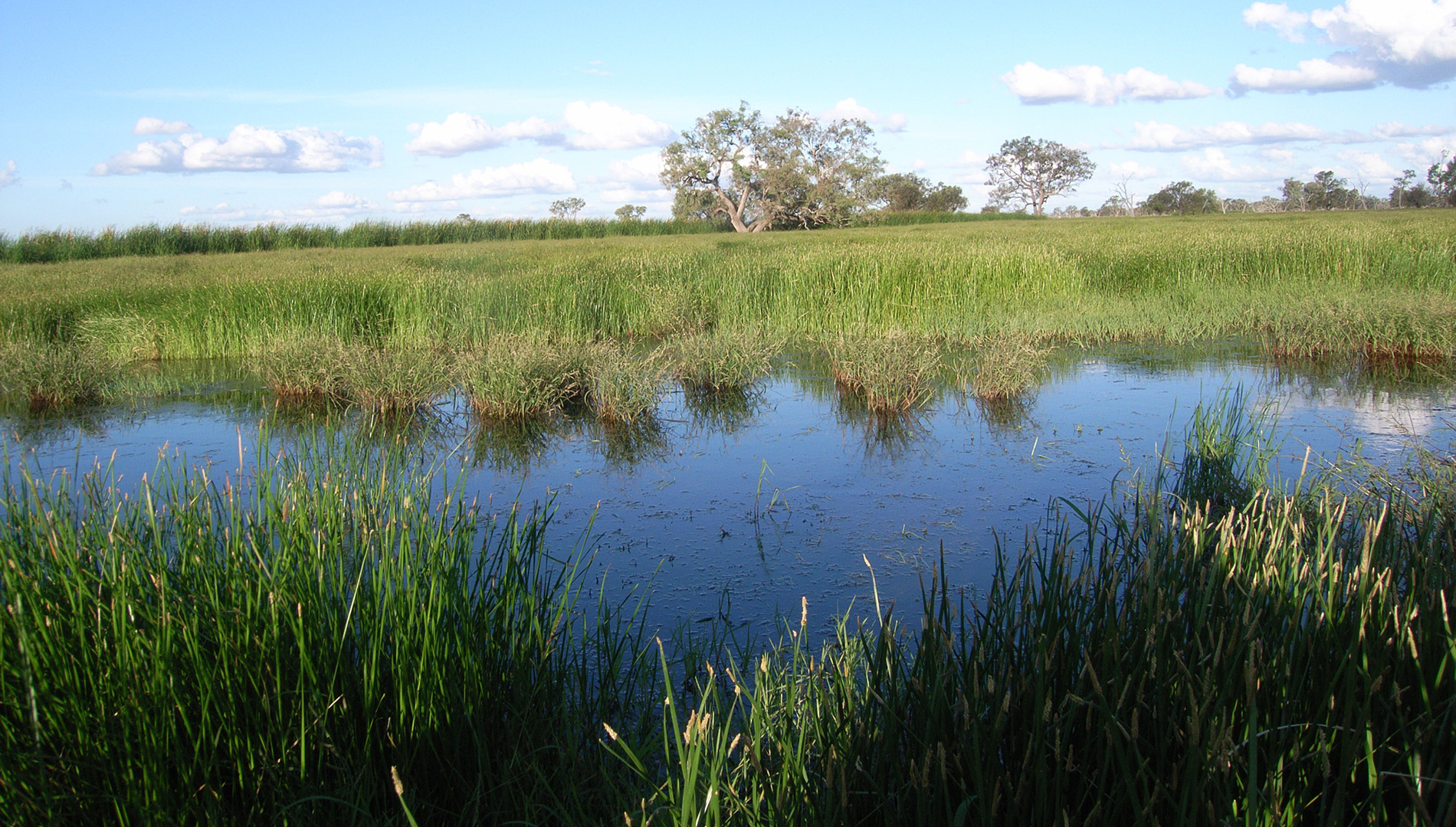
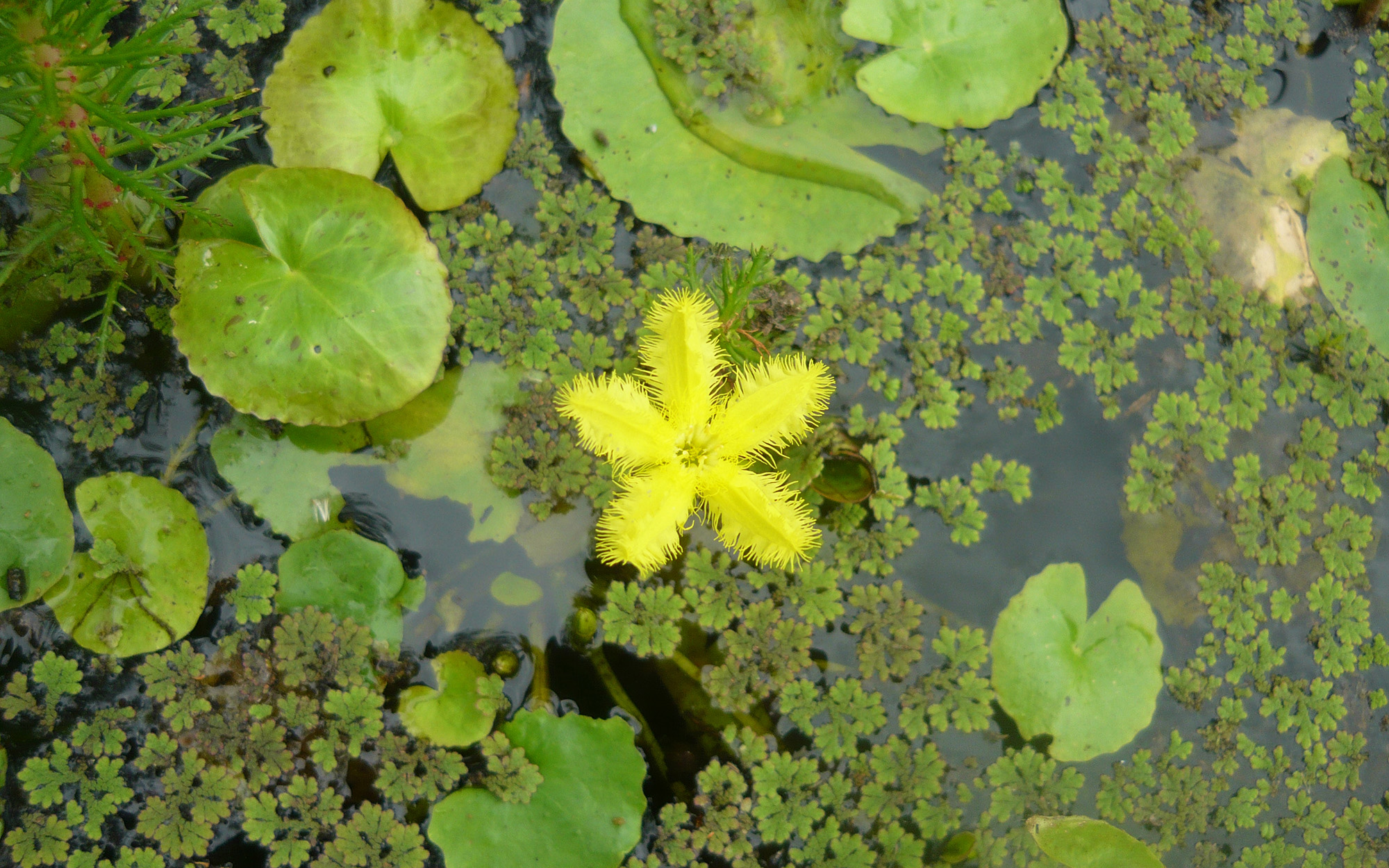
Floodplain, wetland and riparian vegetation communities are important habitats for native fauna such as fish, frogs, birds and reptiles and supply many of the nutrients that sustain the river ecosystem. Changes to the flow regime of rivers and floodplains can impact on the health of vegetation communities and affect the quality of habitat they provide.
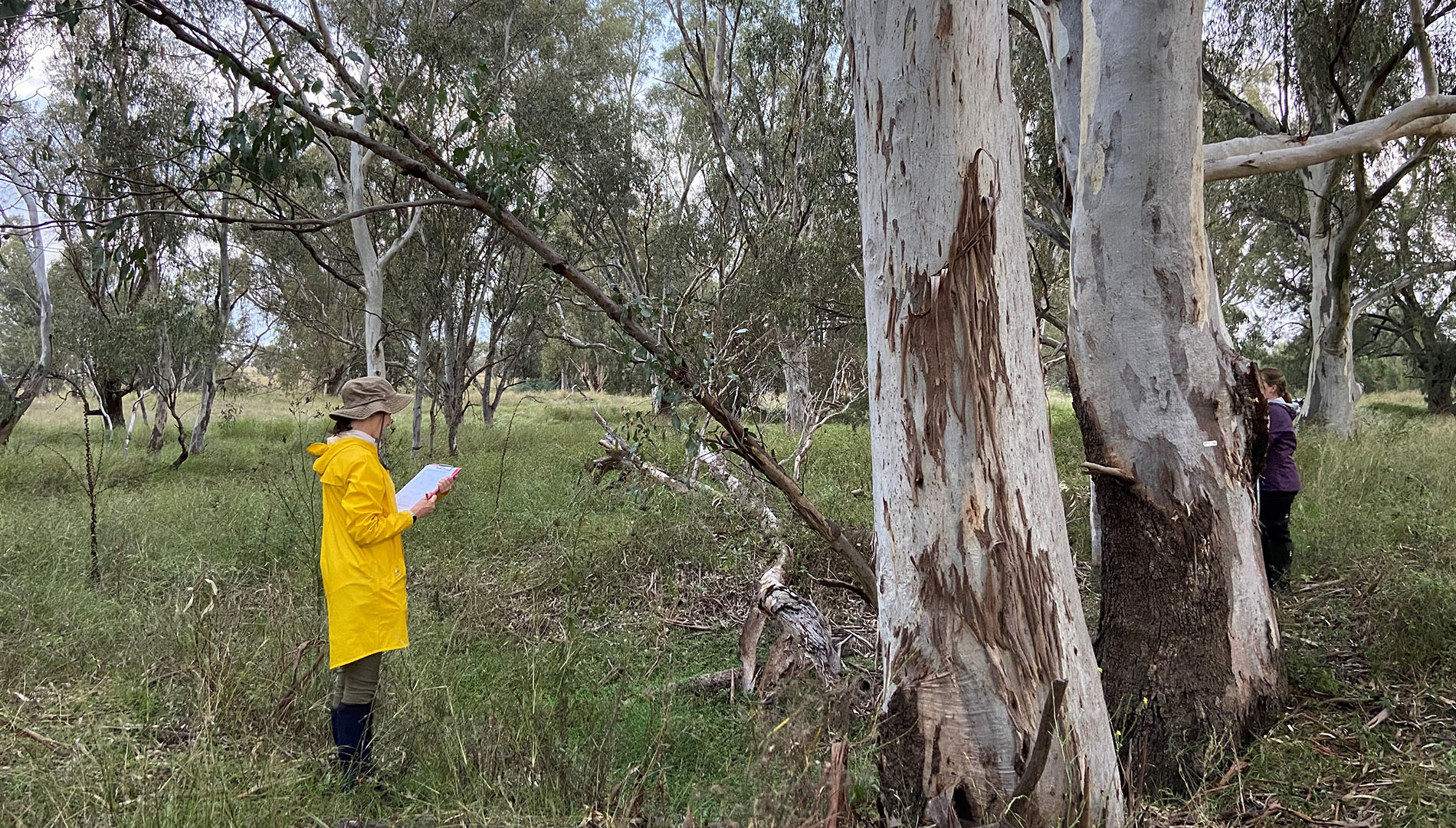
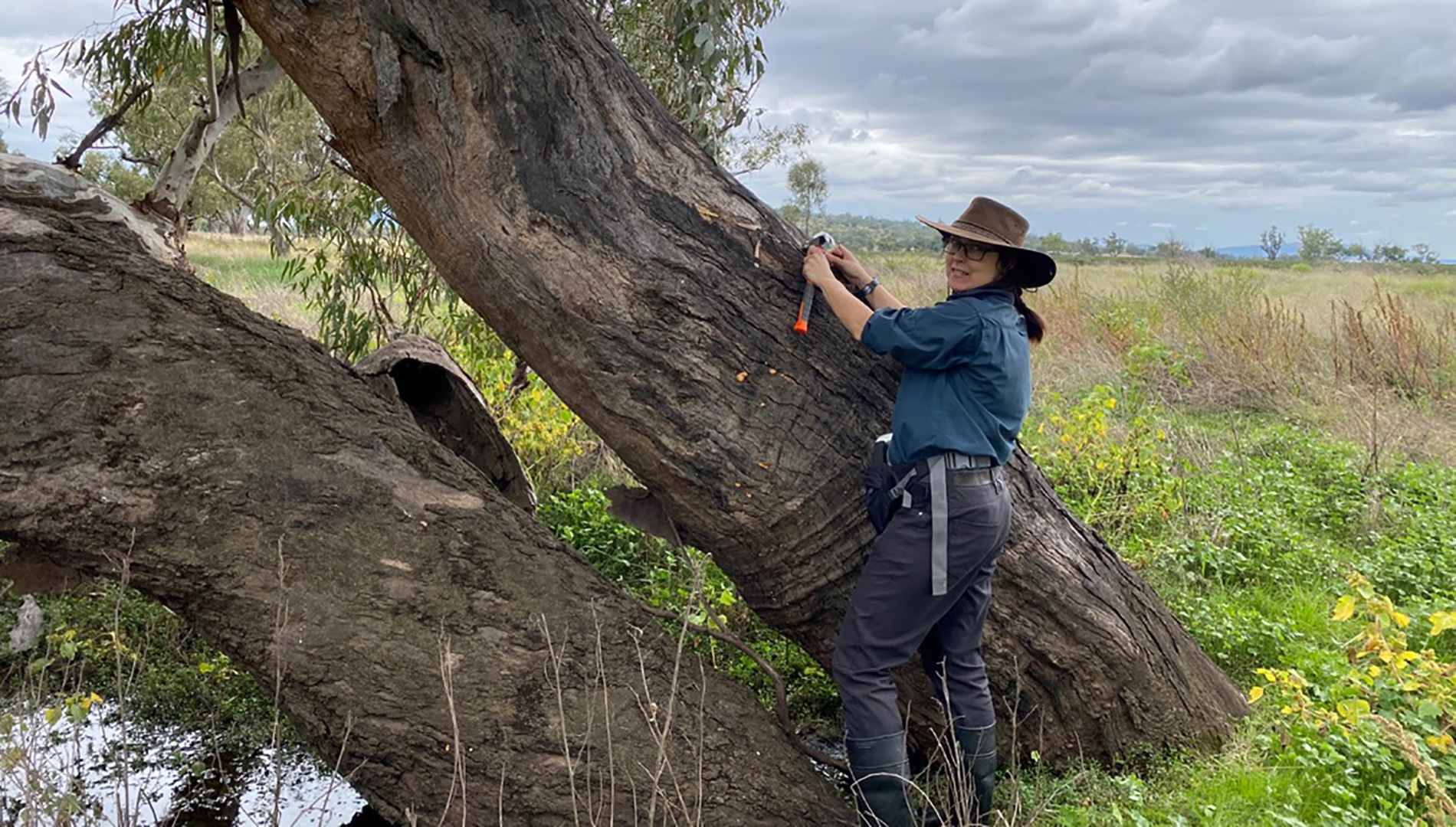
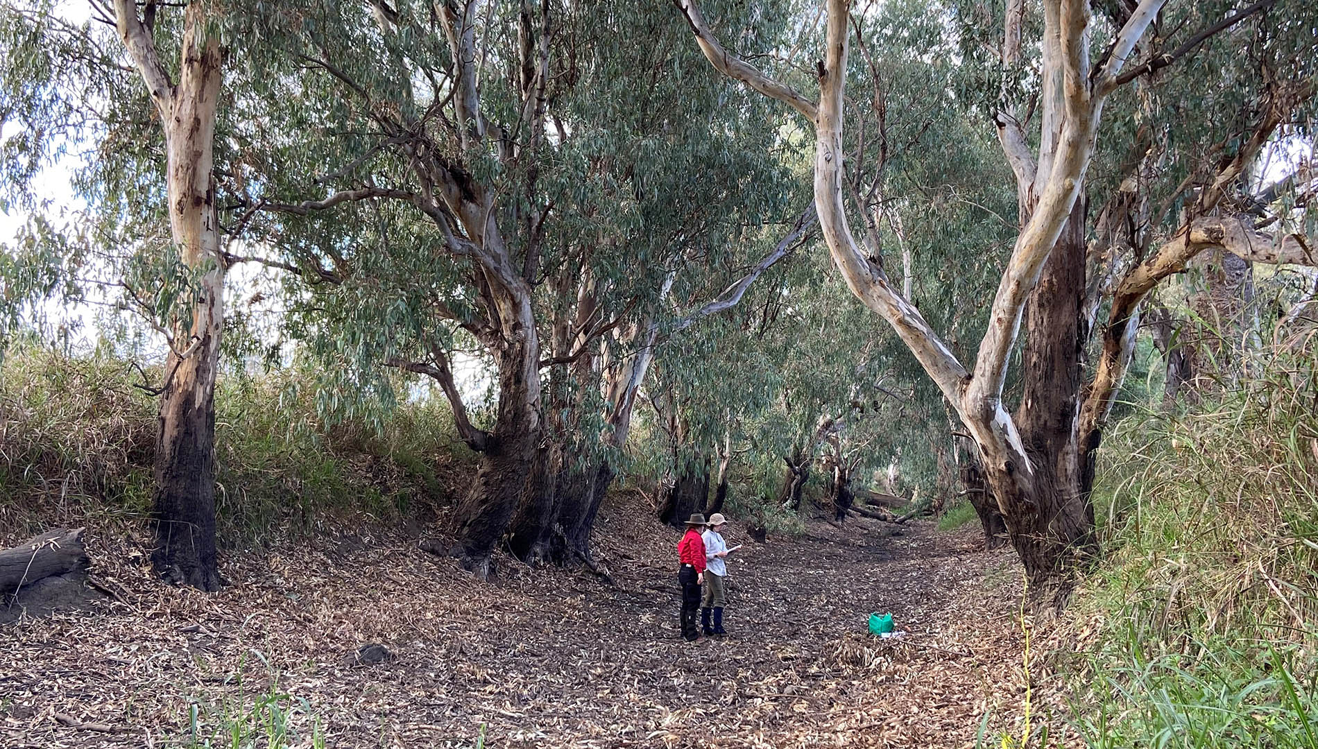
To manage water effectively under WSPs and the Basin Plan, the department needs to understand how water dependent vegetation species respond to river flows and flooding. To do this we monitor the condition and community structure of important communities such as river red gum (Eucalyptus camaldulensis), coolibah (Eucalyptus coolabah), and black box (Eucalyptus largiflorens) communities along rivers and in floodplains as part of the Environmental Outcomes Monitoring and Research Program.
This monitoring and research will provide us with important baseline data to help us to track changes in vegetation condition over time and improve the management of water resources by informing rules in Water Sharing Plans and the Basin Plan.
- Monitoring baseline tree condition in floodplain vegetation communities
- Research and monitoring response in community composition and demographic structure under different flows and inundation patterns
- Evaluating the effectiveness of environmental water regimes for water-dependent native vegetation communities.
Report
The 2021-22 water dependent native vegetation annual report introduces the Flood inundation mapping project that commenced during the first year of the Environmental Outcomes Monitoring and Research Program.
Download the report (PDF. 3,850KB)The aim of the 'Determining the baseline (current) condition of key water dependent woody vegetation communities in the lower Namoi and the lower Gwydir' project in 2021-22 was to develop a current baseline condition of key water dependent native vegetation communities in the lower Namoi and lower Gwydir regulated and unregulated water sharing plan areas. Establishing a baseline allows for future comparisons to be made. Determining the condition of water dependent native vegetation requires an assessment of the condition of the existing trees (tree stand), the condition of the community (structure and species composition) and tree population health (demographic condition).