Do you own or lease land along the Murrumbidgee River system?
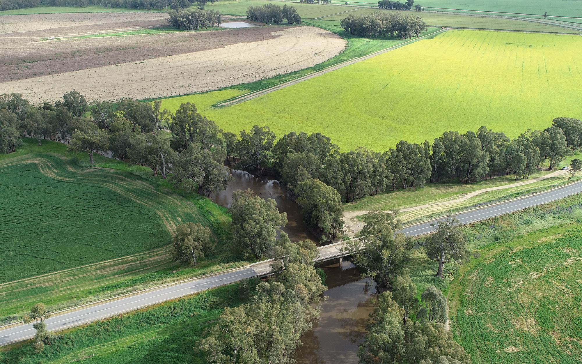
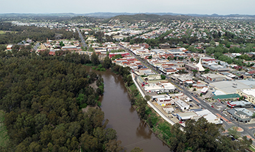
If so, your land may be affected by the Reconnecting River Country Program’s proposed flow corridor designed to increase the number of times rivers connect to wetlands and floodplains in the Murrumbidgee Valley.
The program is currently in the development phase. If the program goes ahead, these environmental flows may result in periodic low-level inundation of some land along the system.
We are currently asking landholders to identify if they may potentially be affected by the program’s proposed flow corridor along the Murrumbidgee River.
Below you will find two easy steps to help identify if your land may be affected, and if so, how to have a conversation with us about what this could mean for your property.
How to find out if you are a potentially affected landholder
Step 1. Identify if your property is in a proposed flow corridor
Use the program’s inundation maps to find out if your property may be affected by the program’s proposed flow corridor. Follow the Inundation mapping icon (below) to the Murrumbidgee River (including Yanco Creek) link and add in your address in the top right of the screen.
The inundation map shows the estimated upper limits of inundation for the flow options being proposed by the program. If your property is covered by the blue layer for any of the flow options your property may be affected.
If you want to find out more about the flow options being considered visit the flow options fact sheet on the program’s information hub.
Step 2. Sign up to have a conversation with us if you think your land may potentially be affected
Your feedback is important to us. If you’ve checked the inundation map and think your property may be affected by the proposed flow corridor, please sign up to have a conversation with us using the landholder registration form below.
After signing up, a program officer will be in contact with you to talk about the program.
Find out if your property may be affected by the proposed flow corridor.

Register to have a conversation with us.
Find out more about the Reconnecting River Country Program.
Contact us
Need assistance determining if your property may be affected, or help registering to participate in the program?
Get in contact with us by:
- phoning 1300 081 047
- emailing admin.rrcp@dpie.nsw.gov.au