Inundation modelling for the program area
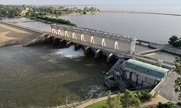
In July 2022, the NSW Government released improved online inundation modelling for the program area.
These interactive maps show the estimated upper limits of inundation if there was a change in flow under several different options being considered by the program.
They have been developed using comprehensive hydraulic modelling, which was checked against satellite imagery and/or aerial photography collected during several recent natural high flow events (natural and dam release) in the Murray and Murrumbidgee valleys.
View the maps from the following project areas.
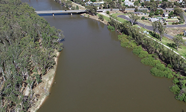
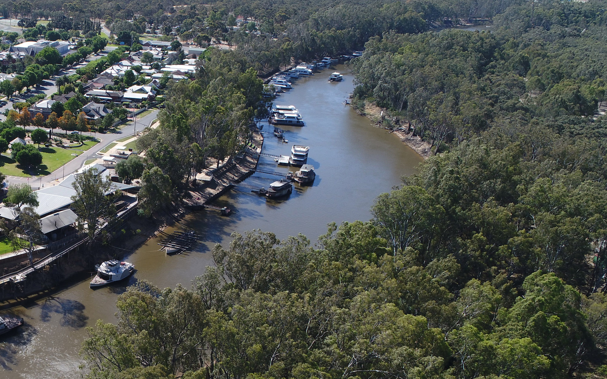
An inundation interactive map for the Murray River between the Yarrawonga Weir and its confluence with the Wakool River.
An inundation interactive map for the the Murray River between Hume Dam and Yarrawonga Weir.
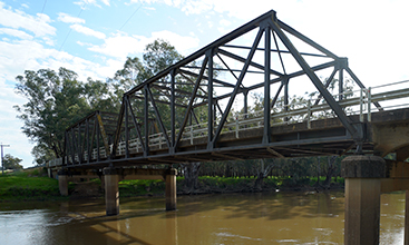
An inundation interactive map focusing on the Murrumbidgee River between the Burrinjuck Dam and its confluence with the Murray River.
Webinar
Watch the recording of the program's introduction to modelling webinar held on 27 June 2022.